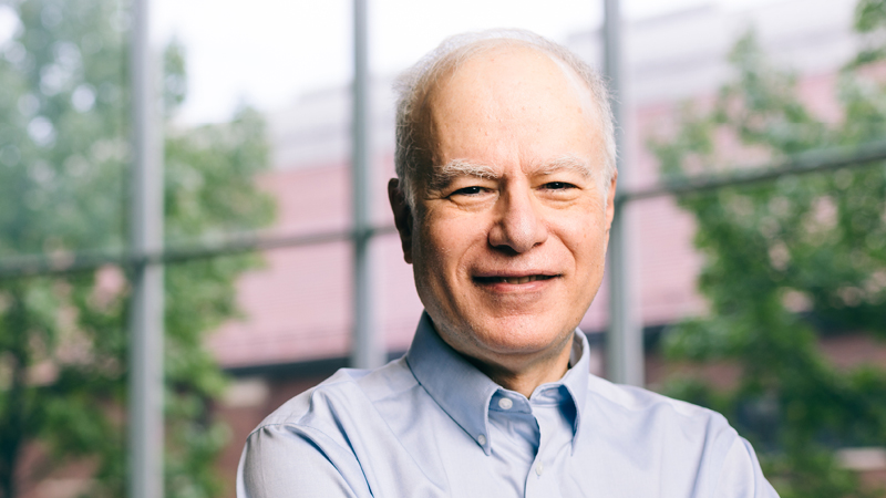
Gotthard Meinelمشاهده پروفایل
پژوهشگر ارشد
- Geoinformatics
- Remote Sensing
- Land Use Monitoring
- +۵ مورد دیگر
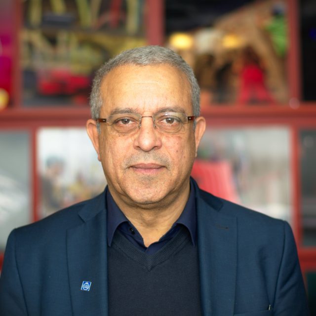
Gotthard Meinel is a Senior Fellow at the Leibniz Institute of Ecological Urban and Regional Development (IOER) since 2023, with a distinguished career spanning over three decades in geoinformatics and spatial analysis. Previously, he served as Head of the Research Department for Spatial Information and Modeling (2009-2022) and held various leadership positions within the institute since joining in 1992. Meinel received his education at the Technical University of Dresden, graduating in Information Technology in 1981. He pursued postgraduate studies in biomathematics and earned a specialist mathematician degree between 1981-1992, culminating in his promotion (PhD equivalent) in 1987. His research focuses on geoinformatics, particularly remote sensing image processing and the automated analysis of large geospatial datasets. Meinel specializes in monitoring land-use developments and building stock through advanced spatial analysis methods. His work encompasses the development of indicators and visualization technologies for understanding settlement patterns and open space dynamics. With expertise spanning computer science, mathematics, and spatial analysis, Meinel has made significant contributions to the field of land use monitoring in Germany. Analysis of Meinel's recent publications reveals a strong focus on land use monitoring systems, spatial data infrastructure, and the integration of survey and geospatial data. His research increasingly emphasizes interdisciplinary approaches, combining urban planning, environmental science, and data science to address complex spatial challenges. Key trends include the development of comprehensive monitoring frameworks, analysis of building stock characteristics, and exploration of sustainable land use practices across Germany. Meinel has led or participated in numerous significant research projects including the Social-Spatial Research Data Infrastructure (SORA), the Research Database for Non-Residential Buildings (ENOB:DataNWG), OpenGeoEdu, and the Competence Center for Scalable Data Services and Solutions (ScaDS). These projects demonstrate his leadership in developing innovative spatial data infrastructures and analytical approaches. As project leader and principal investigator, Meinel has supervised numerous research initiatives and likely mentored students and junior researchers, though specific advisees are not documented in the provided materials. His work has significantly influenced spatial planning practices and land use monitoring methodologies in Germany. Meinel's research is closely associated with the IOER Monitor, a comprehensive spatio-temporal research data infrastructure for settlement and open space development in Germany. His team has developed sophisticated methodologies for analyzing land use change, building stock dynamics, and urban structure through the integration of topographic data, remote sensing, and statistical approaches.