Mike Willisمشاهده پروفایل
دانشیار
- Cryospheric Science
- Geodesy
- Remote Sensing
- +۳ مورد دیگر
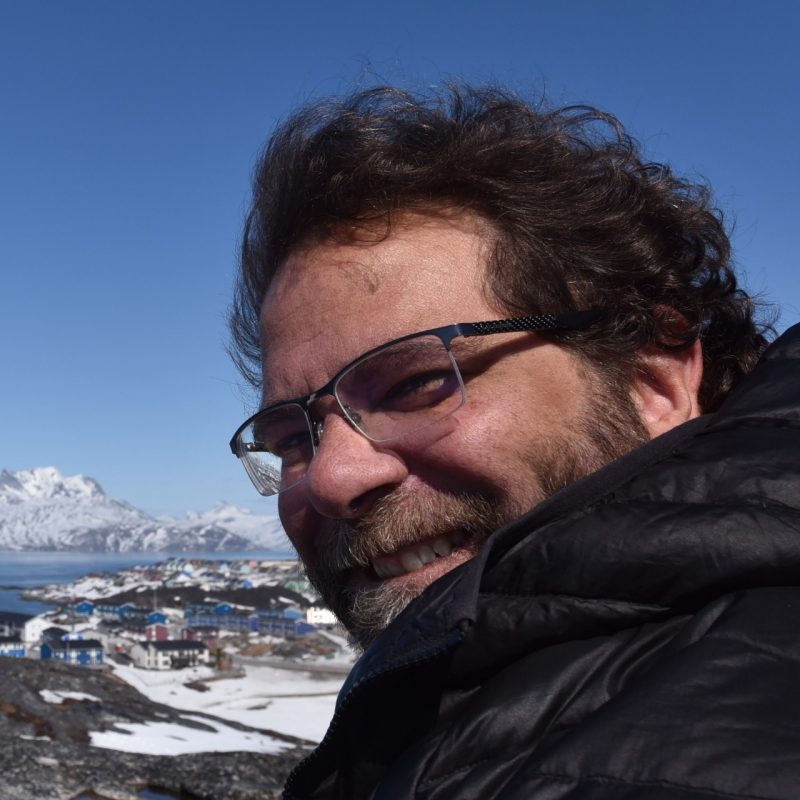
Mike Willis is an Associate Professor of Cryospheric Science, Geodesy & Remote Sensing at the Department of Geosciences, Virginia Tech's College of Science. His research focuses on advancing remote sensing techniques to study Earth's cryosphere, coastal environments, and natural hazards. He leads projects on glacial dynamics, sea level rise impacts, landslide monitoring, and the application of GNSS and InSAR technologies. His work combines field instrumentation (e.g., OrangePi-GNSS systems) with satellite data analysis to address climate and geohazard challenges in polar regions and coastal communities. Education background: Not explicitly stated in provided text. Research interests include cryospheric science, geodetic monitoring, and environmental remote sensing applications. His lab group maintains a dedicated website at https://sites.google.com/view/4datvt/ . Key research themes include: Glacier and ice shelf mass balance Coastal vulnerability to sea level rise Disaster monitoring using GNSS-IR and InSAR High-resolution digital terrain modeling Recent projects highlight work in Greenland (landslide monitoring, sea level measurements), the Pacific Northwest (subduction zone hazards), and the Dominican Republic (coastal inundation modeling). His interdisciplinary approach bridges geophysical observations with computational geospatial analysis.