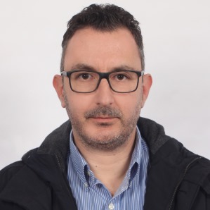
Dr. Sotirios Koukoulas is an Associate Professor at the Department of Spatial Planning, Urban Planning and Regional Development at the University of Thessaly since 2023. His academic career spans over 20 years, including roles as Lecturer (2002–2023) and Postdoctoral Researcher (2001–2002) at the University of the Aegean. He holds a PhD in Remote Sensing and GIS from King’s College London, an MSc in Statistics from the University of Lancaster, and a Bachelor’s in Environmental Science from the University of the Aegean. Research Interests: Remote Sensing and GIS applications for land use/cover change Coastal erosion modeling and climate change impacts Urban growth analysis and sprawl monitoring Environmental degradation and desertification mapping Spatial metrics in ecological and urban planning Key Academic Contributions: Pioneered GIS models for landfill site selection and coastal resilience Developed integrated coastal simulation tools (SCAPEGIS) Created statistical frameworks for extremal dependence in coastal systems Advanced land cover classification using machine learning (Random Forests) Contributed to EU climate cost assessment projects (ClimateCost, CIRCE) Scientific Recognition: Recipient of Marie Curie Outgoing International Fellowship Member of editorial boards for PLOS One and Remote Sensing journals Active in international conference scientific committees (EARSeL, IGARSS) Collaborated with institutions in the UK, Ireland, Germany, and China Teaching and Leadership: Lectures on Remote Sensing, Statistics, and Land Cover Mapping Coordinator of university research grants and EU-funded projects Advisor for graduate students in environmental and urban studies
فیلترهای فعال: