- Remote Sensing
- Deep Learning
- Machine Learning
- +۱۰ مورد دیگر
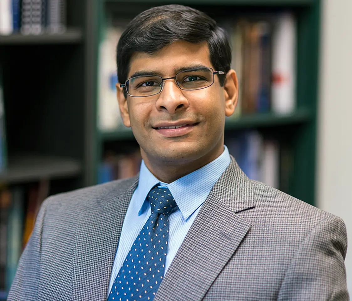
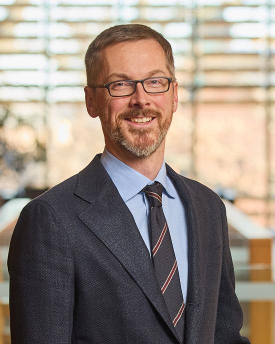
Raian Vargas Maretto is an Assistant Professor in the Department of Earth Observation Science at the University of Twente. With a PhD in Applied Computing (2020) and an MSc in Remote Sensing (2011) from Brazil’s National Institute for Space Research (INPE), he couples deep-learning innovation with large-scale geospatial data to monitor land-use dynamics, urban deprivation and forest loss. Education: PhD Applied Computing, INPE (2020) MSc Remote Sensing, INPE (2011) BSc Computer Science, Federal University of Ouro Preto (2008) His research integrates computer vision, machine-learning and data-mining techniques with multi-sensor satellite imagery to derive actionable geographic information. Core interests encompass remote-sensing image analysis, sensor fusion, pattern recognition, GIS development, land-cover & vegetation mapping, and AI-based environmental monitoring . Across 35 recent outputs, three dominant strands emerge: (i) deep-learning architectures for semantic segmentation of deprived urban areas and Cerrado vegetation; (ii) energy-balance and vegetation-index approaches for crop evapotranspiration estimation; and (iii) space-education analytics that map European curricula to foster a sustainable space workforce. These works increasingly couple open-data philosophies with transparent AI to support SDG targets. Software & Systems: Maretto has contributed to TerraLib, TerraView, TerraME, GeoDMA and the DeepGeo package, championing open-source GIS tools. Field & Policy Engagement: He served as visiting researcher at the Ethiopian Space Science & Geospatial Institute (2022 & 2023) and has given media interviews on AI-powered deforestation monitoring.