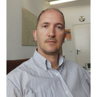
Dr. Paul Magdon is a Professor of Geoinformation and Forest Planning at the Faculty of Resource Management, HAWK University of Applied Sciences and Arts (HAWK) in Göttingen, Germany. He specializes in geospatial data management, remote sensing applications for forestry, and spatial data infrastructure development. His core research focuses on: Advanced remote sensing techniques (LiDAR, radar, multispectral) Forest inventory methodologies and carbon monitoring Geospatial web platforms and data infrastructure Biodiversity assessment through landscape metrics 3D forest modeling and structural analysis Recent publications demonstrate strong emphasis on: Machine learning applications in tree crown detection Multi-temporal analysis of forest dynamics Integration of airborne/satellite data with ecological studies Development of open-source geospatial tools Cross-scale biodiversity pattern analysis He leads significant research projects including a BMVI-funded initiative on climate-adapted tree species distribution modeling and coordinates spatial data for the CRC 990 ecological research program. He teaches courses on remote sensing image processing, forest inventory, and drone applications at the University of Göttingen. As part of the ForestEye research group and UAV Campus initiative, he develops operational tools like the EFForTS-WebGIS platform for spatial data analysis in tropical rainforest research.