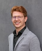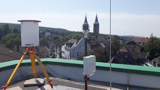
Prof. Dr.-Ing. Dirk Eling is a Professor in the Department of Geodesy at Bochum University of Applied Sciences, where he leads courses including Fundamentals of Engineering Surveying, BIM, and Geodetic Monitoring. He coordinates the Laboratory for Instrument Testing and Length Metrology, providing calibration services for surveying equipment. His research focuses on: Geodetic structural monitoring (e.g., automated tachymetric systems at Christ Church Schwelm since 2019) Building Information Modeling (BIM) applications in infrastructure (project lead for BIM.Ruhr since 2020) Terrestrial laser scanning for deformation analysis (e.g., Westhofen weir monitoring since 2014) Publication analysis reveals consistent emphasis on precision measurement technologies, with recent works exploring BIM integration and terrestrial laser scanning for infrastructure diagnostics. Earlier research centered on photogrammetry and statistical error modeling. He has supervised over 30 Master's students on topics including: BIM implementation in bridge rehabilitation Automated monitoring systems Point cloud processing for deformation analysis Geodetic instrumentation accuracy