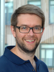
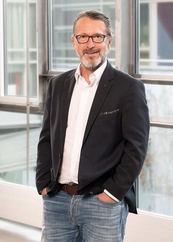
Prof. Dr. Eng. Plamen Maldzhanski is a Professor in the Department of Photogrammetry and Cartography at the Faculty of Geodesy, University of Architecture, Civil Engineering and Geodesy (UACEG) in Sofia, Bulgaria. He maintains office P228 and holds reception hours on Wednesday from 12-13. His academic career spans several decades, with significant contributions to photogrammetry, digital image processing, and geospatial technologies. Education Engineer in Geodesy, Photogrammetry and Cartography (1985), UACEG-Sofia Computer Engineering (1993), Technical University of Sofia Doctor of Photogrammetry and Remote Sensing Methods (1998), UACEG-Sofia Professor of Photogrammetry and Remote Sensing Methods (2012), UACEG-Sofia Research Interests Prof. Maldzhanski's research spans multiple areas within photogrammetry and geospatial technologies. His primary focus is on developing advanced methods for image processing and 3D modeling. He has made significant contributions to both theoretical frameworks and practical applications of photogrammetric technologies, particularly in architectural documentation and cultural heritage preservation. His expertise encompasses: Analytical and digital photogrammetry Close-range photogrammetry and laser scanning 3D modeling of surfaces and architectural structures Digital image processing and analysis Integration of photogrammetric data with GIS systems Development of specialized software for geodetic applications Publication Trends Prof. Maldzhanski's publication record demonstrates a clear evolution from traditional photogrammetric methods toward digital and computational approaches. His recent work (2017-2023) focuses heavily on photorealistic modeling, close-range photogrammetry applications for cultural heritage documentation, and integration of modern technologies like Google Maps API with geospatial data. His publications reveal a strong emphasis on practical applications in architectural documentation, precision measurement, and digital preservation of cultural sites. Awards and Professional Recognition Member of the Union of Geodesists and Land Surveyors Licensed professional for cadastral work (License No. 157) Full design capability license from KIIP Academic Leadership and Grants Prof. Maldzhanski has held significant administrative positions including Vice-Dean for Academic Affairs at the Geodesy Faculty and Vice-Rector for International Cooperation and Postgraduate Qualification. He has participated in multiple research projects funded by academic and government institutions, focusing on satellite imagery applications, architectural photogrammetry for cultural heritage documentation, and development of spatial data infrastructure. His grant activities include: "Използване на космически снимки за целите на регионалното и териториално планиране" (2007) "Възможности за създаване и обновяване на навигационни карти" (2008) "Използване на архитектурната фотограметрия при документиране паметници на културата" (2009) "Академичен център 'Дистанционни изследвания и мобилна инфраструктура на пространствени данни'" (2009) Software Development and Technical Contributions Prof. Maldzhanski has developed several significant software packages that bridge theoretical photogrammetry with practical applications: "PHOTO" software package for analytical photo processing and digital mapping "Geodesy" software for geodetic tasks, network adjustment, and terrain modeling "TEST_RGO" program for testing geodetic measurements according to Regulation 19 of the Cadastre Agency