
معرفی
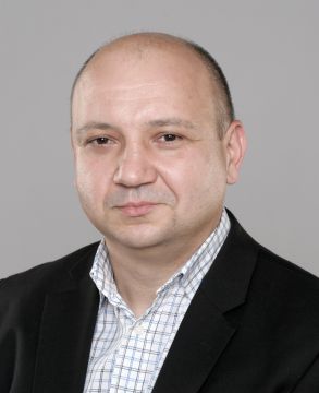
Terje Midtbø is a Professor in the Department of Civil and Environmental Engineering at NTNU, part of the Faculty of Engineering. His research focuses on Cartography, Geographical Information Science (GIS), and spatio-temporal visualization. He leads the 5-year Master's Programme in Engineering and ICT at NTNU and holds leadership roles in organizations like GeoForum (Norwegian Association for Geomatics) and the International Cartographic Association (ICA).
His work explores map animations, web-based geographic information distribution, and indoor positioning systems. Notable contributions include studies on hazard map intuitiveness, cartographic terminology standardization, and uncertainty visualization in geoscience contexts. He frequently publishes in journals like Cartography and Geographic Information Science and Journal of Geovisualization and Spatial Analysis.
Midtbø has organized and participated in international cartographic events, contributing to the development of the Cartographic Body of Knowledge. His recent work emphasizes digital innovation in mapping, including applications of machine learning in remote sensing and VR/AR interfaces for spatial data.
Terje Midtbø در سایتهای دیگر
جستوجوهای مرتبط
شاید اینها هم برایتان مناسب باشند
 Menno-Jan KraakUniversity of Twente · استاد
- JJennifer MasonUniversity of Arizona · دانشیار
 Paweł CebrykowMaria Curie-Sklodowska University · استادیار
 Barend KöbbenUniversity of Twente · مدرس ارشد
- AAnthony C. RobinsonPennsylvania State University · استاد
- AAnthony RobinsonPennsylvania State University · استاد