
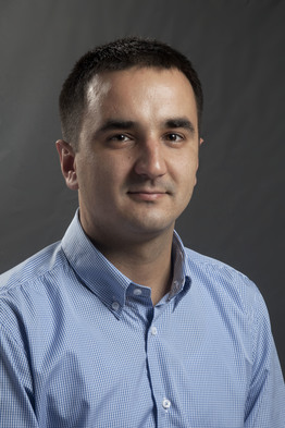
معرفی
Slavko Vasiljević is an Associate Professor at the Faculty of Architecture, Civil Engineering and Geodesy of the University of Banja Luka. Specializing in geodesy and geomatics, his work focuses on structural monitoring, GIS applications, cadastral systems, and geodetic network design. He has contributed to projects such as the establishment of the Republic of Srpska’s vertical reference framework and the geodetic monitoring of the Bočac Dam.
His research spans geospatial data analysis, structural deformation measurement, and flood modeling. Notable work includes enhancing digital image quality using MATLAB and developing GIS models for population census analysis. He actively participates in international conferences, presenting on topics like geodetic control systems for high structures and spatial data paradigms.
- Projects: Led and collaborated on projects involving architectural heritage documentation, mineral detection in agriculture via remote sensing, and academic excellence in geoinformatics.
- Awards: Received the First Prize in the category of environmental protection and landscape architecture for the Arboretum project in Banja Luka.
His interdisciplinary work bridges geodesy with civil engineering, environmental science, and urban planning, contributing to infrastructure development and disaster management strategies.
Slavko Vasiljević در جاهای دیگر
جستجوهای مرتبط
شاید اینها هم به کارتان بیاید
- TTanja ĐukanovićUniversity of Banja Luka · استادیار
- MMladen AmovićUniversity of Banja Luka · دانشیار
- MMladen AmovićUniversity of Mostar · دانشیار
 Gordana JakovljevićUniversity of Banja Luka · دانشیار
 Pavel PavlovUniversity of Architecture, Civil Engineering and Geodesy · استاد
- SSiniša CvijićUniversity of Banja Luka · دانشیار