معرفی
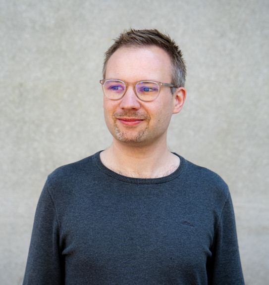
René Westerholt is an Assistant Professor (Juniorprofessor) in Spatial Modelling at the Department of Spatial Planning at Technische Universität Dortmund, Germany. He also leads the Spatial Modelling Lab (RAM) and is affiliated with the GIScience research group at Heidelberg University. His academic background includes a PhD in Geography from Heidelberg University and an M.Sc. in Geoinformatics from Osnabrück University.
His research focuses on spatial analysis methodologies, particularly integrating social dimensions into quantitative analysis. Key areas include geosocial media data analysis, spatial autocorrelation, and urban analytics. He has interdisciplinary experience in software development for nature conservation and agricultural projects, and is active in professional societies like the Royal Geographical Society and DGPF.
Teaching responsibilities include leading the M.Sc. Urban Analytics and Visualisation programme at the University of Warwick and courses such as IM913 Spatial Methods and IM927 Digital Cities. His work bridges theoretical GIScience with practical applications in urban planning and environmental studies.