معرفی
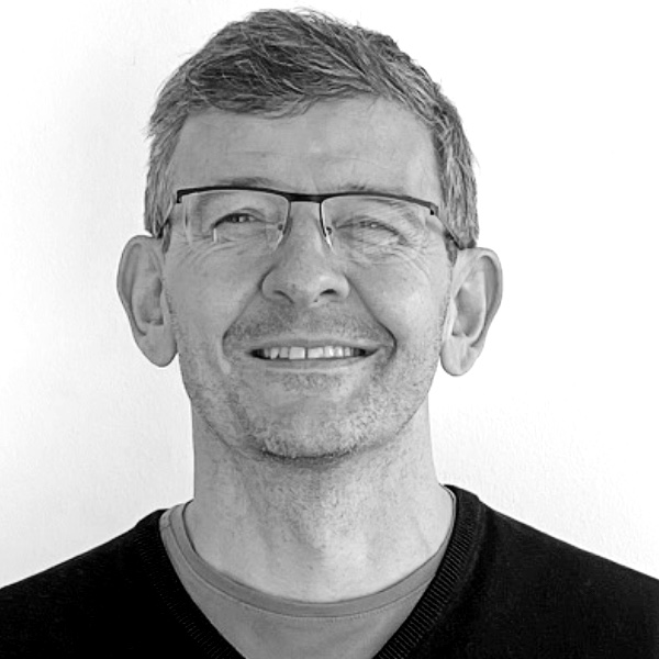
Peter Kiefer is a Lecturer at ETH Zurich's Department of Civil, Environmental and Geomatic Engineering, specifically within the Institute for Cartography and Geoinformation. He leads the geoGAZElab research group since 2011 and has established himself as a prominent researcher in eye tracking applications for spatial decision-making. His work bridges geography, computer science, and human factors with a focus on creating cognition-aware systems.
Dr. Kiefer's research spans multiple domains with a consistent focus on how eye tracking technology can enhance spatial decision situations. His primary interests include gaze-based interaction with maps, location-based services, mobile interfaces, and aviation applications. He has pioneered work in intention recognition from gaze patterns, gaze-adaptive interfaces, and the application of eye tracking in outdoor environments. His research aims to make information systems cognition-aware by inferring users' cognitive states and adapting interfaces accordingly.
Analyzing his recent publications reveals strong trends toward practical applications of eye tracking in real-world scenarios, particularly in aviation safety and spatial decision-making. His work increasingly integrates machine learning with gaze data to create intelligent systems that can predict user needs and adapt interfaces dynamically. The research shows a clear progression from theoretical foundations to applied solutions in domains like weather visualization for pilots, 3D sketch mapping, and unobtrusive interaction techniques.
Dr. Kiefer has been actively involved in numerous research projects as Principal Investigator or key contributor, including IGAMaps (Swiss National Science Foundation), PEGGASUS (EU Horizon 2020), EFDISA (Federal Office of Civil Aviation), and FRS 2 (National Research Foundation Singapore). These projects demonstrate his ability to secure competitive funding and lead interdisciplinary research teams across international boundaries.
As an educator, Dr. Kiefer teaches Mobile GIS and Location-Based Services for Geomatics Master students, GIS I for Environmental Engineers, and contributes to courses on Mobile GIS, Human-Computer Interaction in GIS, and GIS III. He also participates in continuing education programs including the Certificate of Advanced Studies on Spatial Information Systems and the Master of Advanced Studies on Mobility of the Future. His teaching is deeply integrated with his research, particularly through the geoGAZElab where students gain hands-on experience with cutting-edge eye tracking technologies.
The geoGAZElab under Dr. Kiefer's leadership serves as a hub for innovative research at the intersection of geography, computer science, and cognitive science. The lab has developed specialized tools and methodologies for outdoor eye tracking, gaze-based map interaction, and aviation interface design. The lab's work has significant implications for improving spatial decision-making across multiple domains including transportation, urban planning, and emergency response.