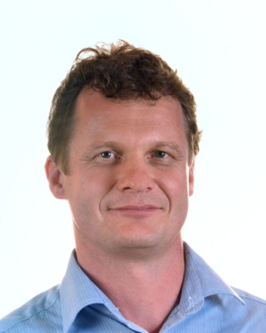
معرفی
Univ.-Prof. Michael Doneus is a Professor in the Department of Prehistoric and Historical Archaeology at the University of Vienna. He leads the department and specializes in archaeological remote sensing, airborne laser scanning (LiDAR), and interdisciplinary landscape archaeology. His work focuses on integrating geomatics technologies with traditional archaeological methods to study historical landscapes and settlement patterns in regions like Croatia, Austria, and Sicily. He has pioneered large-scale non-invasive prospection projects, such as the ArchPro Carnuntum initiative, and contributes to digital heritage documentation through 3D modeling and GIS applications.
Research interests include Roman urban planning, medieval fortified settlements, and the application of ALS in challenging environments. His teaching portfolio covers GIS for archaeologists, aerial photography interpretation, and archaeological field methods. Collaborative projects explore topics like quarrying practices in Roman Carnuntum, coastal landscapes of Cres Island, and Neolithic enclosures in Austria.
Key contributions include methodological advancements in LiDAR data processing, multi-temporal landscape analysis using historical aerial imagery, and the development of digital heritage standards. His work bridges technological innovation with archaeological inquiry, emphasizing sustainable approaches to heritage documentation and public engagement through digital tools.