
معرفی
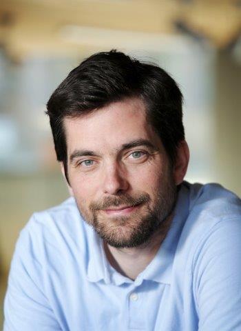
Mathieu Brédif is a Permanent Researcher at LASTIG, Gustave Eiffel University, affiliated with the National School of Geographic Sciences (ENSG) and IGN. He serves as co-chair of ISPRS Working Group II/3 on Point Cloud Processing (2016-2020) and chaired ISPRS Working Group III/5 on Graphics and Remote Sensing (2012-2016). His academic appointments include Assistant Professor at École Polytechnique teaching Image Analysis and Computer Vision (INF573) and 3D Computer Graphics (INF443) since 2019-2020.
- Telecom ParisTech PhD (2005-2010)
- Stanford University Master in Computer Science (2004)
- École Polytechnique Engineering Degree (2000-2005)
Brédif's research focuses on Lidar processing, 3D reconstruction, and geovisualization, with significant contributions to point cloud analysis, urban scene modeling, and historical image integration. His work bridges computer vision, photogrammetry, and geographic information systems, emphasizing practical applications in urban planning and cultural heritage. He has developed novel algorithms for point cloud inpainting, visibility estimation, and distributed 3D reconstruction.
His publications reveal consistent focus on urban modeling through point cloud processing (58% of works), image-based rendering techniques (22%), and geovisualization systems (15%). The research trajectory shows increasing emphasis on deep learning applications for LiDAR data since 2016, alongside continued development of geometric algorithms for photogrammetric processing.
- ANR project leadership in geospatial data valorization (structurAtion et vaLorisation du patrimoinE géoGraphique - 9)
- iSpace&Time 4D web GIS development (5)
- European project participation in high-volume point cloud analysis (8)
Brédif actively mentors doctoral candidates, currently supervising Melvin Hersent, Alexane Nghien, and Florent Geniet, with 8 completed PhDs including Pierre Biasutti and Murat Yirci. His laboratory work centers on the GEOVIS research team, developing the iTowns open-source framework for 3D geospatial visualization, which powers the Géoportail's 3D data engine and supports multiple ANR projects in cultural heritage visualization.
Mathieu Brédif در سایتهای دیگر
جستوجوهای مرتبط
شاید اینها هم برایتان مناسب باشند
 Sidonie ChristopheNational School of Geographic Sciences · عضو هیئت علمی
 Bruno ValletNational School of Geographic Sciences · پژوهشگر
 Sander Oude ElberinkUniversity of Twente · دانشیار
- JJonathan LiUniversity of Waterloo · استاد
 Emmanuel CledatNational School of Geographic Sciences · دانشیار
 Cedric VegaNational School of Geographic Sciences · پژوهشگر