
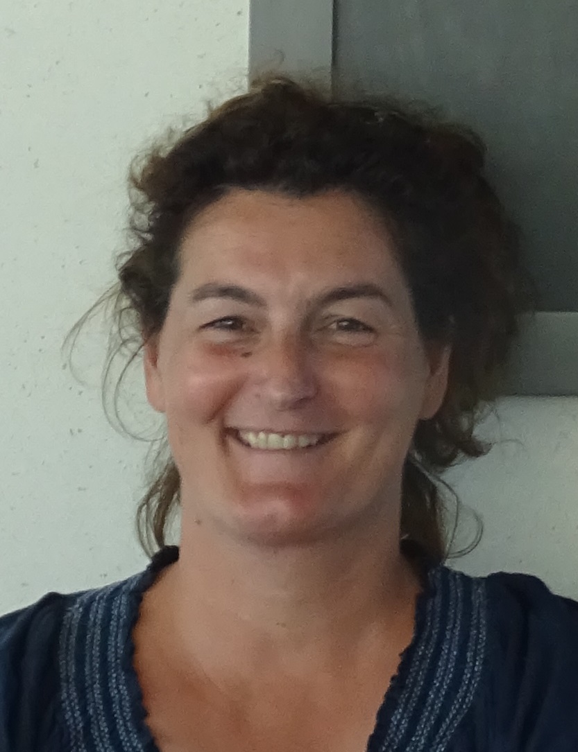
Marie-Dominique Van Damme
مدرس · Geographic Information Systems (GIS)
National School of Geographic Sciencesمعرفی
Marie-Dominique Van Damme is a Lecturer at the French National School of Geographic Sciences (ENSG), IGN's School of Geomatics, and is in charge of research and studies in the MEIG research team within the LASTIG research laboratory. She has been an IGN Teacher-Researcher at ENSG-Géomatique since August 2019, and from March 2025 will return to full research activities at LASTIG while continuing to teach programming with GIS, modeling, databases, and integration of heterogeneous data at ENSG.
Dr. Van Damme earned her Computer Engineering degree with an information systems option from the National Conservatory of Arts and Crafts in 2010. Her professional experience includes:
- August 2019 – present: IGN Teacher-Researcher at ENSG-Géomatique
- May 2012 – July 2019: Research engineer at LASTIG, MEIG team
- May 2005 – April 2012: Project Manager at the National Forest Inventory
- June 2000 – April 2005: Web developer at Risc Group
Her research focuses on semantic integration of heterogeneous geographic data, data matching, and the application of these techniques to mountain rescue scenarios. She has led and participated in several significant research projects including:
- CHOUCAS Project (ANR, 2017-2022): Multi-source semantic integration of landmark objects for mountain rescue
- LANDSENSE (H2020, 2016-2020): Crowd and community sourcing for land use monitoring
- UrCLIM (ERA4CS, 2017-2020): Retrieving land cover data for urban climate studies
- IntForOut (ANR, 2024-2027): Current project on trajectory analysis
Dr. Van Damme has developed several software tools to support her research, including Tracklib (a Python library for GPS trajectory manipulation) and MultiCriteriaMatching (a Java library for multi-criteria data matching based on Belief Theory).
Her recent publications show a strong focus on spatial data quality, landmark ontology development, mountain rescue applications, and the use of crowdsourced data for geographic information. The research trends indicate a progression from foundational work on data matching algorithms to applied research in emergency response scenarios, particularly mountain rescue operations.
She has supervised numerous students including PhD candidate Mathieu Mehdi ZRHAL (defended 2023), research engineers, and multiple internship students working on geospatial projects related to mountain rescue, data integration, and GIS development. She has also led the pedagogical responsibility for the first-year master's degree in geomatics at Gustave Eiffel University from August 2019 to March 2025.
Dr. Van Damme's work bridges theoretical research in geographic information science with practical applications in emergency response, demonstrating the real-world impact of geospatial technologies.
Marie-Dominique Van Damme در سایتهای دیگر
جستوجوهای مرتبط
شاید اینها هم برایتان مناسب باشند
 Ana-Maria Olteanu-RaimondNational School of Geographic Sciences · پژوهشگر
 Jacques GautierNational School of Geographic Sciences · استادیار
 Laurence JolivetNational School of Geographic Sciences · پژوهشگر
- BBénédicte BucherNational School of Geographic Sciences · پژوهشگر
 Sidonie ChristopheNational School of Geographic Sciences · عضو هیئت علمی
 Bruno ValletNational School of Geographic Sciences · پژوهشگر