
معرفی
Dr. Marcel Schwieder is a Researcher at the Thünen-Institut in Berlin, specializing in remote sensing applications for agricultural and environmental monitoring. His work focuses on developing methodologies for large-scale land cover mapping, grassland management assessment, and satellite time series analysis. Key projects include mapping grassland mowing events across Germany using Sentinel-2 and Landsat data, and creating annual land cover datasets for the Baltic Sea Region. He has contributed to advancing deep learning techniques for crop phenology analysis and agricultural field delineation.
His research integrates multi-sensor satellite data (optical and SAR) to address ecological and policy-relevant questions, such as biodiversity impacts of land management practices and climate change mitigation strategies. Collaborations include studies on woody habitats' influence on farmland birds and the quantification of climate protection measures through satellite-derived land use data.
Publications span topics like phenological modeling, habitat characterization, and vegetation mapping using hyperspectral and multispectral datasets. While no formal academic awards are listed, his impactful contributions to environmental remote sensing are evident through his prolific output and applied research projects.
Active in Germany and international contexts, Schwieder's work bridges technological innovation (e.g., vision transformers, sparse generalized dissimilarity modeling) with ecological applications, supporting both scientific understanding and policy implementation in sustainable land management.
Marcel Schwieder در سایتهای دیگر
جستوجوهای مرتبط
شاید اینها هم برایتان مناسب باشند
 Ann-Kathrin HoltgraveTechnical University of Berlin (TU Berlin) · پژوهشگر
 Dirk PflugmacherHumboldt University · پژوهشگر
 Patrick HostertHumboldt University · استاد
 Steffen BochUniversity of Bern · پژوهشگر
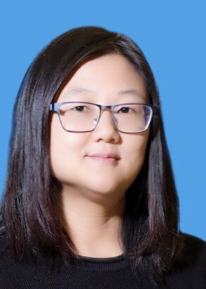 Yuhong HeUniversity of Toronto · استاد
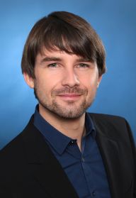 Maximilian LangeHelmholtz Centre for Environmental Research · پژوهشگر