معرفی
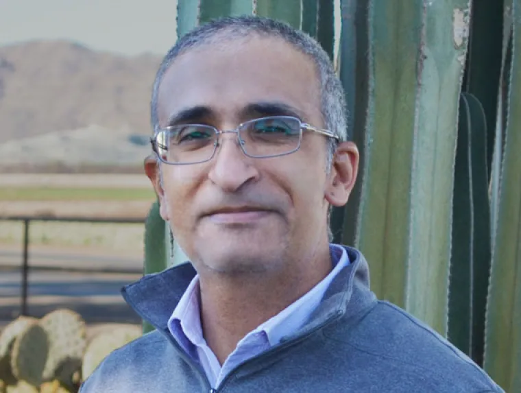
Kyle Hartfield is an Associate Professor of Practice in the Department of Natural Resources and the Environment at the University of Arizona. He also serves as the Director of Undergraduate Studies for the BSGIST and leads the Arizona Remote Sensing Lab. His expertise lies in integrating Remote Sensing and Geographic Information Systems (GIS) for multi-disciplinary environmental research.
Dr. Hartfield holds a M.A. (2010) and B.A. (2008) in Geography from the University of Arizona. His research focuses on vegetation dynamics, climate change impacts, and land-use analysis using advanced technologies like LiDAR, multispectral imaging, and drone data. Key projects include monitoring invasive species in the Gila River, assessing environmental changes in Ghana’s mining regions, and modeling snowpack dynamics in Arizona’s Mogollon Rim.
His teaching portfolio includes courses such as GEOG/GIST 330: Introduction to Remote Sensing and GIST 601B: Remote Sensing Science. His work bridges technical expertise with practical applications, emphasizing solutions for arid land management and urban sustainability challenges.
Dr. Hartfield’s research outputs span over a decade, with recent emphases on spatio-temporal dynamics in arid ecosystems, spectral index development for desert vegetation, and interdisciplinary water resource studies. His methodologies often involve multi-sensor data fusion and long-term environmental monitoring.
He currently oversees the Arizona Remote Sensing Lab, fostering collaboration between academia, government agencies, and NGOs to address environmental challenges like land degradation and urban water scarcity. No formal student advisees are listed in the provided materials.