معرفی
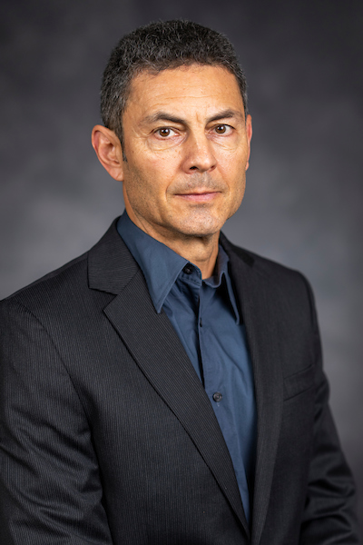
Hao Tang is an Assistant Professor in Geography at the National University of Singapore, specializing in satellite remote sensing for ecosystem monitoring. His research develops methodologies to map 3D vegetation structure and carbon dynamics using LiDAR and multispectral data, addressing climate change impacts on terrestrial ecosystems.
Research Focus: Dr. Tang's work integrates NASA's GEDI and ICESat-2 LiDAR missions with machine learning to quantify aboveground biomass across tropical forests. Recent innovations include multi-sensor frameworks for wildfire risk assessment in Europe and radiative transfer models simulating forest heterogeneity.
Publications from 2024-2025 demonstrate advances in biomass calibration techniques, LiDAR waveform simulation, and forest regrowth modeling under climate change. His research supports UN Sustainable Development Goals through high-resolution carbon stock inventories.
Dr. Tang teaches courses on remote sensing applications and GIS, emphasizing computational approaches for environmental challenges. Current projects focus on uncertainty reduction in deforestation emission baselines and peatland carbon storage capacity assessment.