معرفی
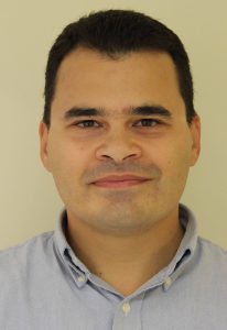
Dr. Elias Symeonakis is a Reader in Earth Observation and GIS at Manchester Metropolitan University, specializing in Remote Sensing of Land Degradation. His work integrates Earth Observation technologies, AI, and open data to inform policy and achieve UN Sustainable Development Goals. He holds a PhD in Geography (King’s College London) and has held academic roles since 2001, including postdoctoral fellowships at CSIRO and the University of Valencia.
Research & Impact: Focuses on land degradation in sub-Saharan Africa and Mediterranean regions. Projects include the EU-funded SAV-EO and PantEOn initiatives, and collaborations with UNDP on Lake Tanganyika sedimentation. His research informs policy at local and international levels, including contributions to UN meetings and intergovernmental reports.
Teaching & Supervision: Coordinates courses like 'Earth Observation & GI Technologies' and supervises 5 current PhD students. Recent completions include studies on glacial volcanic interactions and habitat modeling. Post-doc researchers include EU Marie Curie Fellows Dr. Eva Arnau-Rosalén and Dr. Christina Karakizi.
Awards & Grants: Recipient of Marie Curie and Leverhulme Fellowships, plus EU H2020 grants. His work has been featured in BBC and TRT World reports on wildfires, climate migration, and biodiversity.
Labs & Affiliations: Leads the Remote Sensing Research Group (www.remote-sensing-mmu.org). Active in global initiatives like the UN’s Land Degradation Neutrality framework. Office: E410a John Dalton Building; available Tues 1-3pm and Wed 1-2pm.