معرفی
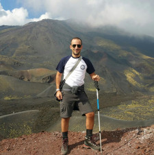
Dr. Daniele Cirillo is an academic affiliated with the DiSPUTer department at Ud'A University in Chieti Scalo, Italy. He specializes in structural geology and seismotectonics with a focus on fault systems, 3D geomodelling, and geohazard assessment. His research integrates fieldwork, remote sensing, and advanced software tools like ArcGIS and drone photogrammetry.
Education: Bachelor's (2006) and Master's (2009) in Geological Sciences from the University of Calabria, followed by a PhD in Structural Geology from the University of Chieti (2014). He completed postgraduate studies at Glasgow University (2010).
Research interests span tectono-stratigraphic evolution, seismogenic zoning, and active fault analysis in the Apennines and Calabrian regions. Notable projects include 3D fault modelling of the Crati Valley and seismic hazard assessments following the 2016 Central Italy earthquakes. He collaborates with institutions like CRUST (Interuniversity Center for 3D Seismotectonics) and has authored over 50 peer-reviewed papers.
Teaching includes courses on structural geology, digital mapping, and GIS. His work often combines field data with geophysical techniques to understand earthquake mechanisms and geological deformation processes.
Publications emphasize interdisciplinary approaches, blending geological mapping with advanced imaging technologies. Key contributions include UAV-based rockfall analysis and fault segmentation studies of major historical earthquakes.