معرفی
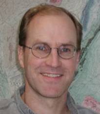
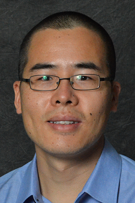
Bill Hammond is a Research Professor in the Nevada Geodetic Laboratory at the Nevada Bureau of Mines and Geology, part of the University of Nevada, Reno. He specializes in using space geodetic techniques like GPS and InSAR to study active Earth processes. His research focuses on crustal deformation, seismic hazards, mountain building, and geothermal resource dynamics. Dr. Hammond leads the MAGNET GPS network in the western Great Basin and has held significant roles in organizations including the NSF EarthScope Plate Boundary Observatory and the American Geophysical Union.
Education:
- Ph.D., Geophysics, University of Oregon (2000)
- B.A., Applied Mathematics, University of California, Berkeley (1989)
Research Interests:
His work integrates field measurements with computational models to understand tectonic and volcanic processes. Key areas include seismic cycle deformation, lithospheric dynamics, mantle flow, and the interplay between climate and surface deformation. Recent projects explore vertical land motion impacts on sea level rise and crustal uplift mechanisms in mountain belts.
Service & Grants:
Hammond has authored/co-authored ~90 publications and secured over 40 funded research projects. His service includes editorial roles at the Bulletin of the Seismological Society of America and membership on the National Academy of Sciences Board on Earth Science and Resources.
Labs & Networks:
He directs the Nevada Geodetic Laboratory, managing the MAGNET GPS network, a critical infrastructure for monitoring geodynamic processes and seismic hazards in the western U.S.