
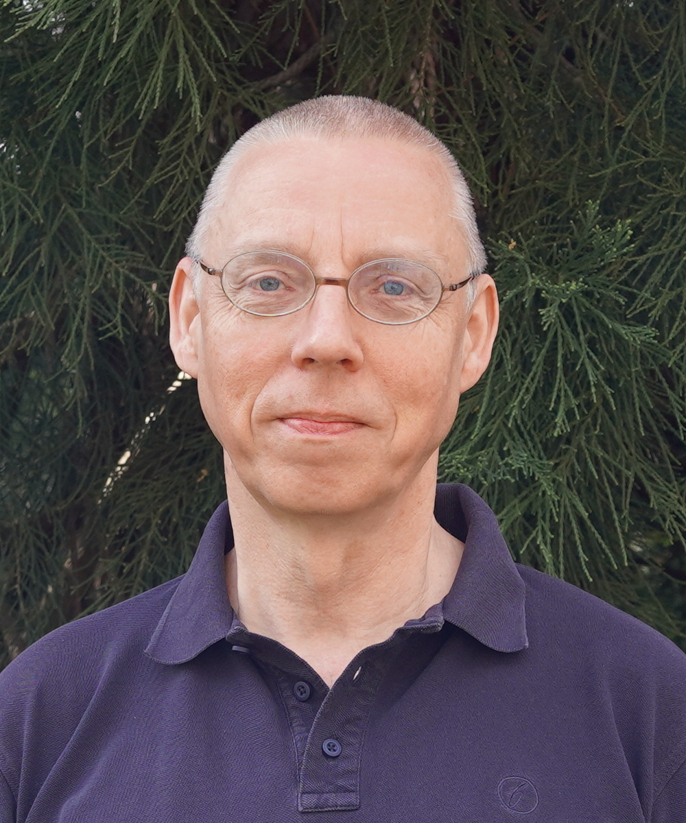
معرفی
Dr. Bernd Bobertz serves as a Geoinformatician at the Remote Sensing and Geoinformation Processing Group within the Institute of Geography and Geology at the University of Greifswald since 2015, bringing extensive expertise in geospatial data systems and research methodologies.
His research profile encompasses:
- Script-based operationalization of geodata processing workflows
- Geostatistical interpolation and classification techniques
- Interdisciplinary geodata exchange frameworks
- WebGIS implementation for historical cartography
Dr. Bobertz has contributed to major research initiatives including DYNAS I+II (Baltic Sea environmental monitoring), SVEA-Pomerania (coastal ecosystem studies), and FloraGREIF (digital botanical documentation), demonstrating his capacity to bridge technical implementation with domain-specific research requirements across environmental science disciplines.
His professional trajectory reflects deep integration within German geospatial research infrastructure, having previously served as Research Associate at the University's Cartography and GIS Chair (2008-2014) and the Leibniz Institute for Baltic Sea Research (1997-2007).
Bernd Bobertz در سایتهای دیگر
جستوجوهای مرتبط
شاید اینها هم برایتان مناسب باشند
 Vu Dong PhamUniversity of Greifswald · پژوهشگر
 Svitlana KuznichenkoUniversity of Greifswald · استاد
 Sebastian van der LindenUniversity of Greifswald · استاد
 Stefan NicolausJade University of Applied Sciences · پژوهشگر
- HHaik Thomas PoradaLeibniz Institute for Regional Geography · استاد
- MManfred MittlböckParis Lodron University of Salzburg · پژوهشگر