معرفی
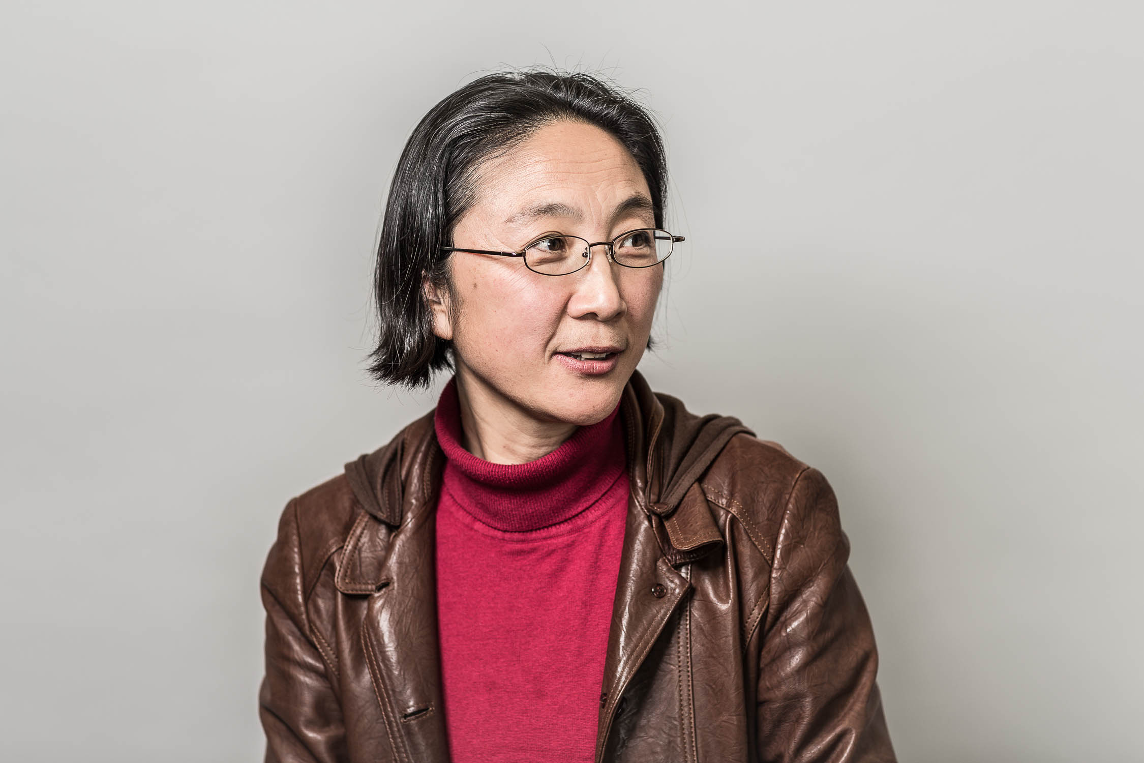
Dr. Baoxin Hu is a Professor in Geomatics Engineering at York University's ESSE department since 2003. She leads airborne LiDAR and hyperspectral missions, focusing on vegetation canopy characterization and wetland ecosystems. Her research integrates multi-source remote sensing data for environmental monitoring, including DEM generation and permafrost analysis. She directs the Earth Observation Laboratory located in Petrie Halls.
Education background includes prior visiting fellowships at the Canadian Space Agency. Research emphasizes algorithm development for 3D scene reconstruction, forest succession stage analysis, and EAB infestation detection. Key areas include spatial-temporal modeling, InSAR technology applications, and machine learning integration with geospatial data.
Publications span LiDAR-based methods (e.g., boundary adjustment algorithms, individual tree crown delineation) to multi-source data fusion for carbon modeling. Active in developing CNN frameworks for land cover classification and environmental impact assessments. Collaborates on projects involving RADARSAT-2 data and MODIS time-series analysis for northern Ontario ecosystems.