
معرفی
Dr. Alvand Miraliakbari serves as Acting Professor for Applied Geodesy at HTW Dresden's Faculty of Geoinformation, teaching core surveying modules across Geomatics, Civil Engineering, and Distance Learning programs. His academic role encompasses foundational instruction in geodetic methodologies and technologies for undergraduate and graduate students.
Research interests center on Geodesy, Surveying, Satellite Geodesy, Geomatics, and Geoinformation, with teaching content emphasizing practical applications in national surveying networks, satellite positioning systems, and terrestrial measurement techniques. These areas align with the faculty's focus on spatial data acquisition and analysis within geospatial sciences.
Instructional responsibilities include mandatory modules such as Surveying II (G646), National Surveying and Satellite Geodesy (G658), and Surveying Technology I/II (G825/G826), delivered across multiple semesters for programs including Geomatics (G60), Surveying Distance Learning (G61), and Civil Engineering (B11). His curriculum integrates traditional surveying practices with modern satellite-based geodetic systems.
حوزههای پژوهشی
Alvand Miraliakbari در سایتهای دیگر
جستوجوهای مرتبط
شاید اینها هم برایتان مناسب باشند
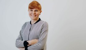 Anja HeßelbarthDresden University of Applied Sciences · استاد
 Renate RudatDresden University of Applied Sciences · مدرس
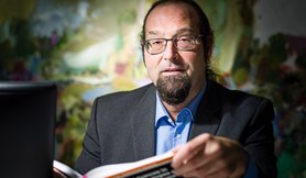 Tim PidunDresden University of Applied Sciences · استاد
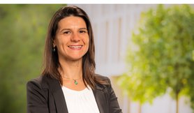 Rejane Rienaldi-MielitzDresden University of Applied Sciences · مدرس
- SStephan KopfDresden University of Applied Sciences · استاد
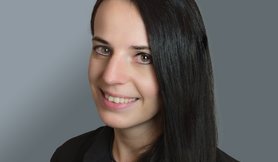 Melanie EliasDresden University of Applied Sciences · استاد