
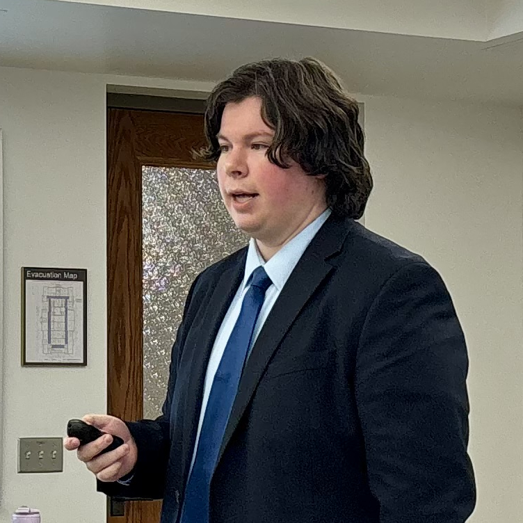
Alexander Michels
استادیار · Geospatial Information Science
University of Texas at Dallasمعرفی
Alexander Michels serves as an Assistant Professor in the School of Economic, Political and Policy Sciences at The University of Texas at Dallas, where he focuses on applying geospatial data science and cyberGIS to address societal challenges. His research bridges advanced computational methods with practical implementations to solve real-world problems in disaster management, public health, and spatial accessibility analysis.
Dr. Michels earned his PhD in Informatics and MS in Geography from the University of Illinois Urbana-Champaign in 2025 and 2024 respectively. His academic background combines spatial sciences with computational expertise, preparing him for interdisciplinary research at the intersection of geography, computer science, and data-intensive methods.
His research program spans two primary domains:
- Spatial Data Science: Developing novel algorithms, software frameworks, and theoretical foundations to advance spatial analysis capabilities for real-world problem solving
- CyberGIS: Leveraging high-performance computing and cyberinfrastructure to overcome computational barriers in geospatial research
Analysis of his publication trajectory reveals a strong emphasis on methodological innovation with immediate societal applications. Recent work demonstrates increasing sophistication in handling large-scale spatial problems, particularly through scalable algorithms for accessibility analysis and disaster vulnerability assessment. His research consistently addresses the challenge of making advanced geospatial computation accessible to domain scientists through open-source tools like the Vulnerable Neighborhood Explorer (VNE) and CyberGIS-Vis.
Dr. Michels maintains active engagement with the research community through multiple professional platforms including Google Scholar, GitHub, ResearchGate, and ORCID. He is currently accepting undergraduate and graduate students for research collaboration, indicating an expanding research program.
His professional activities include significant contributions to the CyberInfrastructure & Geospatial Information Laboratory (CIGI) and CyberGIS Center for Advanced Digital and Spatial Studies. His GitHub profile shows extensive collaboration with @cybergis and @I-GUIDE organizations, with 44 repositories and 32 starred projects reflecting his active role in geospatial open-source development. Notable projects include redesigning CyberGISX and CyberGIS-Jupyter for Water, and developing the WhereCOVID-19 Spatial Accessibility Explorer during the pandemic.
Alexander Michels در سایتهای دیگر
جستوجوهای مرتبط
شاید اینها هم برایتان مناسب باشند
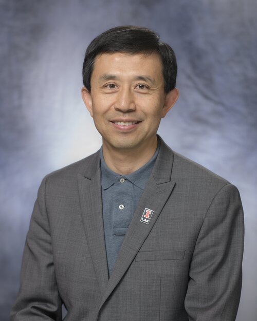 Shaowen WangUniversity of Illinois Urbana-Champaign · استاد
 Fangzheng LyuVirginia Polytechnic Institute and State University · استادیار
 Eric ShookUniversity of Minnesota Twin Cities · دانشیار
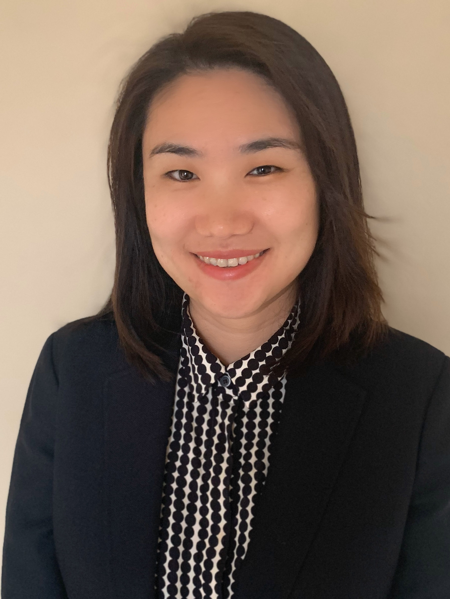 Zhe ZhangTexas A&M University · استادیار
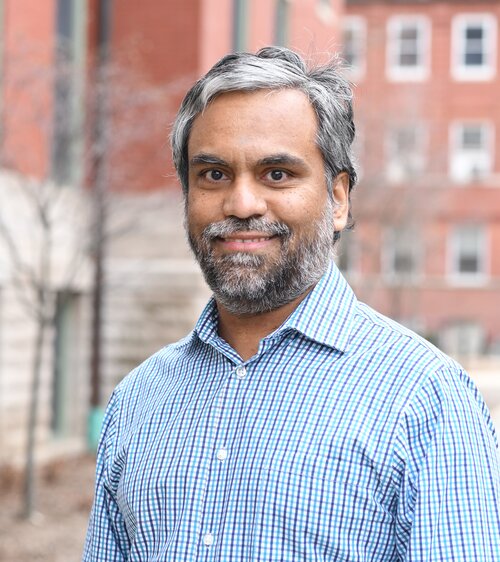 Anand PadmanabhanUniversity of Illinois Urbana-Champaign · عضو هیئت علمی
 Rebecca VandewalleUniversity of Illinois Urbana-Champaign · پژوهشگر