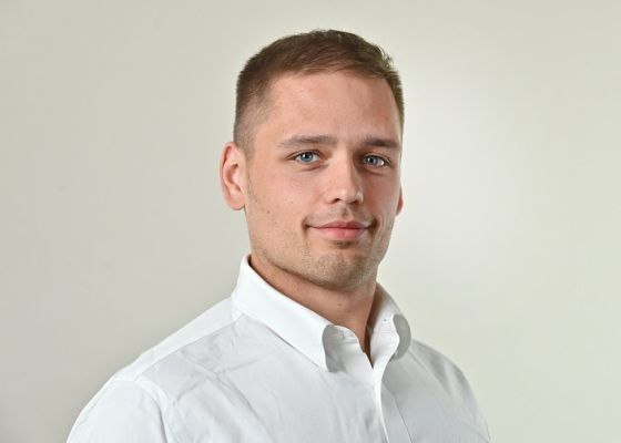
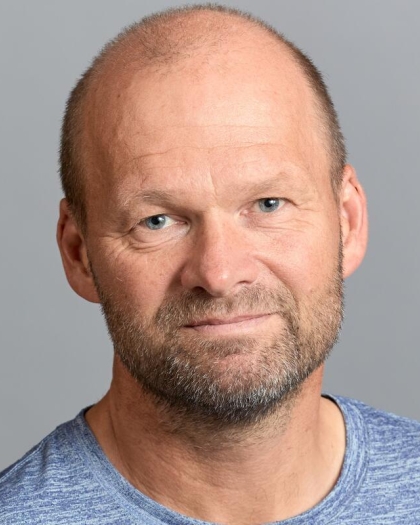
Thomas KalbacherView profile
Researcher
Dr. Thomas Kalbacher serves as Deputy Head of Department and Workgroup Leader of Hydroinformatics at the Department of Environmental Informatics, Helmholtz Centre for Environmental Research - UFZ in Leipzig, Germany. With extensive experience in environmental modeling and software development, he leads critical research initiatives focused on groundwater systems and environmental informatics. His research spans Earth Science - Hydrogeology and Computer Science - Simulator & Workflows, with particular emphasis on the development of OpenGeoSys (OGS) software and related analysis tools. Kalbacher's work addresses sustainable use and protection of natural groundwater systems, examining their quantitative and qualitative impact on surface waters. He investigates how digital twins and near real-world models can help tackle water management challenges in the face of climate change, with a focus on creating robust future projections to preserve landscape multifunctionality. Analysis of his recent publications reveals strong trends in hydrogeological modeling, spectral analysis of groundwater level fluctuations, and development of digital tools for environmental monitoring. His work increasingly focuses on large-scale modeling of groundwater systems, particularly in the Danube catchment area, while also advancing data infrastructure through projects like Digital Earth. A significant portion of his recent research examines methodological approaches to hydrologic modeling, particularly comparative assessments of Richards equation versus infiltration capacity approaches. As leader of the Hydroinformatics workgroup, Kalbacher plays a pivotal role in the OpenGeoSys open-source project, which has become a significant platform for computational hydrology and environmental modeling. His team develops software solutions for regional groundwater quantity modeling (LandTrans) in cooperation with the Research Software Engineering and Visualization group. The Hydroinformatics group under his leadership contributes to advancing environmental modeling capabilities through robust software development practices and integration of high-resolution observation data from modern monitoring stations and satellite observations.