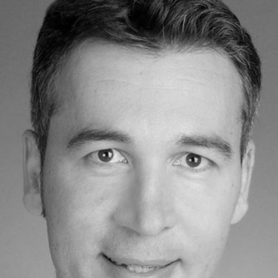
Anette EltnerView profile
Assistant Professor
Anette Eltner is a Junior Professor for Geosensor Systems at the Technical University of Dresden since 2021. Her work focuses on developing innovative methods for environmental monitoring using AI and remote sensing technologies. She leads research projects that aim to improve flood forecasting systems and monitor geomorphological changes through advanced imaging techniques. Her educational background includes: PhD in Geography from TU Dresden (2016), awarded by the German working group for geomorphology Diploma in Geography from TU Dresden (2010) with minors in Photogrammetry/Remote Sensing, Soil Science and Hydrology Professor Eltner's research spans multiple cutting-edge areas in geospatial technology and environmental science. She specializes in UAV photogrammetry and remote sensing, developing methods for precise geomorphological and hydrological monitoring. Her work integrates artificial intelligence with environmental sciences to create more accurate predictive models for natural processes. She focuses particularly on erosion processes in fragile landscapes and has pioneered techniques for spatio-temporal high resolution topography using laserscanning, structure-from-motion, and time-lapse imaging. Her innovative approach to image processing enables automatic feature detection and tracking in geographic applications, while her development of low-cost geosensor systems makes advanced monitoring accessible in resource-limited settings. Her publication record demonstrates consistent advancement from foundational photogrammetric techniques to sophisticated AI integration for real-time environmental assessment. The research shows increasing emphasis on practical flood warning applications and dynamic landscape monitoring, particularly for small waterways where traditional monitoring systems are lacking. Her notable scientific achievements include: PhD thesis award from the German working group for geomorphology (AK Geomorphologie) TUD Young Investigator status (recognizing excellent, independent junior research group leaders) Editorial board membership for Geoscientific Instrumentation, Methods and Data Systems and Photogrammetric Record Professor Eltner leads the "Artificial Intelligence for Flood Warning (KIWA)" project, evaluating camera-based water level monitoring systems along small tributaries of the Elbe River in Saxony. Her research group develops AI-supported methods to analyze water surface imagery and predict flood events in small waterways. She has secured funding for projects in Germany and internationally, including current work in Oman combining cameras and seismic sensors to monitor rare flood events in wadis. Her team is developing systems that allow sensors to communicate with each other for dynamic environmental monitoring. Her laboratory work focuses on developing cost-effective monitoring solutions using accessible technology like Raspberry Pi computers and standard cameras. She has demonstrated that these low-cost systems can effectively monitor significant landscape changes, making advanced environmental monitoring more widely available. Current projects involve creating 3D point cloud analysis methods that incorporate temporal components to better predict dynamic processes like soil erosion, rockfalls, and landslides.