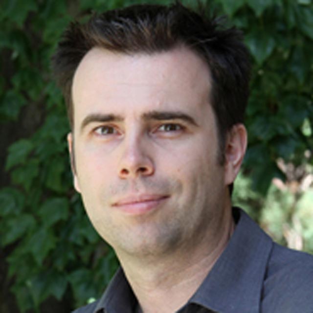
Manoochehr ShirzaeiView profile
Associate Professor
Manoochehr Shirzaei is an Associate Professor of Geophysics and Remote Sensing at Virginia Tech's Department of Geosciences (College of Science). His research focuses on satellite geodesy, inverse theory, and modeling techniques to understand crustal deformation processes, including seismic/aseismic faulting, anthropogenic hazards, groundwater dynamics, and sea-level rise impacts. He develops advanced InSAR and numerical modeling methods to quantify deformation mechanisms and mitigate natural hazards. Education: PhD (2010) in Potsdam University (Germany), M.S. (2003) in Geodesy from Tehran University, and B.A. (2001) in Surveying Engineering from Amir-Kabir University of Technology. His work bridges geophysical observations with theoretical models to address real-world challenges like subsidence, induced seismicity, and coastal vulnerability. Research Interests: Remote Sensing of Earth Deformation Induced Seismicity from Fluid Injection Subsidence Mitigation Strategies Climate-Driven Coastal Hazards Poroelastic Stress Modeling Recent Work Trends: His publications emphasize interdisciplinary approaches to quantify subsidence risks in US coastal regions, groundwater depletion impacts, and geothermal operations' seismic effects. He advocates for rigorous data integration and policy-relevant research through initiatives like the International Panel on Land Subsidence (IPLS). Labs/Teams: Leads the Earth and Atmospheric Dynamics Analysis Research (EADAR) Lab at Virginia Tech, focusing on innovative geodetic methods for environmental monitoring.