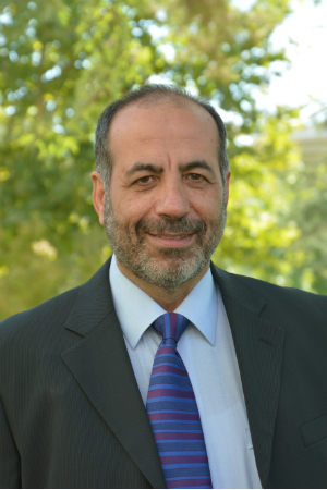
Riadh MunjyView profile
Professor
Riadh Munjy serves as a Professor in Geomatics Engineering at California State University, Fresno's Lyles College of Engineering, where he teaches core courses including CE 205 (Computing in Engineering Analysis), GME 123 (Stereo-Photogrammetry), and GME 125 (Analytical Photogrammetry). His academic foundation includes a Ph.D. in Civil Engineering (1982), M.S. in Applied Mathematics (1981), and M.S.C.E. (1979) from the University of Washington, complemented by a B.S. in Civil Engineering from the University of Baghdad (1976). Ph.D., Civil Engineering, University of Washington (1979-1982) M.S., Applied Mathematics, University of Washington (1980-1981) M.S.C.E., Civil Engineering, University of Washington (1978-1979) B.S., Civil Engineering, University of Baghdad (1972-1976) Professor Munjy's research centers on advancing photogrammetric methodologies with particular emphasis on Unmanned Aircraft Systems (UAS) mapping accuracy, sensor calibration, and novel processing techniques for LIDAR and IFSAR data. His work bridges theoretical mathematics with practical applications in transportation infrastructure, disaster response, and terrain modeling, consistently addressing industry pain points like rolling shutter effects in UAV imagery and LIDAR strip adjustment challenges. He has pioneered standards for GPS-controlled photogrammetry adopted by Caltrans and contributed foundational chapters to the ASPRS Manual of Photogrammetry. Analysis of his 15 most recent publications (2010-2020) reveals a strategic evolution from traditional photogrammetric techniques toward UAS-centric workflows, with increasing focus on automated processing, accuracy validation, and integration of multi-sensor data. His research consistently targets real-world implementation barriers in transportation mapping and corridor projects, demonstrating strong industry relevance through Caltrans collaborations and ASPRS leadership. American Society of Photogrammetry and Remote Sensing Fellow Award (2020) ASPRS Fairchild Award (2014) Caltrans Research Innovation Award (2004) Five School of Engineering Research Excellence Awards (1992, 1996, 1998, 2002, 2003) ASPRS Meritorious Service Awards (1992, 1997) Halliburton Research Award (1992) Professor Munjy's research program has been consistently supported through Caltrans-funded projects including GPS Photogrammetry (2005), UAS Research (2018), and corridor mapping standards development. His advisory impact extends through co-authoring the ASPRS Manual of Photogrammetry and mentoring numerous conference presentations, though formal student lists aren't documented. Current initiatives focus on sUAS data accuracy validation and rolling shutter effect mitigation, positioning his work at the forefront of evolving UAV mapping regulations.