L. OostwegelView profile
Researcher
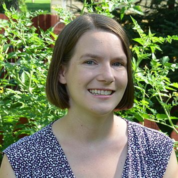
L. Oostwegel is a Researcher at GFZ German Research Centre for Geosciences, working within the Seismic Hazard and Risk Dynamics department. The researcher specializes in earthquake exposure modeling, building stock characterization, and multi-hazard risk assessment using geospatial data and open-source information. Oostwegel's research focuses on seismic hazard and risk assessment, with particular emphasis on building exposure modeling using OpenStreetMap and remote sensing data. Key research areas include earthquake risk modeling, flood risk assessment, landslide risk management, and the development of tools for multi-hazard risk assessment. The researcher has made significant contributions to understanding building stock characteristics at various scales, from individual buildings to global assessments. Analysis of recent publications reveals a strong focus on utilizing volunteered geographic information and Earth observation datasets for risk assessment. Oostwegel has developed methods for assessing the completeness of OpenStreetMap building data globally and has created tools like 'risk-calculator' for multi-hazard risk assessments. The research shows an interdisciplinary approach combining geophysics, geospatial analysis, and disaster risk reduction. Top-down or bottom-up in earthquake exposure modeling (2025) Safe Haven – Landslides: A Serious Game for Enhancing Risk Awareness (2025) A model of European buildings (2024) From Shelters to Skyscrapers: Worldwide Building Exploration (2024) Seismic loss assessment sensitivity study (2023) Oostwegel has collaborated extensively with researchers including Evaz Zadeh, T., Schorlemmer, D., and others across multiple projects focused on natural disaster risk assessment. The research has practical applications in urban planning, disaster risk reduction, and climate adaptation strategies, particularly for coastal megacities and areas prone to seismic activity.