
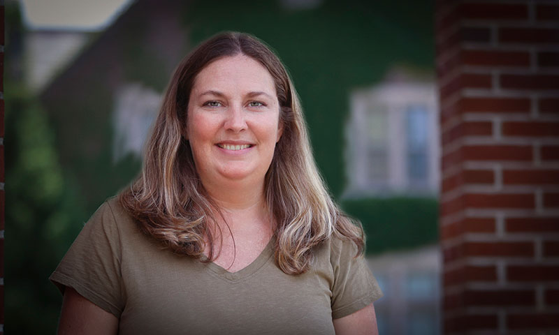
Kristen BrubakerView profile
Professor
Kristen Brubaker is a Professor of Environmental Studies and Chair of Environmental Science at Hobart and William Smith Colleges. She joined the faculty in 2012 and holds a PhD in Forest Resources from Penn State University (2011), an MS in Geosciences from Mississippi State University (2006), and a BS in Secondary Education from Penn State University (2003). Research Interests: Her research lies at the intersection of forestry, landscape ecology, and eco-hydrology, with a strong emphasis on using spatial data—particularly LiDAR—to understand ecosystem dynamics and human impacts. She investigates how terrain, soil, and water availability influence forest community structure and biomass distribution. Her work contributes to understanding ecosystem services such as biodiversity, carbon sequestration, and sustainable forest management. Publications Overview: Her recent publications reflect a consistent focus on remote sensing applications in ecology, forest structure analysis, and environmental monitoring. She frequently collaborates on interdisciplinary studies involving critical zone science, aquatic ecosystems, and land use impacts. Her research integrates advanced geospatial tools with field ecology to address pressing environmental questions. Scientific Contributions: Use of LiDAR for forest canopy and biomass estimation Analysis of post-agricultural forest recovery Integration of spatial data in biodiversity and conservation studies Environmental impact assessments of energy extraction Teaching and Service: She teaches courses such as Fundamentals of GIS, Environmental Science, Advanced GIS, and Environmental Statistics. As Chair of Environmental Science, she plays a key leadership role in shaping the academic direction of the program. She mentors students and collaborates widely across disciplines, contributing to the advancement of environmental science education and research. Laboratories and Research Teams: While specific lab names are not mentioned, her work involves spatial data analysis and remote sensing, likely conducted through the Environmental Studies and Geoscience programs at HWS, potentially involving student researchers and interdisciplinary collaborations.
