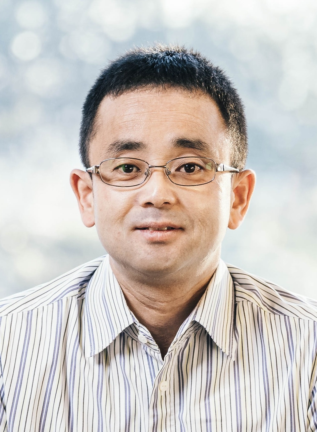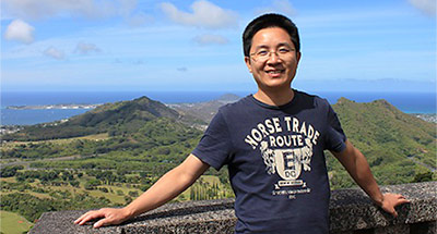
Qi ChenView profile
Professor
Qi Chen is a Professor in the Department of Geography at the University of Hawaii at Mānoa, specializing in remote sensing and geospatial technologies. His office is located in Saunders Hall, and he teaches undergraduate and graduate courses including GEO 370 (UAV and Aerial Photography), GEO 388 (Introduction to GIS), GEO 470 (Remote Sensing), GEO 489 (Applied GIS), and GEO 762 (Research Seminar: Remote Sensing. His research focuses on transforming earth observation data into actionable knowledge for environmental monitoring. Primary interests include: LiDAR applications for vegetation analysis and biomass estimation Climate change impacts on land cover and coastal systems Machine learning integration with geospatial data High-resolution mapping of agricultural and forest ecosystems Drone and satellite-based environmental assessment Chen's recent publications (2020-2025) demonstrate a strong focus on advancing remote sensing methodologies, particularly through: AI-driven approaches (GANs for vegetation indices, deep learning for marine debris) Multi-sensor fusion (LiDAR with camera systems, hyperspectral-multispectral integration) Novel applications in precision agriculture and infrastructure monitoring Hawaii-specific environmental studies incorporating indigenous knowledge systems He leads the Smart Remote Sensing Lab (smartremotesensing.org) where he mentors graduate students in developing cutting-edge geospatial solutions for ecological and societal challenges.