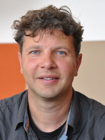
Dr. Erik Meijles serves as Director of Education and Associate Professor in Landscape Geography at the University of Groningen's Faculty of Spatial Sciences. He leads educational strategy and teaches courses on physical geography, landscapes, and environmental planning across multiple programs. His research focuses on landscape governance, climate change adaptation, and geopark management, with notable contributions to UNESCO Geopark De Hondsrug and Mexican climate policy studies. He actively participates in academic governance roles including the University's Education Committee and Student Wellbeing Steering Group, emphasizing interdisciplinary collaboration and pedagogical innovation. Research interests span historical hydrology, GIS applications in land-use analysis, and the interplay between cultural heritage and environmental sustainability. Recent work examines contested place meanings in protected areas and the integration of machine learning in geomorphological mapping. His affiliations include the Supervisory Board Landschapsbeheer Drenthe and the Scientific Committee of UNESCO Geopark De Hondsrug. Teaching spans undergraduate and graduate programs in human geography, spatial planning, and environmental science. Courses emphasize practical fieldwork and spatial analysis techniques. Administrative roles include chairing the Faculty Council and coordinating education quality initiatives, reflecting his commitment to shaping future generations of spatial scientists.
Claude Duguay is a Professor in the Department of Geography and Environmental Management at the University of Waterloo . He leads the Duguay Research Group, affiliated with the Water Institute and Waterloo Climate Institute. His research focuses on lake/land-atmosphere interactions in cold regions using remote sensing, machine learning, and numerical modeling. University : University of Waterloo Department : Geography and Environmental Management Affiliations : Water Institute, Waterloo Climate Institute His work spans climate science , hydrology , and remote sensing applications in cold environments. Recent publications highlight deep learning for ice dynamics, satellite data for lake variables, and atmospheric correction in pigment concentration studies. Contact : crduguay@uwaterloo.ca
Qi He is an Associate Professor at the College of Information Technology, Shanghai Ocean University, serving as a master's tutor and member of the Shanghai Branch of the Chinese Computer Society (CCF). Her academic career bridges computer science and marine applications through interdisciplinary research. Her educational background includes: Ph.D. in Computer Software and Theory from Fudan University Her research focuses on marine big data storage , workflow and business process management , service computing , and cloud computing . She pioneers applications of deep learning in ocean informatics, developing novel frameworks for sea surface temperature forecasting, coastal change detection, and ocean front analysis using multimodal data fusion and transformer architectures. Recent publications (2024-2025) reveal a consistent trend toward transformer-based models and ensemble networks for oceanographic time series prediction and remote sensing. Key contributions address subseasonal forecasting (10-30 day horizon), multiscale periodic pattern recognition, and multimodal entity extraction, demonstrating strong integration of computer vision with marine science challenges. As a master's tutor, she mentors graduate students in ocean informatics. Her active publication record in high-impact journals (including IEEE JSTARS and Applied Sciences) indicates sustained research funding in marine big data infrastructure and computational oceanography, though specific grant details aren't provided in source materials.
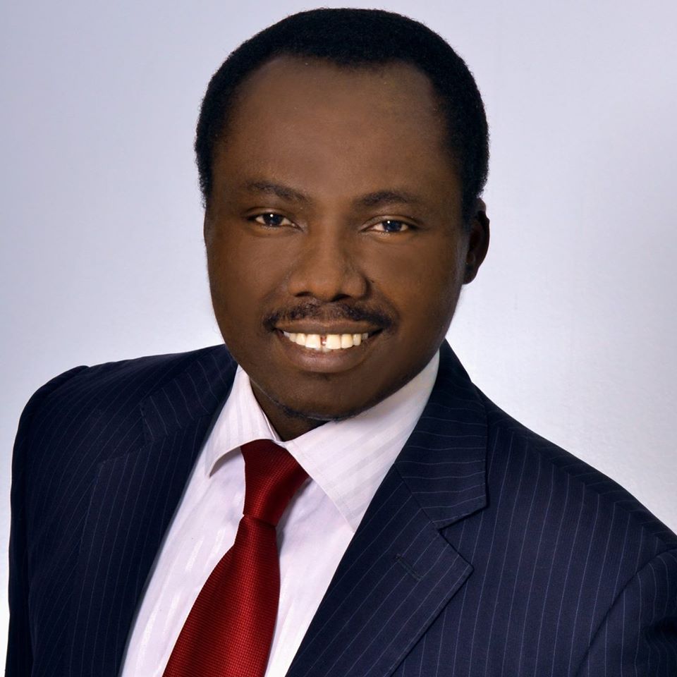
Kennedy Okioghene Doro is an Associate Professor in the Department of Environmental Sciences within the College of Natural Sciences and Mathematics at the University of Toledo. He holds a PhD in Applied Geosciences from the University of Tuebingen, Germany (2015), and previously earned M.Sc. and B.Sc. degrees from Delta State University. Dr. Doro has research, teaching, and industry experiences across more than 12 countries on three continents including Africa, Europe, and North America. His educational background includes: PhD in Applied Geosciences, University of Tuebingen, Germany (2015) M.Sc., Delta State University B.Sc., Delta State University Dr. Doro's research focuses on advancing the use of geophysical methods in combination with in-situ and hydrological technologies for improved characterization of shallow subsurface heterogeneities. His work at the Hydro- & Environmental Geophysics Lab (UToledo HEG-Lab) centers on investigating soil and hydrological processes, monitoring biogeochemical processes and contaminated sites, and examining engineering, archaeological and forensic sites. He employs a range of geophysical equipment including electrical resistivity, induced polarization, self-potential, electromagnetics, ground penetrating radar, gravity, magnetics and seismic measurement systems. His research spans multiple continents with significant work in Nigeria, particularly on bitumen seeps, oil contamination, and developing sustainable approaches for water resource management. Dr. Doro has published extensively on hydrogeophysics, with recent work focusing on wetlands, coastal flooding, aquifer modeling, and forensic applications of geophysical methods. His publications show a strong trend toward interdisciplinary research that combines geophysical techniques with environmental science, hydrology, and machine learning approaches. Dr. Doro has received recognition through various presentations and invited talks, including: "Data Driven Policies: A Challenge for Academics and Case for Soil and Water Resources in Nigeria" (Invited Lecture, 11th Annual Lecture of the School of Sciences, Federal University of Technology, Akure, Nigeria, 2018) "Static and transient targets imaging using geophysical methods: the 'knowledge-transfer' challenge" (Invited presentation at AGU 2018 Annual Fall Meeting) As an educator, Dr. Doro embraces a holistic and balanced approach to teaching environmental geoscience subjects, particularly Applied Geophysics, Hydrogeophysics, Hydrogeology and Contaminated Site Management. He emphasizes integrating experimental, qualitative and quantitative approaches with current research and industry examples. He has taught courses such as EEES 2100 - Fundamentals of Geology. Dr. Doro maintains active research collaborations across multiple institutions and has worked with colleagues including Richard H. Becker, Timothy G. Fisher, James M. Martin-Hayden, and Thomas B. Bridgeman. His research group is actively seeking graduate and undergraduate research students interested in hydro- and environmental geophysics.
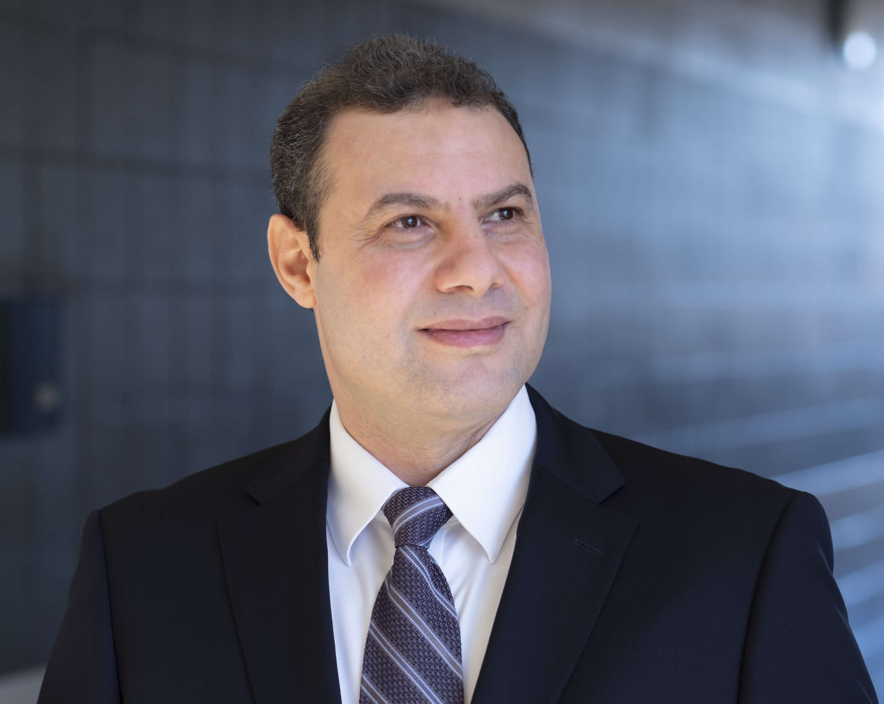
Reda Amer serves as Associate Professor in the Department of Computer Science at the University of Missouri–St. Louis (UMSL) within the College of Arts and Sciences, and directs the UMSL Geospatial Collaborative. His interdisciplinary work bridges computer science with environmental geoscience through advanced geospatial technologies. His academic credentials include: Ph.D. in Geophysics, Saint Louis University (2011) Graduate Certificate in Advanced Remote Sensing and GIS, Saint Louis University (2011) MS in Remote Sensing, Al-Azhar University, Cairo, Egypt (2005) BS in Geology, Al-Azhar University, Cairo, Egypt (2000) Dr. Amer's research centers on Remote Sensing, Geographic Information Science, and Climate Change adaptation, with emphasis on community resilience in vulnerable coastal regions. He develops computational methods for environmental monitoring, particularly using LiDAR and satellite data to model subsidence, flood risks, and land degradation. His work integrates machine learning with geospatial analysis to address pressing challenges in deltaic systems and arid environments. Analysis of his 2019-2025 publications reveals strong focus on Gulf Coast subsidence monitoring through LiDAR/InSAR fusion, expanding into machine learning-driven flood mapping and port resilience. His research spans environmental geoscience, disaster response, and sustainable resource management across coastal Louisiana, Texas, and arid regions including Egypt and the Arabian Shield. No scientific awards were documented in the provided materials. Information regarding student advising and research grants was not included in the source documentation. As Director of the UMSL Geospatial Collaborative, Dr. Amer leads interdisciplinary teams advancing geospatial research applications for environmental challenges, fostering partnerships across computer science, earth sciences, and civil engineering disciplines.
Jakob Juul Larsen is an Associate Professor in the Department of Electrical and Computer Engineering at Aarhus University, specializing in Signal Processing and Machine Learning for geophysical applications. His research focuses on developing advanced instrumentation and data processing techniques for groundwater resource characterization. His core research domains include: Signal Processing for geophysical instrumentation Machine Learning applications in geophysics Hydrogeophysics and groundwater mapping Surface Nuclear Magnetic Resonance (SNMR) methods Transient Electromagnetic (TEM) systems Deep learning for electromagnetic data interpretation Dr. Larsen leads multiple significant research initiatives: SuperTEM (2021-2024): Monitoring groundwater resources for sustainable exploitation Surface NMR with long excitation pulses (2021-2022) Flood and Drought – Tracking water in shallow subsurface (2019-2023) GIRem – Guided Injection Remediation (2018-2022) MapField – Field-scale nitrogen management (2018-2021) Abzu – Advanced surface NMR instrumentation (2016-2019) Faster SNMR measurements with new receiver technology (2016-2017) Controlling Sound Zones signal processing (2015-2018)
Dr. Ke Gao is an Associate Professor in the Department of Earth and Space Sciences at Southern University of Science and Technology (SUSTech) in Shenzhen, China. He joined SUSTech in 2019 after completing postdoctoral research at Los Alamos National Laboratory in the United States. Dr. Gao holds a Ph.D. in Rock Mechanics from the University of Toronto, which he obtained in 2017. His educational background includes: 2021–present: Associate Professor, Department of Earth and Space Sciences, Southern University of Science and Technology 2019–2020: Assistant Professor, Department of Earth and Space Sciences, Southern University of Science and Technology 2017–2019: Post Doc, Solid Earth Geophysics, Los Alamos National Laboratory, USA 2012–2017: Ph.D., Rock Mechanics and Rock Engineering, University of Toronto, Canada Dr. Gao's research primarily focuses on rock mechanics and fault mechanics, with particular emphasis on the development of multiphysics coupling models based on the combined finite-discrete element method (FDEM). His work investigates rock fracturing mechanisms, hydraulic fracturing, and the stick-slip characteristics in sheared granular faults. He has made significant contributions to tensor-based statistical methods for characterizing stress variability and heterogeneity in fractured rock masses. His research bridges computational mechanics with earthquake physics, creating innovative approaches to understanding fundamental geological processes. Analysis of Dr. Gao's recent publications reveals a strong focus on computational geomechanics and earthquake physics. His work consistently applies and advances the combined finite-discrete element method (FDEM) to solve complex rock mechanics problems. There's a clear progression from fundamental method development to applications in earthquake source mechanics and hydraulic fracturing. The integration of machine learning techniques with traditional computational methods represents an emerging trend in his recent work, particularly for predicting slip behavior in granular fault systems. Dr. Gao has received several notable recognitions: Best Paper Award at the 7th International Symposium on In Situ Rock Stress (2016) National Overseas High-level Talent Program (Youth) (2020) Shenzhen 'Peacock Plan' B Talents (2021) Dr. Gao serves as principal investigator for multiple research projects funded by prestigious organizations including the National Natural Science Foundation of China, Ministry of Science and Technology key research and development projects, Guangdong Province general projects, and Shenzhen City general projects. He actively mentors graduate students and postdoctoral researchers, recruiting candidates with backgrounds in solid geophysics, rock mechanics, geological engineering, computational mechanics, and related disciplines. His research group provides comprehensive training in both theoretical and experimental aspects of rock mechanics and earthquake physics. Dr. Gao is affiliated with several professional organizations including the American Rock Mechanics Association, American Geophysical Union, International Society for Rock Mechanics, Canadian Geotechnical Society, Society of American Seismology, and ASCE Engineering Mechanics Institute, reflecting the interdisciplinary nature of his work spanning rock mechanics, geophysics, and computational engineering.
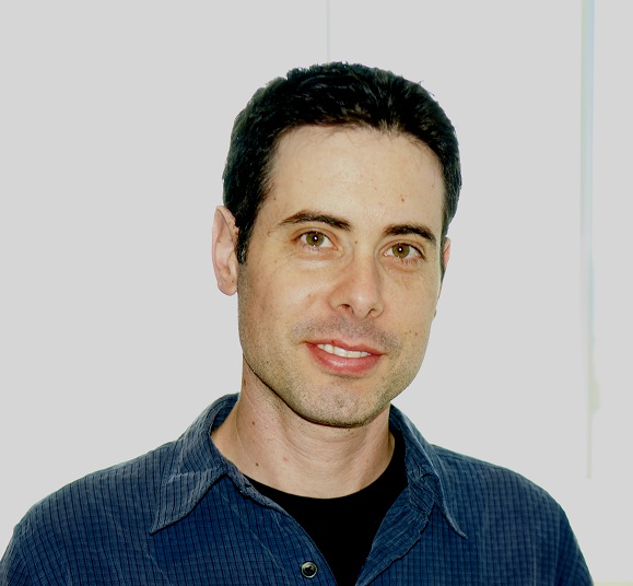
Eran Treister is an Assistant Professor at the Ben Gurion University of the Negev in the Department of Computer Science. He completed his postdoctoral fellowship at the University of British Columbia (2014-2016) and earned his PhD from the Technion in 2014 under Prof. Irad Yavneh. His research spans computational science, numerical methods, and machine learning, with a focus on: Scalable algorithms for inverse problems Graph Neural Networks (GNNs) optimization Seismic and optical imaging via PDE solvers Low-precision deep learning acceleration Multilevel preconditioning techniques Recent work explores: Graph neural networks for PDEs with adaptive meshes Deep learning approaches to Helmholtz equation modeling 3D shape reconstruction via parametric level sets He serves on editorial boards: SIAM Journal on Scientific Computing (2024-) Copper Mountain Conference on Multigrid Methods (2025) International Conference on Machine Learning (ICML) as Area Chair (2025) Current teaching: Optimization Methods for Data Science (Spring 2025) Deep Learning Mini-Project (Winter 2024/5) Advanced Numerical Optimization (Spring 2025)
David Richter is a Professor at the University of Notre Dame in the Department of Civil and Environmental Engineering and Earth Sciences , with a concurrent appointment in the Department of Aerospace and Mechanical Engineering . He serves as the Frank M. Freimann Collegiate Professor of Environmental Fluid Dynamics and leads the Richter Lab , focusing on multiphase turbulent processes in environmental systems. Education: Ph.D. in Mechanical Engineering, Stanford University (2011) M.S. in Mechanical Engineering, Stanford University (2011) B.S. in Mechanical Engineering, University of Massachusetts (2006) Appointments: 2025–Present: Professor, University of Notre Dame 2019–2025: Associate Professor, University of Notre Dame 2013–2019: Assistant Professor, University of Notre Dame 2011–2013: Postdoctoral Fellow, National Center for Atmospheric Research Richter’s research spans computational fluid dynamics , air-sea interactions , and geophysical flow modeling , addressing challenges in hurricane boundary layer dynamics , sediment transport , and cloud microphysics . His work employs direct numerical simulations (DNS) and large-eddy simulations (LES) , integrating physics-informed machine learning for predictive models. Recent projects include storm surge forecasting in Alaska and air-sea flux studies via NSF and ONR grants. Scientific contributions include 101 publications, with recent articles analyzing marine fog microphysics , tropical cyclone intensification , and microplastic transport . His 15 most recent articles (2021–2025) emphasize turbulent flow modeling , particle-laden systems , and environmental impact prediction . Awards: 2025: Frank M. Freimann Collegiate Professor 2021: Outstanding Teacher, University of Notre Dame Engineering Office of Naval Research Young Investigator Award Richter mentors graduate students in atmospheric and oceanic sciences , with lab alumni pursuing academic and industry roles. His collaborative projects extend to institutions like McGill University , University of Chile , and Michigan Tech .
Michael E. Mann is the Presidential Distinguished Professor in the Department of Earth and Environmental Science at the University of Pennsylvania, with a secondary appointment at the Annenberg School for Communication. He serves as Vice Provost for Climate Science, Policy, and Action and directs the Penn Center for Science, Sustainability, and the Media (PCSSM), while also being a faculty fellow at the Kleinman Center for Energy Policy. Education: BS in Physics and Applied Math (UC Berkeley), MS in Physics (Yale), PhD in Geology & Geophysics (Yale) His research focuses on the Earth’s climate system, particularly the science, impacts, and policy implications of human-caused climate change. He has pioneered studies on climate variability, tropical cyclones, and planetary wave dynamics using models like CLIMBER-2 and observational datasets. Mann’s recent work spans topics such as ocean warming, climate communication, and extreme weather events. His publications highlight trends in tropical cyclone activity, climate policy interventions, and the intersection of climate change with health risks. Scientific Awards: Hans Oeschger Medal (2012), Tyler Prize (2019), Leo Szilard Award (2021), Fellow of multiple scientific societies Key Contributions: Lead Author, IPCC Third Assessment Report (2001); Co-founder of RealClimate.org; Nobel Peace Prize contribution (2007) As a highly cited researcher and public science communicator, Mann bridges climate science with policy and media engagement. His affiliations include leadership roles at interdisciplinary centers focused on sustainability and climate solutions.
Riley Mulhern serves as an Assistant Professor in the Department of Environmental Studies within the College of Arts and Sciences at the University of Colorado Boulder. He is also a faculty fellow at INSTAAR (Institute of Arctic and Alpine Research), where he continues his research investigating environmental contamination and human health-related exposures through community-engaged approaches. Dr. Mulhern's research expertise spans water quality, risk assessment, data science, and environmental justice. His work centers on community engagement and data-intensive research, with field experience in North Carolina, Nicaragua, Guatemala, and the Bolivian Andes. He has developed innovative approaches using machine-learned Bayesian networks to predict environmental contamination risks, particularly focused on lead exposure in drinking water and PFAS contamination in private well systems. His recent publications demonstrate a strong focus on practical applications of environmental science to address real-world problems, with particular emphasis on vulnerable populations and environmental justice communities. His research has produced actionable insights for policymakers, community organizations, and public health officials working to improve water safety. Highly Cited Author award from RTI international (2021) Highly Published Author award from RTI international (2021) Dr. Mulhern earned his PhD in Environmental Sciences and Engineering from the University of North Carolina at Chapel Hill (2021), an MS in Environmental Engineering from CU Boulder (2016), and a BS in Physics: Geophysics and International Development from Wheaton College (2014). Previously, he served as the engineering and data science lead on Clean Water for U.S. Kids, a program testing and remediating lead-contaminated water at child care facilities in Georgia and North Carolina.
Paruyr Sergey Efendyan serves as Professor in the Department of Cartography and Geomorphology at Yerevan State University's Faculty of Geography and Geology since 2020, with prior institutional memberships at YSU (2021-2023) and Armenian National Agrarian University (2009-2023). His academic foundation includes a Certified Specialist degree in Urban Construction from Kiev Engineering and Construction Institute (1969-1974) and postgraduate studies in Applied Geodesy at Moscow Institute of Geodesy and Cartography (1982-1987), culminating in a 2016 Doctor of Science degree from Armenian National Agrarian University for research on Armenia's unified land information system. Professor Efendyan's research centers on Geodesy, Land Construction, and Cadastre, addressing critical challenges in spatial data infrastructure, land valuation methodologies, and geodetic applications for earthquake monitoring and agricultural land management. His work bridges historical land survey practices with modern technological solutions. His 2022-2025 publications reveal strong thematic cohesion around national spatial data infrastructure development, with recurring emphasis on AI integration, legal frameworks, cadastral revaluation, and satellite-based topographic mapping. Key trends include Python-based quality control systems for road data and anthropogenic impact analysis on soil composition. He actively participates in international forums including Geoforum-2023 (Ukraine), Environmental Protection conferences (Russia, 2022), and Land Management summits (Kyrgyzstan, 2021), demonstrating global engagement despite no explicitly listed scientific awards. Professor Efendyan advises students and manages research grants focused on Armenia's spatial data infrastructure modernization, particularly through Python-based quality control frameworks for road network datasets, though specific grant details remain unlisted in available materials.
Wolfgang Fritz Otto Dierking is a Professor in Earth Observation at the Department of Physics and Technology, UiT The Arctic University of Norway. His research focuses on remote sensing of polar regions, particularly sea ice dynamics, iceberg detection, and multi-frequency SAR applications. He works within the Earth Observation research group at Forskningsparken 3 E332.1, Tromso. Academic Rank: Professor (non-emeritus) Key Research Areas: SAR image analysis, sea ice classification, Arctic climate monitoring, and microwave scattering His recent publications emphasize: Development of CFAR algorithms for iceberg detection Multi-sensor data fusion (Sentinel-1/AMSR-2) Incidence angle effects on SAR texture features Integration of satellite and model-derived drift data Operational applications of polar remote sensing Arctic expedition data validation campaigns As an active researcher, he collaborates with institutions like CIRFA, NASA, and European polar research networks. His work supports climate data sets and operational Arctic marine safety applications.
Ajay Limaye is an Associate Professor in the Department of Environmental Sciences at the University of Virginia. He leads the Landscape Evolution Group, focusing on terrestrial and planetary surface processes across diverse environments from mountain canyons to Martian landscapes. Supported by NSF and NASA grants, his work combines laboratory experiments, numerical modeling, and field studies to unravel landscape evolution dynamics. Research spans Earth and planetary geomorphology Develops automated tools for river bend analysis Pioneers geologic time machine experiments in UVA's Landscape Evolution Laboratory Teaches advanced courses on geomorphology, planetary geology, and fundamental geology His work has been featured in leading journals like Journal of Geophysical Research Earth Surface and Geology , with recent publications covering braided river dynamics, landslide impacts on ecosystems, and planetary surface processes. The lab's centerpiece - a 7m x 3m experimental basin - enables controlled landscape evolution studies with precise water/sediment flux regulation. Scientific Awards Keck Institute for Space Studies Graduate Fellowship (2010) Limaye's interdisciplinary approach connects with UVA's Environmental Institute, where faculty across architecture, engineering, and data science collaborate on climate resilience solutions. His river sonification projects bridge science communication through auditory landscape representations.
Ben Abbott is a Lecturer in the Department of Engineering at St. Mary’s University, where he teaches courses such as Introduction to Engineering , Circuits and Systems , and Senior Design . He earned his Ph.D. and M.S. in Electrical Engineering from Vanderbilt University and a B.S. in Computer Science with an Electrical Engineering emphasis from Texas Tech. Education B.S., Texas Tech University, 1983 M.S., Vanderbilt University, 1989 Ph.D., Vanderbilt University, 1994 His research focuses on instrumentation and signal processing , real-time computing , model-based systems , and machine learning in cyber-physical contexts. His work spans sensor networks, flight test telemetry, and high-energy physics collaborations. Recent publications highlight his expertise in deep learning for localization , magnetic monopole detection , and telemetry network standards . His career includes two R&D 100 awards and contributions to the ATLAS detector experiments. Scientific Awards R&D 100 Award (2019) R&D 100 Award (2019)