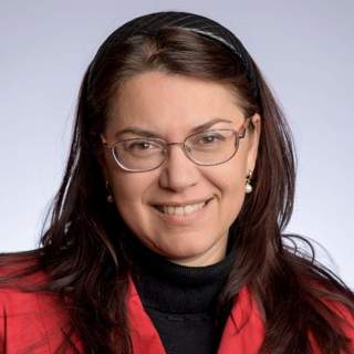
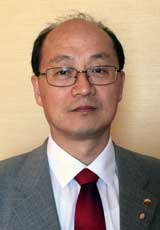
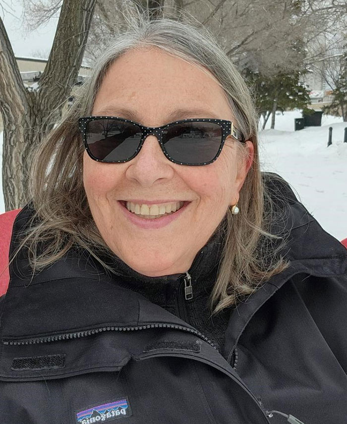
Mila N. Koeva is a Vice Dean Research and senior Associate Professor at the University of Twente's Faculty of Geo-Information Science and Earth Observation (ITC), Department of Urban and Regional Planning and Geo-Information Management. Her research focuses on 3D modeling and Digital Twins for land management and urban planning, integrating geospatial technologies, UAV data, and AI/ML methods. PhD in architectural photogrammetry MSc in Engineering (Geodesy) Research Themes: Digital Twinning for urban ecosystems AI-driven cadastral boundary extraction 3D modeling with LiDAR and satellite data Global partnerships in Rwanda, Kenya, and Ethiopia Interoperability standards for local digital twins Scientific Contributions: Geospatial World Innovation Award 2021 Copernicus Masters Competition (3rd place 2016) Editorial roles in Photogrammetric Records and MDPI journals Keynote speaker at 3D GeoInfo, GI Forum, and FIG events Her educational impact includes developing courses, lecturing, and supervising students whose work has received top awards in The Netherlands and international competitions.
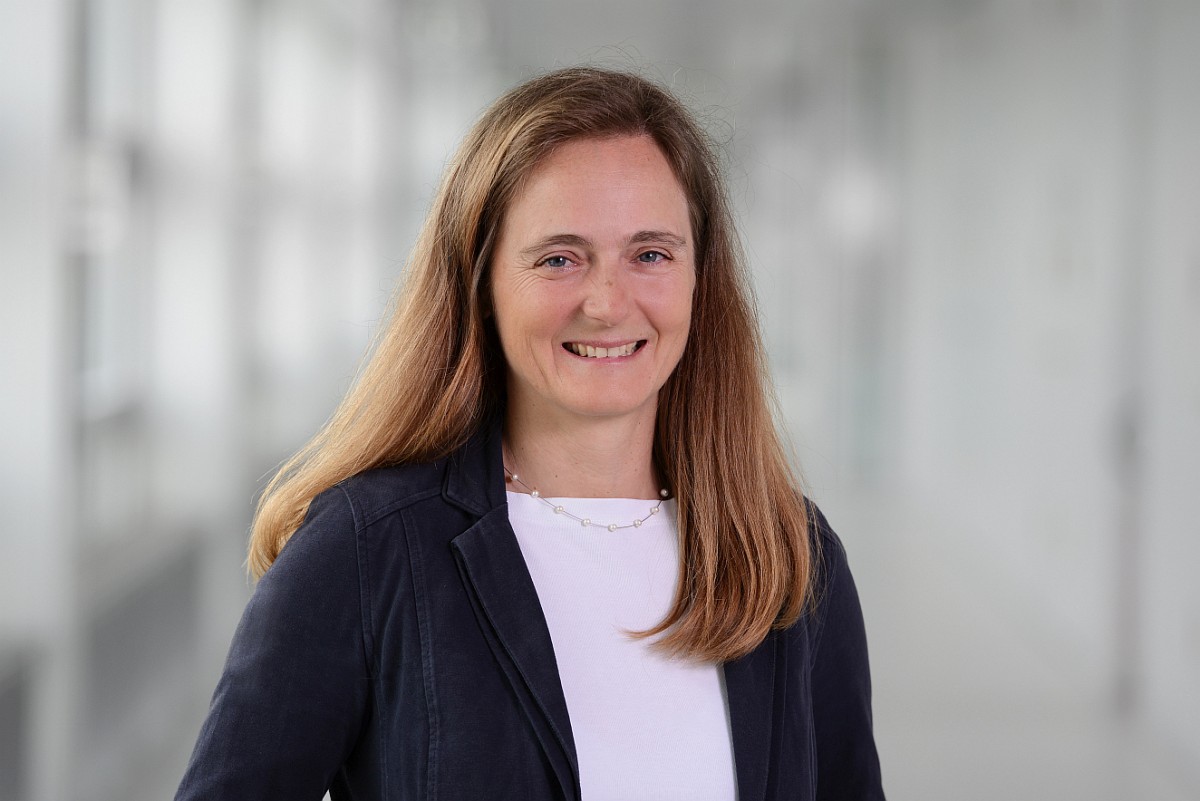
Prof. Dr. Irena Hajnsek is a Full Professor at the Department of Civil, Environmental and Geomatic Engineering at ETH Zurich. She heads the Polarimetric SAR Interferometry research group at the German Aerospace Center (DLR) and serves as Scientific Coordinator for the TanDEM-X satellite mission. Her work focuses on electromagnetic wave propagation, radar polarimetry, and SAR data processing for environmental monitoring. IEEE Fellow (2014) DLR Science Award (2014) Multiple Best Paper Awards (VDE EUSAR, IEEE GRSS) Co-chair IEEE IGARSS Technical Program (2012, 2019) Founder IEEE GRSS REACT Technical Committee (2021) Her research spans geophysical parameter estimation from SAR data, with applications in soil moisture monitoring, glacier ice analysis, and agricultural crop mapping. She serves as Associate Editor for the IEEE Journal of Selected Topics in Applied Earth Observations and Remote Sensing.
Ayman Habib is the Thomas A. Page Professor of Civil Engineering at Purdue University's College of Engineering. He serves as Co-Director of the Civil Engineering Center for Applications of UAS for a Sustainable Environment (CE-CAUSE) and Associate Director of the Joint Transportation Research Program. His work focuses on integrating remote sensing technologies like LiDAR and UAV systems into infrastructure monitoring, environmental management, and transportation engineering. Key areas include sensor calibration, mobile mapping systems, and applications in forest inventory, pavement maintenance, and stockpile monitoring. Research interests span remote sensing, geomatics, and UAV-based solutions for civil engineering challenges. He actively develops methodologies for automated data processing, LiDAR intensity normalization, and machine learning-driven infrastructure assessment. His projects address sustainability through precise environmental and transportation systems analysis. Selected publications highlight advancements in LiDAR-based road cracking detection, forest reconstruction via neural networks, and UAV calibration for agricultural and environmental applications. His work emphasizes scalable solutions for infrastructure maintenance and environmental monitoring, leveraging interdisciplinary approaches in civil engineering and computer science.
Antonia Teresa Spano is a Full Professor at the Department of Architecture and Design (DAD) of Politecnico di Torino, Italy. She serves as Vice Coordinator of the PhD Program in Architectural Heritage and is a member of the Future Urban Legacy Lab (FULL). Her research focuses on geomatics, 3D modeling, and digital documentation for cultural heritage preservation. University: Politecnico di Torino Department: Department of Architecture and Design (DAD) Spano's work integrates advanced geomatic techniques like LiDAR, UAV photogrammetry, and SLAM-based modeling to address challenges in architectural and archaeological heritage documentation. Her expertise spans GIS, digital photogrammetry, and machine learning applications in conservation processes. Her recent publications emphasize multi-sensor 3D surveys for Pier Luigi Nervi's structures, AI-driven decay detection, and semantic classification of LiDAR data. These works align with SDG goals for sustainable cities and quality education. Scientific Awards: Premio Giovani CNR (2005) Miglior Poster at GISTAM (2016) and GEORES (2019) Fellow of CIPA Heritage Documentation (2023-2033), CIRAAS ETS (2020-2030), and ISPRS (2017-2024) Spano supervises PhD students in architectural heritage programs and leads numerous research projects, including collaborations with institutions like the Pompeii Archaeological Park, CRAST, and international universities. She has contributed to editorial boards and program committees of journals and conferences such as Virtual Archaeology Review and ISPRS symposiums.
Dr. Craig Hancock is a Research Professor in Geospatial Engineering with 15 years of research experience in Surveying and Geodesy. His expertise spans GNSS error mitigation, structural monitoring, and geospatial techniques for digital construction. He has supervised 10 PhD students and published over 80 academic papers. Education: BSc and PhD in Surveying/Geomatics Key Projects: Principal Investigator for projects on GNSS error mitigation, structural health monitoring, and marine economy technology. His research focuses on three core areas: GNSS error categorization and mitigation (particularly ionospheric effects), structural and environmental change monitoring, and geospatial data acquisition for BIM and digital construction. Recent work includes improving 3D modeling accuracy, UAV-based GNSS spoofing detection, and BIM-enabled facility management in healthcare infrastructure. His articles explore topics like sensor optimization, structural dynamics, and geospatial data fusion. Grants include £150k for bridge deformation studies and £9k for ionospheric error analysis. He actively contributes to teaching and enterprise initiatives, integrating geospatial technologies with industry needs.
Karen Joyce is an Associate Professor at James Cook University (JCU) with expertise in remote sensing and environmental monitoring. She holds a PhD in Geographical Sciences from the University of Queensland (2005). Her work focuses on developing remote sensing tools for applications in marine, coastal, and savanna ecosystems. Notable contributions include advancing drone technology for coral reef mapping, mangrove phenology modeling, and disaster management integration. She co-founded She Maps, a social enterprise promoting women in STEM through drone education, and GeoNadir, emphasizing geospatial innovation. Education: PhD in Geographical Sciences (University of Queensland, 2005) Key Roles: Co-Founder of She Maps and GeoNadir Former Geomatic Engineering Officer in the Australian Army Her research interests center on optimizing remote sensing models to quantify Earth observation data, with applications in coral reef health, mangrove ecosystems, and invasive species management. Recent projects include She Flies Drone Camps to build STEM confidence in girls and hyperspectral drone technology for bathymetric mapping. Her publications emphasize drone-based data acquisition, spectral analysis for coral cover, and automated image processing using tools like Google Earth Engine. Despite no listed academic awards, her work has significant practical impact in conservation and disaster preparedness. Key grants include projects like 'Is satellite technology telling the truth? Perspectives from a coral reef' (2015–2017) and 'Developing hyperspectral drone technology' (2016–2017). She collaborates extensively with institutions like the Australian Army, New Zealand conservation agencies, and Kakadu National Park researchers.
Jonathan L. Goodall is a Professor of Civil and Environmental Engineering and Director of the Link Lab at the University of Virginia. His research focuses on hydroinformatics, urban hydrology, and flood modeling, leveraging data science and cyber-physical systems to enhance resilience in coastal urban environments. He leads efforts in reproducible environmental modeling through integration of platforms like HydroShare, emphasizing open science and computational workflows. His work includes advancing machine learning techniques for real-time flood forecasting, integrating IoT and sensor networks for smart city applications, and assessing climate change impacts on coastal communities. Notable contributions involve developing surrogate models for flood prediction in Norfolk, VA, and studying compound flooding effects using hydrodynamic modeling paired with crowdsourced data. Collaborations span universities, national labs, and agencies like CUAHSI, focusing on environmental data interoperability and infrastructure resilience. Goodall’s research often addresses socio-technical challenges in urban flood management, combining engineering solutions with community engagement strategies. His lab explores reinforcement learning for real-time stormwater control, IoT education initiatives, and geospatial tools for flood vulnerability analysis. Projects frequently involve interdisciplinary teams and emphasize reproducibility through containerized environments and metadata standards.
Prof. Hansjörg Kutterer is a Professor and Dean at the KIT-Department of Civil Engineering, Geo and Environmental Sciences at Karlsruhe Institute of Technology (KIT). His primary affiliation is with KIT's Department of Civil Engineering, Geo and Environmental Sciences. He leads geodetic research initiatives focusing on Earth observation systems, atmospheric modeling, and geophysical data analysis. His research emphasizes advanced applications of GNSS, InSAR, and satellite gravimetry for monitoring climate-related phenomena such as water vapor dynamics, terrestrial water storage changes, and ground motion patterns. Key projects include developing machine learning-enhanced models for tropospheric delay corrections and integrated water vapor estimation in the Upper Rhine Graben region. Prof. Kutterer actively contributes to international geodetic frameworks like the Global Geodetic Observing System (GGOS), particularly through DA-CH regional collaborations. His work bridges geodetic methodologies with interdisciplinary challenges in climate science and environmental engineering. He oversees departmental operations as Dean, fostering innovation in geospatial education and infrastructure. His technical expertise spans geodetic deformation analysis, statistical robust estimation, and the integration of geophysical models with observational data.
Dr. Yizi Chen is a Researcher affiliated with the Professorship for Cartography at ETH Zurich's Department of Civil, Environmental and Geomatic Engineering. Their work focuses on advancing cartographic techniques through AI-driven methods, historical map analysis, and geospatial technologies. Key contributions include automated map vectorization, semantic segmentation of historical maps, and integrating multimodal data for robotic systems. They have published extensively in top-tier journals and conferences, addressing challenges in deep learning applications for geomatic engineering. Education details are not explicitly provided in the text. Research interests include semantic segmentation, generative AI for cartography, and steganography in image translation. Notable publications span topics from eye-tracking segmentation to urban land use mapping, reflecting a strong interdisciplinary approach. Dr. Chen collaborates on projects involving historical map digitization and benchmarking datasets for computer vision tasks. No awards or grants are mentioned. Their work contributes to advancing geomatic engineering through innovative solutions in digital mapping and spatial data analysis.
Jim Chen is a Professor at the Department of Marine and Environmental Sciences and holds an affiliation with the College of Engineering's Civil and Environmental Engineering at Northeastern University. His research focuses on coastal engineering and science, emphasizing numerical modeling to address coastal resiliency and sustainability, particularly in the context of hurricanes and sea-level rise. Education details are not explicitly provided in the text, but his expertise includes advanced modeling techniques applied to coastal systems. His work integrates field observations with computational methods, such as deep learning and physics-informed neural networks, to analyze wave dynamics, sediment transport, and vegetation effects on coastal processes. Key research areas include hurricane impact analysis on wetlands and engineered infrastructure, living shoreline restoration effectiveness, and the morphological evolution of coastal systems. His studies often involve rapid deployment of sensors during storms (e.g., Hurricane Laura) to monitor wave, current, and sediment dynamics, contributing to disaster preparedness and mitigation strategies. Notable collaborations include projects with the Shinnecock Indian Nation, Gandys Beach (New Jersey), and Chesapeake Bay, focusing on sustainable coastal management. His work bridges engineering and environmental science to enhance coastal resilience in vulnerable regions.
Federica Sandrone is a Lecturer at the School of Architecture, Civil and Environmental Engineering (ENAC) at École Polytechnique Fédérale de Lausanne (EPFL), where she also serves as a Scientist at the Laboratory of Experimental Rock Mechanics (LEMR) within the Institute of Civil Engineering. Her academic career spans over 15 years with continuous contributions to tunnel engineering and rock mechanics research. Her research focuses on the intersection of rock mechanics and tunnel engineering, with particular expertise in tunnel pathology analysis, TBM performance in challenging geological conditions, and long-term tunnel behavior. Sandrone's work bridges theoretical analysis with practical engineering applications, addressing real-world problems in tunnel infrastructure management and maintenance. Her research methodology combines field investigations, laboratory testing, and numerical modeling to understand complex geomechanical behaviors. Analysis of her recent publications reveals a consistent focus on tunnel inspection methodologies, TBM performance prediction in difficult ground conditions, and the long-term behavior of tunnel structures. Her work has evolved from fundamental tunnel pathology studies to more advanced applications involving GIS integration, probabilistic modeling, and modern inspection techniques including laser scanning and image analysis. Engineer at SBB-Infrastructure (2008-present) responsible for Tunnels Management and Maintenance Assistant for Tunnel Engineering courses (2007-present) PhD supervision including Erika Paltrinieri's 2015 thesis on TBM performance Development of tunnel inspection methodologies and condition assessment procedures Her teaching activities include courses in Rock Mechanics and Underground Construction, where students learn about the mechanical behavior of rock materials, tunnel excavation and support design, planning and management of underground works, and risk assessment in tunnel construction.
Alper Yilmaz is Professor with appointments in Civil Environmental and Geodetic Engineering and Computer Science and Engineering (courtesy) Departments at The Ohio State University. He serves as Director of PCVLab and is currently interim president for the ISPRS Technical Commission II. Dr. Yilmaz has been inducted to the U.S. National Academy of Inventors in 2020 and is a Fellow of the American Society for Photogrammetry and Remote Sensing (ASPRS) and senior member of IEEE. Dr. Yilmaz's research focuses on biomimetic navigation systems for unmanned systems, mining anomalies in multi-physics and multi-dimensional data for surveillance, and learning geospatial information for scene understanding. His expertise spans Deep Learning, Reinforcement Learning, Computer Vision, Photogrammetry, Data-centric Surveillance, Collaborative Swarm Navigation, and Indoor Positioning Systems. His recent work on biomimetic navigation systems has resulted in UbiHere Inc., an Ohio State University spin-off founded in 2018. Dr. Yilmaz has served as Editor-In-Chief for the Photogrammetric Engineering and Remote Sensing Journal (PE&RS) between 2016-2024, during which the journal's impact factor increased to its highest since 1934. He previously served as Associate Editor for Computer Vision and Image Understanding Journal (2014-2016) and Machine Vision and Applications Journal (2006-2011). Outstanding Service Award (2022, ASPRS) Innovator of Year (2020, OSU) Presidential citation (2019, ASPRS) Masao Horiba Award honorable mention (2016, Japan) Lumley Interdisciplinary Research Award (2015, OSU) Lumley Research Award (2012, OSU) Top 1% most cited researcher in Artificial Intelligence & Image Processing and Geological & Geomatics Engineering (2024) Dr. Yilmaz has advised 29 Ph.D. and 15 M.Sc. students to completion on topics ranging from photogrammetry, machine learning, and computer vision. His research has received over $13M in extramural funding from NASA, NSF, DOD, DOE, NIH, and industry partners including Ford Motor Company, Trimble Inc., and UbiHere Inc. PCVLab, located in Bolz Hall Suite 233, features a sensor calibration room, state-of-the-art workstations with GPUs for deep learning studies, and small robotic systems including ground and aerial units.
Dr. Yun Zhang is a Professor and Canada Research Chair in the Department of Geodesy and Geomatics Engineering at the University of New Brunswick. He holds a PhD from the Free University of Berlin and has pioneered research in remote sensing, image processing, and computer vision since 2000. His patented technologies are licensed to global companies including PCI Geomatics and DigitalGlobe. Research Focus: Optical/radar image processing, digital photogrammetry, AI applications in geomatics, and sensor fusion for UAV systems. His work enables advanced geospatial analysis across environmental, urban, and defense sectors. Distinctions: First Giuseppe Inghilleri Award (ISPRS 2012) NSERC Synergy Innovation Award from Governor General of Canada (2011) ASPRS Talbert Abrams Grand Award (2005) Featured in CFI 20th Anniversary Book for breakthrough innovations Technology Impact: Solutions deployed by NASA, USGS, Google Earth, and DND Canada across five continents. Recognized among top 9 Canadian research achievements in AUTM's global case studies alongside MIT and Stanford innovations.
Dr. Hung Cao is an Assistant Professor of Computer Science at the University of New Brunswick, where he directs the Analytics Everywhere Lab. His work focuses on interdisciplinary research in Cyber-Physical Systems (CPS), IoT, Edge/Fog/Cloud Computing, and Explainable AI, addressing societal challenges through data-driven solutions. Prior roles include PostDoc Fellow and Data Scientist at the People in Motion Lab, UNB, and Lecturer/Researcher at Vietnam National University. He holds a Ph.D. in Geomatics Engineering (specializing in Data Science) from UNB (2020), an M.Sc. in Computer Science from University College Dublin (2015), and a B.Eng. from Vietnam National University (2011). Research interests span Smart Cities, Embedded AI, TinyML, Federated Learning, and Real-time Systems. He has led projects with Cisco, NB Power, and other industry partners to develop scalable analytics frameworks for IoT applications. Dr. Cao actively contributes to technical communities (IEEE Smart City, Edge Computing, etc.), serving as a reviewer for journals and conferences, and a Topic Editor for Electronics Journal . His innovations include the Analytics Everywhere framework for spatio-temporal data analysis, MACeIP platform for smart cities, and energy-efficient IoT systems for environmental monitoring. Current work emphasizes human-centered AI for healthcare diagnostics and industrial inspection systems.
Joni Storie is an Associate Professor in the Geography Faculty at the University of Winnipeg. She holds an office in Lockhart Hall (5L05) and teaches courses including Mapping in a Global World, Intro Remote Sensing, Advanced GIS, and Advanced Remote Sensing. Her research focuses on land-use/land-cover mapping, map automation with machine learning tools, spatial statistics, and terrestrial/aquatic resource management. Teaching expertise spans Regional & Physical Geography, Resource Conservation & Management, and Geomatics (GIS & Remote Sensing). Her work integrates geospatial technologies with environmental challenges, including flood mitigation, mangrove ecosystem analysis, and food environment patterning in urban areas. Research outputs emphasize remote sensing applications in coastal conservation, surface water detection, and vegetation dynamics. Over 13 peer-reviewed articles since 2004 demonstrate sustained academic contributions to geomatics and environmental geography. Current activities include advising on geomatics projects and contributing to the University of Winnipeg’s Geography program infrastructure.