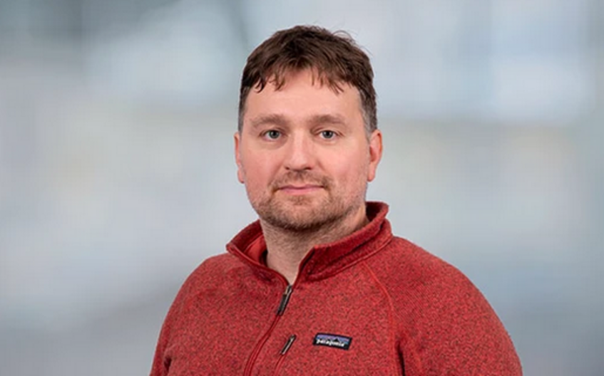
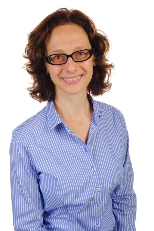
Rizwan Bulbul is a researcher at the Institute of Geodesy , Graz University of Technology (TU Graz), Austria. His work bridges geodesy, geographic information systems (GIS), and computational modeling. Research Interests : Bulbul's research focuses on geospatial modeling, artificial intelligence integration, and sustainable urban development. Key areas include smart tourism simulations, energy transition policy analysis, and off-road robotic navigation using machine learning. His work also addresses forest fire prediction uncertainty, vertical photovoltaic potential, and cattle tracking in alpine environments. Publications : His research spans spatial optimization, 3D city modeling, and semantic routing. Recent projects involve leveraging AI for tourism simulations and energy policy evaluation, demonstrating interdisciplinary applications of geospatial technologies. Contact : Email: bulbul@tugraz.at Office: TU Graz, Steyrergasse 30/I, Room ST01122
Omid Reza Abbasi is a Research Fellow in Geoinformatics at the University of Salzburg , specializing in the integration of Artificial Intelligence, Machine Learning, and Geographic Information Systems (GIS) to address complex spatial challenges. His work spans diverse domains including spatio-temporal modeling, human mobility prediction, and semantic similarity measures in geospatial contexts. Projects : Collaborated on 'RegioWoodTrain,' a project focusing on sustainable regional wood transport through cooperative supply chain management using simulation and AI technologies. Research Interests : Omid's research emphasizes the application of AI and GIS in urban planning, transportation systems, and social media analysis. Key areas include: Large Language Models (LLMs) for geographical representation Semantic similarity assessment in geospatial data Human mobility pattern prediction using social networks Accessibility in WebGIS via audio interfaces Recommender systems for tourism and retail Spatio-temporal analysis of public services and environmental impacts Publications : His recent work explores the use of LLMs in GIS, novel semantic similarity metrics, and spatio-temporal modeling for urban governance. Articles from 2018-2025 highlight trends in AI-driven spatial analysis, collective mobility prediction, and georeferencing of semi-structured data. Contact : Email: omidreza.abbasi@plus.ac.at
Harald Urban is an Assistant Professor at TU Wien's Faculty of Architecture and Planning, affiliated with the Research Area Digital Construction Process. His work focuses on advancing digital transformation in construction through BIM standardization, augmented reality applications, and regulatory process optimization. He co-leads the BRISE-Vienna initiative, aiming to digitize building permit processes using openBIM frameworks. Key research areas include automated compliance checking via BIM models, AR-driven construction inspection tools, and digitalization of administrative procedures. His contributions span academic publications, training manuals like the BIMcert series, and collaborative projects with public authorities to implement cutting-edge digital workflows. Urban's recent projects emphasize sustainability through digital methods, including carbon footprint reduction strategies and lifecycle analysis integration. He actively participates in international standardization efforts for openBIM and AR applications, ensuring alignment between technological innovation and regulatory requirements. Notable achievements include developing AR-based inspection systems for technical equipment validation and pioneering model-based procedures for building approvals. His work bridges academic research with practical industry needs, fostering efficiency and transparency in construction processes.
Manfred Mittlböck is a Senior Scientist in Geoinformatics at Paris Lodron University Salzburg (PLUS), actively contributing to research and development projects in geospatial technologies. His work spans multiple domains including geospatial data management, 3D cartography, glacier monitoring, and geoportal development, with numerous publications and projects extending through 2025. Dr. Mittlböck's research interests focus on Geoinformatics applications , particularly in geospatial data infrastructure , 3D indoor cartography , and glacier monitoring systems . His work demonstrates strong integration of theoretical geospatial concepts with practical implementations across various environments from university campuses to alpine regions and Central Asia. His recent publications indicate a growing interest in 5G technology applications in geoinformatics , metadata standards implementation , and integration of geospatial data into 3D virtual environments . These works reflect both technical innovation and practical application in real-world contexts. Among his notable projects are: GSP4CA: Geospatial sharing platform for Central Asia (2025-2026) SpaceSUITE: SPACE downstream Skills development (2024-2027) CAportal: Central Asia Geoportal (2024-2025) Indoor Cartography project (2024) GDI NPVBGD 2023+: Geoinformation strategy for Berchtesgaden National Park (2023-2024) Dr. Mittlböck also contributes to glaciological monitoring efforts in the Upper Stubachtal region of the Hohe Tauern mountains, with research featured in media coverage about accelerating glacier retreat. His work bridges academic research with practical applications in environmental monitoring, spatial data infrastructure, and educational initiatives.
Gerald Hiebel is a Research Associate at the Institute of Archaeology, University of Innsbruck. Since 2018, he has led and contributed to multiple projects including Information Integration for Prehistoric Mining Archaeology , Text Mining Medieval Mining Texts , and Virtual Exhibition in All Dimensions . His work is funded by institutions like the Austrian Science Fund (FWF), Austrian Academy of Sciences (ÖAW), and the European Union. Current Projects : Virtual Exhibition in All Dimensions (Project Management), Inventaria (Principal Investigator), Text Mining Medieval Mining Texts (Principal Investigator) Research Interests : GIS, Ontological Data Models, Semantic Integration, Archaeological Information Modeling Recent Publications focus on spatiotemporal extensions of CIDOC-CRM, FAIR data principles for mining archaeology, and semantic modeling of excavation data. He has developed knowledge graphs connecting cultural resources with spatiotemporal places and contributed to standards like CRMgeo and CRMarchaeo. Scientific Awards : Marie Curie Fellowship, Erwin Schrödinger Fellowship Collaborations : University of Southern California, ICS-FORTH, European Association of Archaeologists
Matthias Kempe is an Assistant Professor of Data Analytics in Sports at the University of Vienna, where he holds a tenure track position in the Department of Sport and Human Movement Science within the Centre for Sport Science and University Sports. He is also a member of the PI Panel/Supervisors for the Vienna Doctoral School of Pharmaceutical, Nutritional and Sport Sciences (VDS PhaNuSpo). Dr. Kempe received his PhD in Sport Science from the German Sport University Cologne, specifically from the Faculty of Exercise Training and Sport Informatics, and previously served as an Assistant Professor at the University of Groningen. His office is located at Auf der Schmelz 6a (USZ II), Room 4.24, 1150 Wien. His primary research focuses on performance optimization in sports through advanced data analytics and machine learning applications. Dr. Kempe has established significant collaborations with various sports federations across multiple countries, particularly in Handball, Ice-Skating, Tennis, and Football, resulting in several publicly funded projects implementing analytic tools directly into sports practice. He also maintains strong industry connections with data analytics companies and regularly mentors hackathon participants. Analysis of his publication portfolio reveals a strong emphasis on football/soccer analytics, biomechanics, and practical applications of machine learning in sports contexts. His recent work demonstrates expertise in developing standardized data formats (Common Data Format for Football), analyzing defensive tactics, and exploring how data-driven approaches can enhance athlete development and performance understanding. Specializes in tracking data analysis and machine learning applications in sports Focuses on practical implementation of research findings in real-world sports environments Active contributor to sports informatics standards development Dr. Kempe teaches courses including StEOP 1 - Einführung in die Sport- und Bewegungswissenschaft, BA3I - Bachelorarbeit, and MOD.1.IV - Angewandte Biomechanik und Sportinformatik im Breiten- und Spitzensport for the winter term 2025, and various Sportinformatik und Statistik courses for the summer term 2025. He supervises PhD students including Tom Höltke and contributes to doctoral education through the VDS PhaNuSpo program.
Barbara Schernthanner-Hofer is an Associate Professor at the Department of Geoinformatics (Z_GIS) at the University of Salzburg. She is an Associated Faculty member of the Doctoral College GIScience and serves on the Editorial Board of the AGIT – Journal for Applied Geoinformatics . Her research focuses on Interoperability and Spatial Data Infrastructures, Web-based Geoprocessing, and Digital Earth. Teaching: Co-supervised PhD students: Christian Neuwirth (completed May 2016) and Alfred Wieser. Current courses include Geovisualization and Advanced Cartography , SDI Services Implementation , and Spatial Statistics in the Master's program in Applied Geoinformatics. Past courses include Geodata Acquisition , Thematic Cartography and Geovisualization , and Ontologies and Semantics . Research and Editorial Roles: Serves on the Editorial Board of the AGIT – Journal for Applied Geoinformatics . Labs/Teams: Active within the Department of Geoinformatics (Z_GIS).
Dominik Hagmann is a researcher at the University of Vienna’s Faculty of Life Sciences, Department of Evolutionary Anthropology. His work bridges Roman archaeology, digital humanities, and bioarchaeology, focusing on rural settlement patterns, landscape analysis, and public engagement through citizen science. Expertise in digital archaeology and GIS applications Active in interdisciplinary studies combining bioarchaeology and spatial analysis Prominent projects in Northern Noricum and Tuscany His research integrates 3D documentation, experimental archaeology, and open science initiatives. Recent publications highlight machine learning in settlement modeling, gender studies in Roman cemeteries, and FAIR data principles for archaeological dissemination. Notable recognition includes the Mobility Fellowship (2019). His work aligns with UN Sustainable Development Goals, particularly in heritage preservation and digital inclusion.
Michael Barber is a Scientist specializing in Innovation and Industrial Dynamics, with research spanning R&D collaboration networks, intellectual property, and spatial interaction modeling. He actively contributes to European research initiatives such as the EUPRO project, focusing on project-based collaboration databases and policy analysis. Research Interests: His work emphasizes: Innovation ecosystems and industrial R&D patterns Quantitative analysis of spatial interactions and network communities FAIR metadata standards for research data interoperability European policy frameworks for intellectual property protection Recent publications highlight trends in European collaborative research, intellectual property law, and sustainable energy data management, using advanced statistical and network analysis techniques. No information is available regarding lab affiliations, supervised students, or scientific awards.