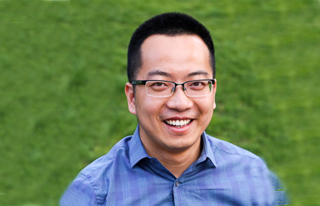
Dr. Jiangxiao Qiu is an Associate Professor of Landscape Ecology at the University of Florida's School of Forest, Fisheries, and Geomatics Sciences, based at the Fort Lauderdale Research and Education Center. His research integrates landscape ecology, ecosystem services, and sustainability science to address global environmental challenges. He employs interdisciplinary approaches including computational modeling, remote sensing, and field experiments to study human-nature interactions across scales. Research Focus: Dr. Qiu investigates how climate change, land-use intensification, and biological invasions alter ecosystems and biodiversity. Key themes include: Landscape sustainability science and social-ecological systems Ecosystem service tradeoffs in agricultural and urban landscapes Global change impacts on biodiversity-ecosystem function relationships Development of geospatial tools for environmental decision-making Recent publications (2024-2025) demonstrate strong emphasis on: Urban ecosystem services and greenspace multifunctionality Post-disturbance forest recovery using remote sensing Soil nutrient dynamics in managed grasslands Integration of cultural ecosystem services in landscape planning Scalable frameworks for biomass and biodiversity monitoring Dr. Qiu actively recruits graduate students through his Landscape Ecology and Sustainability Science Lab, focusing on transformative solutions for conservation and policy challenges. Current research explores urban-rural sustainability linkages, phosphorus cycling in subtropical systems, and climate-resilient landscape design.
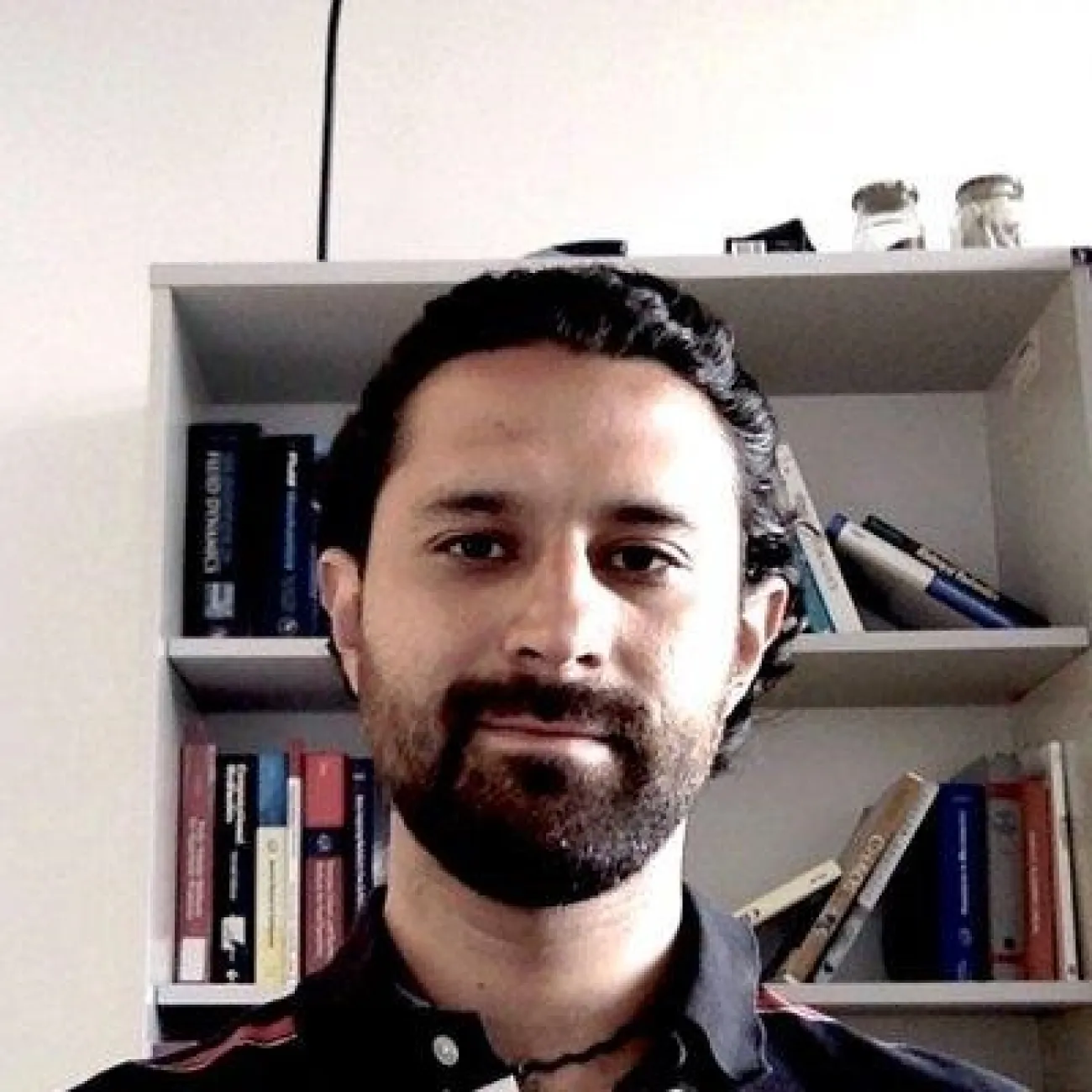
Dr. Luke Bergmann is an Associate Professor in the Department of Geography at the University of British Columbia . He holds a Canada Research Chair in GIS, Geospatial Big Data and Digital Geohumanities , reflecting his interdisciplinary focus on geographic computation, social justice, and environmental health. His work bridges theoretical and applied domains, including agroecology , disease ecology , and digital geographies . Education: PhD in Geography (University of Minnesota, 2012) MA in Geography (University of Minnesota) BS in Physics (Duke University) His research interests span relational geographic computation, sociospatial theory, and the intersection of technology with ecological and social systems. Recent work explores climate change impacts on vector-borne diseases , industrial agricultural environments , and critical GIS pedagogy. He has pioneered methods for non-Euclidean spatial analysis and speculative cartography . Scientific Awards: Canada Research Chair in GIS, Geospatial Big Data and Digital Geohumanities Publications highlight his engagement with global challenges: Ensemble distribution modeling for malaria and dengue vectors, spatial cluster analysis in pediatric IBD, and critical examinations of land use narratives in pandemic emergence. His lab/studio fosters collaborative research in geospatial methodologies and their social applications.
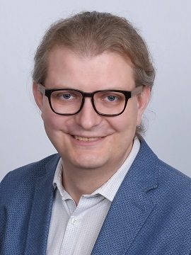
Dr. Darius Popovas is a researcher at the Institute for Applied Photogrammetry and Geoinformatics (IAPG), Jade University of Applied Sciences, Oldenburg, Germany. He is a member of the Laboratory for Optical 3D Metrology, contributing to advancements in photogrammetry and 3D scanning technologies since 2020. His research focuses on photogrammetry , 3D metrology , and virtual simulation , with specific interests in developing laser scanner simulators for digital twin environments, educational applications, and robotic missions. His work integrates computer vision, geomatics, and educational technology to create innovative simulation tools that bridge theoretical research with practical industrial and academic implementations. Between 2020 and 2024, Popovas co-authored six publications demonstrating a progression from foundational simulator development to applications in dynamic scanning and geodetic network planning for robots. This trajectory highlights increasing complexity in virtual scanning technologies, with recent work emphasizing real-time processing, sensor simulation, and integration into digital twin frameworks for industrial and educational contexts. He is a key contributor to the DAAD-funded project "Virtual laser scanner simulator for digitizing the teaching environment" (2019-2024), which develops software for generating simulated 3D point cloud data to enhance teaching methodologies in photogrammetry and geoinformatics through virtual laboratories and digital training resources. Within the IAPG, Popovas collaborates in the Laboratory for Optical 3D Metrology under Prof. Dr. Thomas Luhmann, working alongside a multidisciplinary team including Dr. Maria Chizhova and Dr. Denys Gorkovchuk. The laboratory actively organizes the Oldenburg 3D Days conference series, serving as a platform for disseminating research in optical metrology and fostering industry-academia partnerships.
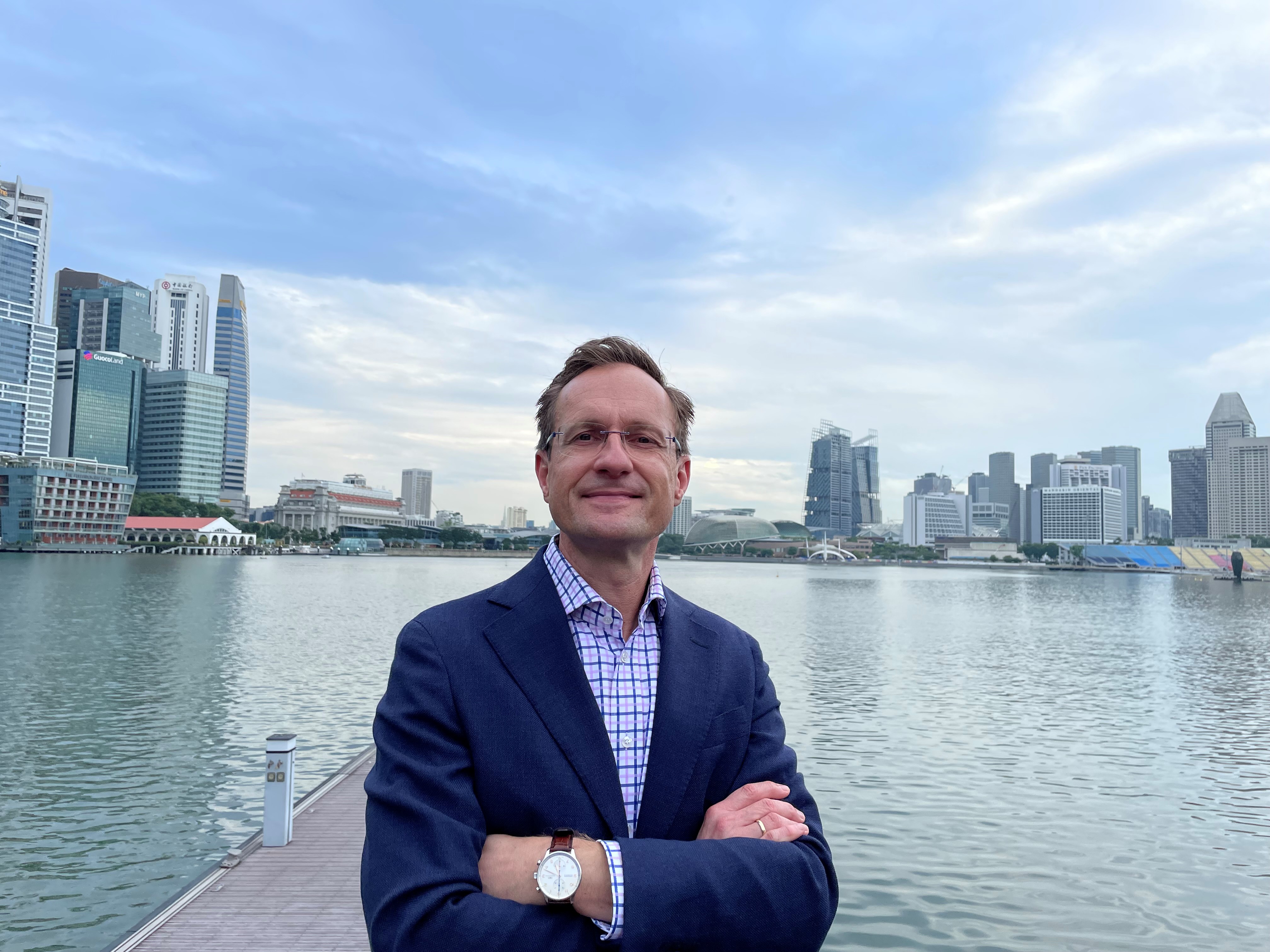
Prof. Dr. Martin Raubal is a Full Professor at the Institute for Cartography and Geoinformation, Department of Civil, Environmental and Geomatic Engineering, ETH Zurich. He leads research on spatial decision-making, mobile GIS, and location-based services, with applications in transportation, energy, and aviation. His work integrates cognitive engineering and eye-tracking to analyze human mobility and interaction with geospatial systems. Doctorate in Geoinformation (with distinction), Vienna University of Technology (2001) MS in Spatial Information Science and Engineering, University of Maine (1997) Dipl.-Ing. in Surveying Engineering and Geoinformation, Vienna University of Technology (1998) His research focuses on spatiotemporal human mobility, cognitive models for GIS, and sustainable urban systems. Key projects include the Digital Underground initiative at the Singapore-ETH Centre and the Empirical Use and Impact Analysis of Mobility-as-a-Service (EIM). Awards include the UV-Helava Prize and multiple best paper recognitions. Recent publications emphasize 3D spatial analysis, AI-driven geospatial tools, and causal inference in mobility modeling. Collaborations span institutions like Lufthansa Systems, SBB, and ETH-IVT. His lab investigates applications such as electric vehicle charging networks, bikeability indexes, and augmented reality in transportation planning.
Dr Sergio Maldonado is a researcher at the University of Southampton 's Faculty of Engineering and Physical Sciences , specializing in Environmental Fluid Mechanics and Hydraulics . He leads modules including Environmental Hydraulics and Flood Modelling and Mitigation while supervising PhD students in topics spanning sediment transport, coastal morphodynamics, and fluid-algae interactions. Education: PhD (Environmental Fluid Mechanics, University of Edinburgh), MSc (Hydraulic Engineering, UNAM), BSc (Mechanical Engineering, Tecnológico de Monterrey) Research Focus: His work addresses fundamental aspects of environmental hydraulics, with applications in: Sediment transport mechanics in open channels Coastal and river morphodynamics Fluid dynamics of algae systems Machine Learning for computational hydraulics Experimental fluid mechanics innovations Recent Publications demonstrate expertise in morphodynamic simulations, temperature measurement techniques, and physics-informed neural networks for shallow water equations. He actively supervises PhD students and contributes to interdisciplinary coastal risk reduction research.
Dr. Chandi Witharana is an Assistant Professor in the Department of Natural Resources and the Environment at the University of Connecticut's College of Agriculture, Health, and Natural Resources. Previously, they served as Assistant Professor in Residence (2020-2023), Assistant Research Professor (2018-2020), and Visiting Assistant Professor (2016-2018) at UConn. Their academic journey includes a Postdoctoral Research Fellowship at SUNY Stony Brook (2014-2016) and graduate work at UConn where they earned their PhD in Remote Sensing in 2014. Dr. Witharana teaches courses in high-resolution remote sensing, geospatial analysis, and introductory geomatics. Dr. Witharana's educational background includes: PhD in Remote Sensing, University of Connecticut (2014) MS in GIScience, University of Connecticut (2009) BS in Geology, University of Peradeniya, Sri Lanka (2005) Dr. Witharana's research focuses on methodological developments for analyzing large volumes of multi-modal remote sensing data for environmental, industrial, and agricultural applications, with special emphasis on Arctic Permafrost remote sensing. They harness sub-meter resolution satellite imagery, AI, and high-performance computing resources to map permafrost landforms, monitor thaw disturbances, and assess risks to human-built infrastructure in the Arctic. Their work extends beyond research to include innovative applications of remote sensing in K-12 STEM education through imagery-enabled lesson plans. Dr. Witharana aims to use cutting-edge geospatial technologies as transformative learning instruments to help students understand complex human-environment interactions. The recent publications of Dr. Witharana demonstrate a strong focus on applying advanced AI and remote sensing techniques to Arctic permafrost monitoring and infrastructure risk assessment. Their work increasingly incorporates vision transformers and deep learning models for more accurate detection of permafrost features and unhealthy tree crowns. There's a clear trend toward developing scalable geospatial datasets with standardized approaches, particularly for retrogressive thaw slumps. Many publications address practical applications including power outage risk modeling, forest management for storm resistance, and infrastructure monitoring in changing Arctic landscapes. The research shows growing interdisciplinary collaboration across environmental science, computer science, and engineering domains. Dr. Witharana has secured significant research funding as PI or Co-PI on numerous grants totaling over $14 million, including: NSF's Permafrost Discovery Gateway project ($3,000,000) Google-funded research on tracking Arctic permafrost thaw ($5,000,000) NSF's role of capillaries in the Arctic hydrologic system ($2,000,000) USDA projects on drone imaging for nutrient deficiency detection ($200,000) Eversource Energy projects on tree risk modeling ($275,000) As an educator, Dr. Witharana mentors students through research projects funded by these grants and teaches specialized courses in remote sensing and geospatial analysis. They serve as Director of the Remote Sensing & Geospatial Data Analytics Graduate Program and as a Steering Committee Member for UConn's Data Science Masters Program. Dr. Witharana is also an Editorial Advisory Board Member for the ISPRS Journal of Photogrammetry and Remote Sensing and regularly reviews proposals for NSF and other agencies. Their research group leverages high-performance computing resources including Frontera/NSF and XSEDE allocations for large-scale geospatial analysis. Dr. Witharana leads research teams focused on Arctic permafrost monitoring and geospatial AI applications, collaborating with institutions including University of Alaska-Fairbanks, Woodwell Climate Research Center, and UC Santa Barbara. Their work involves developing advanced workflows for processing satellite imagery and implementing machine learning models for environmental monitoring. The research group actively engages in developing educational applications of remote sensing technology, particularly for K-12 STEM education.
Mathieu Brédif is a Permanent Researcher at LASTIG, Gustave Eiffel University, affiliated with the National School of Geographic Sciences (ENSG) and IGN. He serves as co-chair of ISPRS Working Group II/3 on Point Cloud Processing (2016-2020) and chaired ISPRS Working Group III/5 on Graphics and Remote Sensing (2012-2016). His academic appointments include Assistant Professor at École Polytechnique teaching Image Analysis and Computer Vision (INF573) and 3D Computer Graphics (INF443) since 2019-2020. Telecom ParisTech PhD (2005-2010) Stanford University Master in Computer Science (2004) École Polytechnique Engineering Degree (2000-2005) Brédif's research focuses on Lidar processing, 3D reconstruction, and geovisualization , with significant contributions to point cloud analysis, urban scene modeling, and historical image integration. His work bridges computer vision, photogrammetry, and geographic information systems, emphasizing practical applications in urban planning and cultural heritage. He has developed novel algorithms for point cloud inpainting, visibility estimation, and distributed 3D reconstruction. His publications reveal consistent focus on urban modeling through point cloud processing (58% of works), image-based rendering techniques (22%), and geovisualization systems (15%). The research trajectory shows increasing emphasis on deep learning applications for LiDAR data since 2016, alongside continued development of geometric algorithms for photogrammetric processing. ANR project leadership in geospatial data valorization (structurAtion et vaLorisation du patrimoinE géoGraphique - 9) iSpace&Time 4D web GIS development (5) European project participation in high-volume point cloud analysis (8) Brédif actively mentors doctoral candidates, currently supervising Melvin Hersent, Alexane Nghien, and Florent Geniet, with 8 completed PhDs including Pierre Biasutti and Murat Yirci. His laboratory work centers on the GEOVIS research team , developing the iTowns open-source framework for 3D geospatial visualization, which powers the Géoportail's 3D data engine and supports multiple ANR projects in cultural heritage visualization.
Maarten Bassier is an Assistant Professor (tenure track) at KU Leuven, affiliated with the Department of Civil Engineering within the Faculty of Engineering Technology. He is based at the Geomatics unit operating at the Ghent and Aalst Campuses. His academic profile combines research, teaching, and institutional service, with significant contributions to the field of digital construction technologies. As senior academic staff, he serves on both the Council of the Faculty of Engineering Technology and the Civil Engineering Department Council, actively participating in institutional governance while maintaining a robust research program focused on Scan-to-BIM methodologies and geospatial applications in construction. Dr. Bassier's research centers on Scan-to-BIM methodologies, which involve converting 3D scans of existing buildings into Building Information Models. His work bridges geomatics, computer vision, and civil engineering, with applications in construction progress monitoring, infrastructure inspection, and heritage documentation. He applies machine learning techniques to automate aspects of the modeling process, particularly semantic segmentation of point clouds and integration of UAV (drone) data. His research increasingly incorporates deep learning approaches for object detection, segmentation, and completion in complex built environments, with practical applications spanning road construction, bridge inspections, and electrical substation modeling. His interdisciplinary approach connects civil engineering with computer science to solve practical construction challenges through digital innovation. Bassier's recent publication record demonstrates a strong focus on automating the Scan-to-BIM process through advanced computational techniques. His work spans multiple application domains while maintaining a consistent methodological thread of integrating sensing technologies with semantic understanding of construction environments. The trajectory of his research shows increasing sophistication in machine learning applications, moving from basic point cloud processing to complex semantic understanding and automated model generation. His publications appear in high-impact journals across civil engineering, remote sensing, and computer vision domains, reflecting the interdisciplinary nature of his work. SESAME - Semantic Segmentation of Electrical Substations and Derived Models for Engineering (2024-2026) - Promotor UAV-assisted bridge inspections (2022-2027) - Co-promotor XR-empowered dynamic reality modeling for AECO applications (2021-2026) - Co-promotor Digitization in road construction: automating as-built models (2020-2026) - Co-promotor SCAN-to-BIM Automation of as-built BIM production through digitization and machine learning (2020-2025) - Co-promotor As a member of the Division Digital and Sustainable Civil Engineering and the Subdivision Geomatics Ghent, Dr. Bassier contributes to KU Leuven's research ecosystem focused on digital transformation in civil engineering. His teaching portfolio includes courses on BIM, industrial measurements, Scan-to-BIM, 3D modeling, and geomatics, preparing the next generation of civil engineers for the digital construction landscape. His work represents the cutting edge of digital construction technologies, with practical applications that address real-world challenges in infrastructure development and maintenance.
Ali Mansourian is a Professor of Geomatics at Lund University's Department of Physical Geography and Ecosystem Science, where he serves as Director of the Lund University GIS Centre and Coordinator of the GIS & RS Master Programme. He is actively involved with the United Nations Global Geospatial Information Management (UN-GGIM) Academic Network and previously served on the European Association of Geographic Information Laboratories in Europe (AGILE) council. His academic leadership spans large-scale international research initiatives and capacity-building projects funded by Erasmus+ and SIDA. Mansourian's research focuses on Geospatial Artificial Intelligence (GeoAI), Spatial Data Infrastructures (SDI), and Multi-Criteria Decision Analysis (MCDA) using multi-objective optimization techniques. His work extends to applying GIS in epidemiology and public health, disaster risk management, land-use planning, climate change, environmental management, and sustainability. His research portfolio demonstrates a strong interdisciplinary approach, bridging geospatial technology with critical societal challenges. His recent publications reveal a clear trend toward integrating advanced machine learning techniques with geospatial analysis, particularly in health applications, environmental monitoring, and climate change impacts. The research shows increasing emphasis on spatial ensemble learning, remote sensing applications, and the development of GeoAI tools that make geospatial analysis more accessible through natural language interfaces. His work spans multiple continents, with significant contributions in Africa, Europe, and Asia. Mansourian has extensive experience supervising PhD students and postdoctoral researchers, though specific student names aren't listed in the provided materials. He has coordinated numerous large-scale international projects including Geo-Academy, INTEGRAL, CADEO, and SWEMENA, demonstrating significant grant acquisition and management expertise. His leadership extends to evaluating proposals for major European research grant programs and serving as an invited evaluator for PhD theses. As Director of the Lund University GIS Centre and active member of multiple international networks, Mansourian leads a dynamic research environment focused on advancing geospatial technologies and their applications. His teams work at the intersection of traditional GIScience and emerging artificial intelligence approaches, creating innovative solutions for complex spatial problems across multiple domains including public health, environmental management, and sustainable development.
Prof. Dr. Uwe Schlink is a leading Professor at the Institute of Meteorology, University of Leipzig, and Senior Researcher at the Department of Urban & Environmental Sociology, Helmholtz Centre for Environmental Research - UFZ. His work focuses on urban climate research , thermal comfort , urban air quality , and statistical modelling with Bayesian inference. He leads the working group on urban climate and personal exposure, bridging environmental science with societal resilience. Affiliation: University of Leipzig (since 2009) and UFZ (since 2013) Research Themes: Urban heat islands, personal exposure to environmental stressors, statistical climate models, and health impacts of air pollution His research spans environmental health , urban climatology , and resilient city planning , with significant contributions to understanding thermodynamic interactions between urban structures and climate. He has pioneered methods for high-resolution land surface temperature analysis and green infrastructure performance in mitigating heat stress. Recent publications (2023-2025) highlight his work on PM2.5-bound PAH exposure , anthropogenic heat impacts in Beijing, and Asian plateau climate dynamics . Collaborative projects address urban heat stress , green roofs , and health-focused urban planning .
Dr. Sotirios Kontogiannis is a Researcher and Director of the Distributed MicroComputer Systems Laboratory (MCSL) at the Department of Mathematics, University of Ioannina. He holds a PhD in Software Engineering from Democritus University of Thrace (2012), with a focus on load balancing algorithms for distributed systems. His career spans academic and private sector roles, including software development, research in FP7 projects, and technical leadership at TEKMON Geomatics. He currently teaches courses on Database Systems, Parallel Algorithms, and Educational Technologies at the University of Ioannina. Education: 5-year Engineering Diploma (DUTH, 2003), MSc in Microelectronics and Information Systems (DUTH, 2006), PhD in Load Balancing Algorithms (DUTH, 2012). Research Focus: Distributed systems, IoT protocols, sensor networks, big data, and smart agriculture technologies (e.g., beekeeping monitoring systems, wine fermentation frameworks). His work integrates IoT, AI, and edge computing to address challenges in agriculture, accessibility, and environmental monitoring. Notable inventions include patented smart beehive systems and tactile navigation tools for visually impaired individuals.
Fangzheng Lyu is an Assistant Professor in the Department of Geography at Virginia Polytechnic Institute and State University (Virginia Tech), affiliated with the College of Natural Resources and Environment. His research focuses on advancing GIScience, geospatial data science, and computational methods to address complex urban and environmental challenges using big data. He holds a Ph.D. from the University of Illinois Urbana-Champaign (2024), an M.S. from the same institution (2021), and a B.E. from the University of Hong Kong (2018). Dr. Lyu's expertise includes geospatial data science, cyberGIS, urban informatics, and geospatial AI. His work spans three core areas: (1) urban dynamics modeling using machine learning and cyberGIS, (2) scalable spatial algorithms for remote sensing and big data analysis, and (3) democratizing access to advanced geospatial cyberinfrastructure. He teaches courses such as Principles of GIS, Geospatial Data Science, and Spatial Data Science at Virginia Tech. His research has been published in leading journals like International Journal of Geographical Information Science , IEEE Journal of Selected Topics in Applied Earth Observations and Remote Sensing , and Sustainability . Notable contributions include frameworks for urban heat island prediction, spatiotemporal image fusion models (e.g., Multi-stream STGAN), and methods for analyzing spatial accessibility during public health crises. Dr. Lyu actively contributes to interdisciplinary initiatives, including the Center for Geospatial Information Technology at Virginia Tech. His work emphasizes reproducibility and collaboration, with a focus on bridging geospatial research and education through cyberGIS platforms like CyberGIS-Jupyter. He has received funding for proposals integrating geospatial technologies with urban sensing and epidemiological modeling.
Jaclyn Cockburn is an Assistant Professor in the Department of Geography at the University of Guelph. Her research focuses on fluvial geomorphology, hydrology, and environmental processes, with an emphasis on river restoration, sediment dynamics, and climate-landscape interactions. She employs cutting-edge technologies like LiDAR and remote sensing to study aquatic ecosystems and geomorphic processes in diverse environments, including Arctic regions and urban streams. Her work spans topics such as ice-covered stream hydraulics, varve-based climate proxies, and the impacts of urbanization on river morphology. She has contributed to methodological advancements in geomorphometric analysis and digital soil mapping. Notably, she has addressed systemic issues in academia through a 2019 paper examining gender dynamics in academic careers. Dr. Cockburn's research bridges field observations, computational modeling, and policy-relevant applications. Her articles consistently address interdisciplinary challenges in environmental science, emphasizing the interplay between physical processes and ecological outcomes.
Jakub Kuna is an Assistant Professor at the Department of Geomatics and Cartography, Faculty of Earth Sciences and Spatial Management, Maria Curie-Skłodowska University (UMCS) since 2015. He earned his PhD in Earth Sciences (Geography) in 2017. His work bridges cartography, geomatics, and historical GIS. Key Roles: Researcher, Lecturer, Project Coordinator for NPRH grants Projects: Atlas historyczny miast polskich, DARIAH-PL, NCN Miniatura 4.0 Research Focus: He specializes in cartographic mathematics, spatial-temporal analysis, 3D/4D modeling, and geostatistical methods in R programming. His work advances Historical GIS for reconstructing urban landscapes and processing archival aerial imagery. Key Publications: His 2025 Scientific Reports paper on loess gully sustainability and 2024 ISPRS Journal methodology for multi-sheet historical map georeferencing highlight his technical contributions. Recent monographs include Zamość’s digital reconstruction in the Atlas historyczny miast polskich series. Scientific Awards: NPRH Grant (2023-2027): Leadership role in historical city atlas project European Funds (2021-2024): DARIAH-PL digital infrastructure NCN Miniatura Grant (2020-2021): Pioneering 1944 Lublin orthophotomap Academic Leadership: He supervises 18 MA/BA theses on topics like Lublin’s WWII urbanism and Shtetl Routes tourism. As Deputy Chair of the Polish Cartographic Association (2024) and ICA member (2021-), he shapes national cartographic standards.
Chunyan Tang is a University Lecturer at the Department of Materials Science and Environmental Engineering, Faculty of Engineering and Natural Sciences, Tampere University. Her research focuses on environmental engineering with emphasis on water quality management, sediment dynamics, and hydrodynamic modeling. She has conducted extensive studies on Lake Taihu, investigating sediment resuspension mechanisms, algal bloom control, and the impact of human activities such as ship traffic and water diversion. Her work integrates field measurements, numerical modeling, and laboratory analyses. Key contributions include advancing understanding of turbulent burst dynamics in shallow lakes, evaluating ecological risks of heavy metal pollution, and developing novel sigma coordinate systems for hydrodynamic simulations. She collaborates on projects addressing eutrophication mitigation, sediment remediation, and climate change impacts on water resources. Notable methodologies in her research include ADV (Acoustic Doppler Velocimeter) measurements for suspended sediment quantification, coupled hydrodynamic-water quality modeling, and kinetic analysis of pyrolysis processes for waste conversion. Her studies often combine environmental chemistry, fluid dynamics, and geospatial analysis to provide interdisciplinary solutions for complex water systems.