Shuhab D KhanView profile
Professor
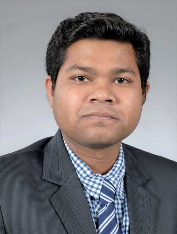
Dr. Shuhab D Khan is a Full Professor in the Department of Earth and Atmospheric Sciences at the University of Houston's College of Natural Sciences and Mathematics. He leads the Remote Sensing and Geospatial Research Laboratory (GeoRS), focusing on advanced geospatial techniques for earth science applications. His research integrates remote sensing, geospatial analytics, and field geology to address critical geological and environmental challenges. PhD in Geoscience from The University of Texas at Dallas (1996-2001) Dr. Khan specializes in hyperspectral imaging, land subsidence analysis, tectonic studies, and rare earth element exploration. His work bridges traditional geological field methods with cutting-edge remote sensing technologies, particularly in developing innovative spectral indices for mineral identification. He has made significant contributions to understanding active tectonics in the Himalayas and hydrogeological systems in North Africa. His recent publications show a strong trend toward multi-scale analysis of geological phenomena, from microscopic mineral identification to regional tectonic studies. He has pioneered techniques using drone-based hyperspectral imaging for rare earth element detection and developed novel approaches for analyzing land subsidence in urban areas using InSAR technology. Dr. Khan actively mentors students through research projects and leads the Remote Sensing and Geospatial Research Laboratory. His laboratory work focuses on developing practical applications of geospatial technologies for resource exploration, environmental monitoring, and natural hazard assessment. He has secured research funding for projects related to coastal erosion monitoring, subsidence analysis, and mineral exploration.