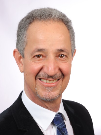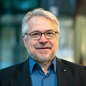
Wolfgang ZachariasView profile
Professor
Professor Wolfgang Zacharias is the Chair of Geodesy at the Technical University of Munich (TUM), leading the Geodetic Institute. His research focuses on satellite geodesy, Earth system monitoring, and climate change studies. He holds a PhD in Geodesy from TUM and has over 20 years of experience in geodetic data analysis and remote sensing applications. Education: PhD in Geodesy, Technical University of Munich, 2003 Diploma in Geomatics Engineering, Dresden University of Technology, 1998 Research Interests: Professor Zacharias specializes in integrating satellite altimetry, GPS, and radar interferometry for monitoring Earth's dynamic processes. His work addresses climate change impacts on sea levels, crustal deformation, and coastal erosion. He collaborates with international space agencies and contributes to global geodetic reference frameworks. Publications Trends: Recent articles emphasize multi-sensor data fusion, crustal deformation modeling, and climate-related geodetic applications. Key themes include satellite laser ranging, terrestrial laser scanning, and Earth rotation parameter estimation. Awards: 2023: Bavarian Order of Merit 2021: TUM Teaching Award Grants & Labs: He leads the Geodetic Institute at TUM, overseeing projects funded by the German Research Foundation (DFG) and the European Space Agency (ESA). Active in graduate education, he advises students in geodetic engineering and Earth observation technologies.