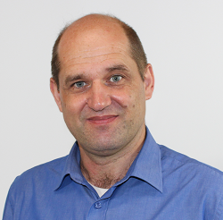
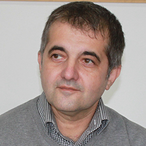
Mohammad BagherbandiView profile
Professor
Mohammad Bagherbandi is a Professor at the University of Gävle , specializing in Geomatics and Applied Geodesy within the Department of Computer Science and the Built Environment . He has been affiliated with the university since 2012 and maintains a concurrent role as a Senior Researcher (Associate Professor) at KTH Royal Institute of Technology , where he worked as a postdoctoral researcher for two years post-PhD (2011) in Physical Geodesy and Earth's Interior Modeling . Research Areas : Precision positioning, Earth observation, infrastructure monitoring, gravity field modeling, environmental monitoring (climate change, ice melt, sea-level changes) Key Methods : Geodetic, remote sensing, GNSS/IMU integration, GNSS reflectometry, InSAR His recent work emphasizes interdisciplinary links between geodesy and geophysics , particularly in quantifying land uplift from glacial isostatic adjustment (via GRACE/GRACE-FO), deformation monitoring in urban/railway systems, and integrating geodetic data with wireless sensors. Projects include: Roof network in the air (2019–2022) - Swedish Transport Administration Satellite monitoring of railways (2020–2021) - Traffic Agency Spatial Data Innovation (2018–2021) - Swedish Agency for Economic and Regional Growth 3D mapping accuracy (2018–2020) - Lars E. Lundberg's Foundation Subsidence monitoring in urban regions (2019–2020) - SWECO/J. Gust. Richert Foundation He contributes to GNSS signal applications for detecting sea-level variations and tidal frequencies, alongside theoretical advancements in geoid/quasigeoid modeling and relativistic geodesy. His research spans planetary height systems (e.g., Mars/Lunar geodesy) and geophysical stress modeling in regions like Fennoscandia and the Tibetan Plateau.