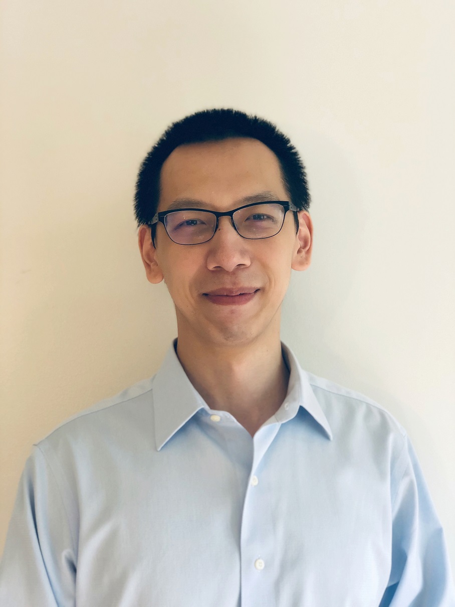
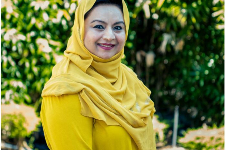
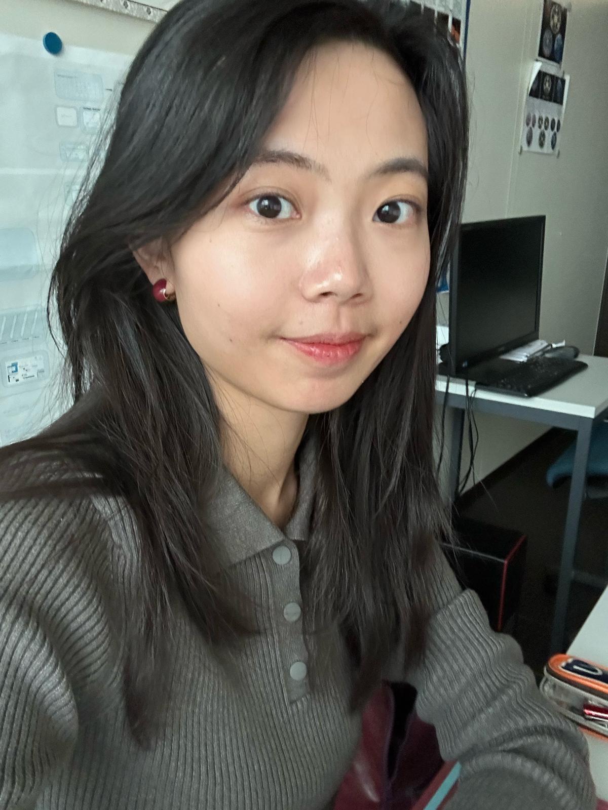
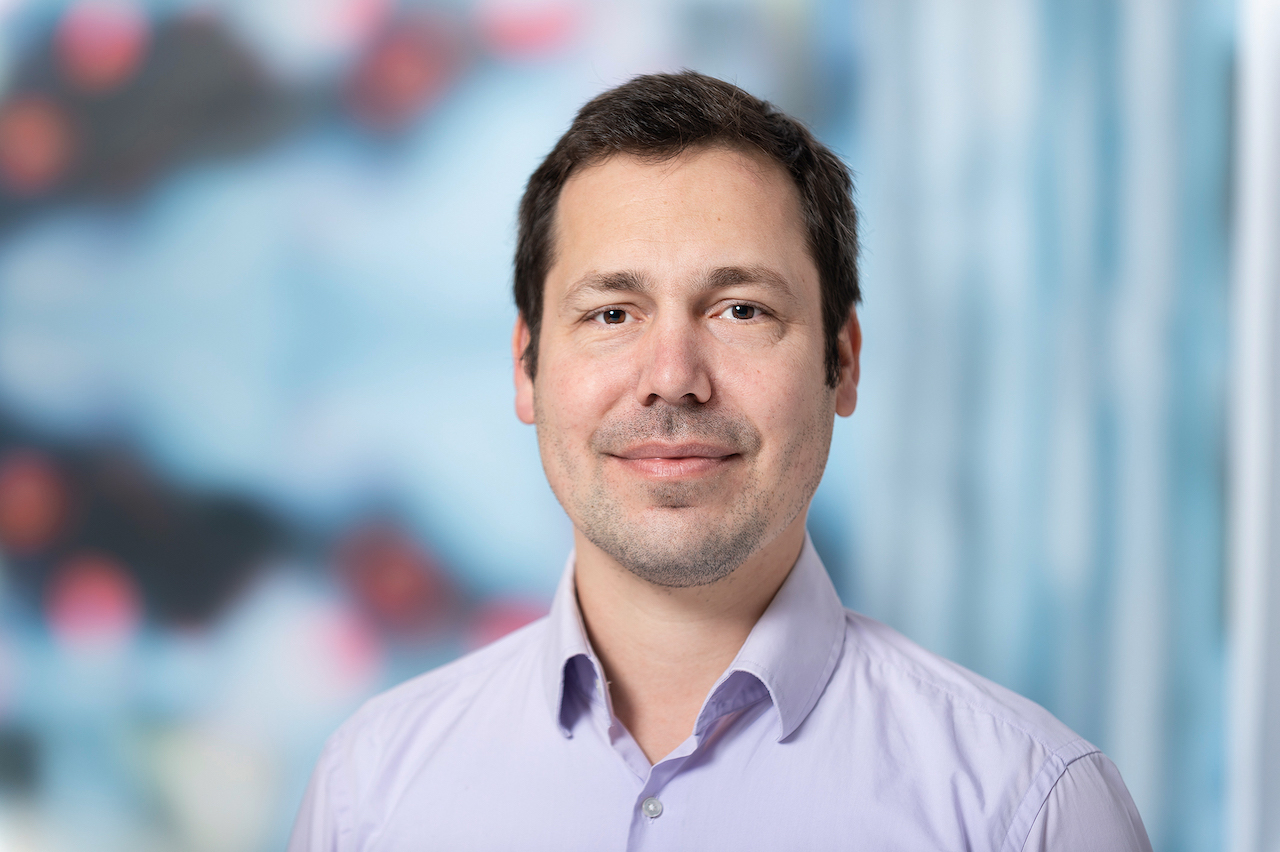
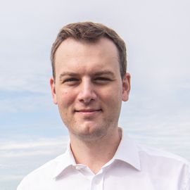
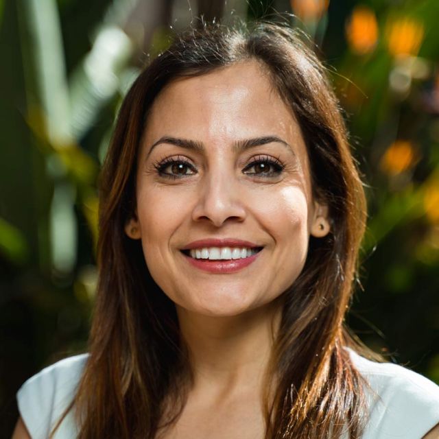
Prof. Dr. Thomas Brinkhoff is Chair of the Institute Board and Chair of Geoinformatics at Oldenburg University of Applied Sciences. He leads the Institute for Applied Photogrammetry and Geoinformatics (IAPG) and contributes to institutions like the Association for the Promotion of Geoinformatics in Northern Germany (GiN e.V.) and the Oldenburg Research and Development Institute for Computer Science (OFFIS e.V.). Education: Diploma in Computer Science (Informatik), Universität Bremen (1990) Doctorate in Computer Science (Dr. rer. nat.), Ludwig Maximilian University of Munich (1994) Brinkhoff's research spans geodatabase systems, spatiotemporal data processing, geosensor analytics, and location-based services. His work addresses Volunteered Geographic Information (VGI), web-based geospatial visualization, and mobile data integration, with applications in traffic management and forensic science. Recent projects include ProSaDi (Digital Provenance and Collection Research) and contributions to the Laboratory for optical 3D metrology . He has served on program committees for ACM SIGSPATIAL (2002-2019), AGILE conferences (2010-2025), and editorial boards of journals like GeoInformatica and TGIS. Notable Lectures: 2024: Forensic applications of tachograph data 2023: Geoinformatics in homicide investigations 2022: Spatiotemporal analysis for sustainability projects 2015: Open geodata standards at FOSSGIS 2014: Mobile sensor data processing
Xiaowei Jia is an Assistant Professor in the Department of Computer Science at the University of Pittsburgh. He holds a Ph.D. from the University of Minnesota (supervised by Prof. Vipin Kumar) and B.S./M.S. degrees from the University of Science and Technology of China (USTC) and SUNY Buffalo. His research focuses on integrating scientific theory with machine learning to address societal and environmental challenges, such as climate modeling, hydrology, and fairness in AI. Education: Ph.D., University of Minnesota (2020) M.S., State University of New York at Buffalo B.S., University of Science and Technology of China (USTC) Research Interests: Knowledge-Guided Machine Learning Spatiotemporal Data Mining Fairness in AI for Social Good Applications in Environmental Science and Healthcare Publications showcase his work on physics-integrated neural networks, spatiotemporal modeling (e.g., water temperature prediction), and fairness-aware algorithms. His work has been recognized with Best Paper awards at SIAM SDM (2022, 2023). Awards include the Best Applied Data Science Paper Award at SIAM SDM in 2022 and 2023. He teaches advanced machine learning courses, emphasizing theory integration with real-world applications.
Zahra Gharineiat is an Associate Professor at the University of Southern Queensland , affiliated with the School of Surveying and Built Environment . She has over 8 years of tertiary teaching experience and 11 years of administrative responsibilities. Bachelor of Surveying (BSurv), University of Tabriz Master of Engineering Management (MEngMgt), University of Melbourne PhD, University of Newcastle Research Interests : Zahra specializes in Geomatic Engineering and Machine Learning , with a focus on applications like Unmanned Aerial Vehicles (UAVs) , LiDAR , Digital Twins , and Remote Sensing . Her work spans Earth Science Observations , Satellite altimetry , and Geodetic data capturing , integrating Computational Modelling and Geoinformatics for innovative solutions. Professional Affiliations : She is a member of the Surveying and Spatial Sciences Institute (SSSI) and the International Union of Geodesy and Geophysics (IUGG) . Her research affiliations include the Centre for Future Materials (CFM) , Institute for Advanced Engineering and Space Sciences (IAESS) , and Centre for Astrophysics (CA) .
Dr. Athos Agapiou serves as an Assistant Professor at the Department of Civil Engineering and Geoinformatics, Cyprus University of Technology, where he holds the 'Geoinformatics and Earth Observation' chair. He also serves as Deputy Director of the UNESCO Chair on Digital Cultural Heritage and coordinates the EOCult Laboratory, a specialized research group focused on applying Earth Observation and Geoinformatics for archaeological research and cultural heritage landscapes. His research interests center on developing and applying innovative remote sensing technologies for cultural heritage preservation, addressing challenges posed by environmental and anthropogenic factors. Dr. Agapiou has led numerous high-profile research initiatives at European and national levels, including Horizon Europe and Horizon 2020 projects, as well as programs funded by the Cyprus Research and Innovation Foundation. His publication record demonstrates consistent output in remote sensing applications for archaeology, with particular focus on satellite image fusion, UAV technologies, spatial resolution optimization, and advanced data analysis techniques for archaeological prospection. His work bridges technical remote sensing methodologies with practical archaeological applications. Young Scientist Award from International Society for Digital Earth (2023) Young Researcher Award by Cyprus Research Awards (2018) Top 2% researcher worldwide in field (Stanford studies 2020-2024) Top three global researchers in Geoinformatics for cultural heritage (2024) Dr. Agapiou actively contributes to major research projects and collaborations, with his work influencing both academic research and practical applications in cultural heritage management. His laboratory (EOCult) serves as a hub for interdisciplinary research connecting geospatial technologies with archaeological practice.
Dr. Farha Sattar is a Lecturer in Education (Mathematics) at the Faculty of Arts and Society, Charles Darwin University. With over thirty years of teaching experience in Mathematics, Science education, GIS, Remote Sensing, and e-Learning technologies at undergraduate and postgraduate levels, Dr. Sattar brings extensive expertise to her academic role. She holds a PhD in Geospatial Science from Charles Darwin University, focusing on Spatial Mathematical Modelling for 3D Gully Mapping and Erosion Quantification. Her educational background includes: PhD in Geospatial Science (Three Dimensional Gully Mapping and Erosion Quantification within a Geoinformatics Framework), Charles Darwin University (2012) Prior academic experience at several Asian and European universities Dr. Sattar's research spans multiple interdisciplinary fields with a strong focus on the intersection of education and technology. Her primary research interests include Mathematics Education, STEM Education, Geoscience Education, Spatial Mathematical Modelling, Drone Technology, Remote Sensing, Geographic Information Systems, and Innovative Pedagogies such as experiential learning and inquiry-based approaches. She has developed expertise in cognitive development, particularly in fostering critical and creative thinking skills through iSTEM approaches. An analysis of Dr. Sattar's recent publications reveals a consistent trajectory toward integrating emerging technologies like drones, augmented reality, and geospatial artificial intelligence into educational contexts. Her work demonstrates a progression from foundational geospatial research on erosion mapping to innovative applications in STEM education. Recent publications increasingly focus on drone technology for educational purposes, spatial data infrastructure for policy development, and computational thinking development through technology-enhanced learning. Dr. Sattar has received numerous accolades for her contributions to education and research: NT Science Week Awards – Inspired NT STEM Hero of the Year award (2021) Long Service Recognition Award (2023) Finalist, CDU Alumni Award (2023) Multiple Best Presentation Awards (2008, 2010, 2017) Australian College of Educators - 2021 College Medal Nominee As a supervisor, Dr. Sattar mentors postgraduate research students including Ayesha Farhan, who is working on "A Framework for Cognitive Development: Fostering Critical and Creative Thinking Skills, Using iSTEM Approach." She actively secures research funding through various projects such as "DBELaSTEM: Drone-Based Experiential Learning and STEM Education," "STEM_D & VR: Youth STEM Learning and Empowerment with Drones and VR," and "CodProg Drone Lab." Her research is supported by grants from NT Government projects and other external funding sources. Dr. Sattar leads the CodProg Drone Lab, an innovative research space exploring drone technology applications in education. She is a certified drone pilot and aeronautical radio operator, which enables her to bridge theoretical knowledge with practical applications. Her work with the "Flying Forward: Drones, STEM Equity, and Indigenous Empowerment" initiative demonstrates her commitment to community engagement and addressing educational disparities through technology.
Bharat Lohani is a Professor at the Department of Civil Engineering in Indian Institute of Technology Kanpur . His work focuses on Geoinformatics , utilizing LiDAR and GIS for 3D modeling and spatial analysis. Education : PhD (University of Reading, UK), ME (IIT Roorkee), BE (MMM Engineering College Gorakhpur) Research Interests : LiDAR simulation, motion correction in scanning, flood propagation modeling, historical urban mapping, GPS signal analysis, agricultural land consolidation Article Trends : His publications emphasize LiDAR data processing , sensor integration , and optimization algorithms for geospatial applications. Scientific Awards : ISRS National Award (2012), Best Paper at INCA Congress (2012), Silver Award at ISPRS (2008) Advising : Mentored 8+ students in LiDAR and spatial data analysis Labs/Teams : Leads a research group at IITK including Aswani Kumar Munnangi and Salil Goel, affiliated with the Wadhwani School of AI & Intelligent Systems .
Prof. Christian Heipke is a distinguished academic serving as Dean of the Faculty of Civil Engineering and Geodetic Science at Leibniz University Hannover, Germany. He also holds the position of Executive Director at the Institute of Photogrammetry and GeoInformation (IPI), one of the leading research institutions in geospatial sciences within the faculty. His leadership extends across multiple committees including the Curriculum and Teaching Committee, Admissions and Examination Boards for Geodetic Science and Geoinformatics, and Navigation and Environmental Robotics. As a Professor at IPI, he maintains active research while overseeing significant academic and administrative responsibilities at the university. Professor Heipke's research spans multiple domains within geospatial sciences, with particular emphasis on: Advanced photogrammetric techniques and algorithms Remote sensing applications for environmental monitoring Computer vision approaches for geospatial data analysis Urban development monitoring using satellite imagery Machine learning applications in geoinformatics Disaster prediction and management systems His recent scholarly output reveals a strong focus on integrating cutting-edge computer vision and deep learning techniques with traditional photogrammetric methods. Analysis of his 15 most recent publications shows a clear trajectory toward more sophisticated AI-driven approaches for processing geospatial data, with particular attention to time-series analysis, uncertainty quantification, and multi-view systems. His work bridges theoretical advancements with practical applications in flood forecasting, deforestation monitoring, urban planning, and construction materials analysis. The geographic scope of his research has expanded significantly, with recent projects focusing on international case studies in the Philippines and tropical regions. Professor Heipke leads the Institute of Photogrammetry and GeoInformation, a major research hub that has celebrated 75 years of contributions to the field. His leadership extends to the Graduiertenkolleg 2159: "Integrity and Collaboration in Dynamic Sensor Networks," where he serves as a professor overseeing doctoral research. The institute maintains state-of-the-art facilities for processing satellite imagery, aerial photography, and developing novel algorithms for geospatial data analysis. Under his direction, the institute has strengthened its international collaborations and interdisciplinary research approaches, particularly in addressing Sustainable Development Goals through geospatial technologies.
Sidi Wu is a Researcher affiliated with ETH Zürich's Institute of Cartography and Geoinformatics. Their primary role is as Staff of the Professorship for Cartography, contributing to academic research and technical operations within the department. They are based at HIL G 23.2, Stefano-Franscini-Platz 5 in Zürich, Switzerland, and can be reached at sidiwu@ethz.ch. Research interests center on advancing AI-driven cartographic methods, historical map analysis, and environmental spatial dynamics. Specific focuses include generative AI applications in map-making, semantic segmentation of historical documents, and leveraging digitized maps for ecosystem studies. They also explore steganography in image translation and cross-domain adaptation techniques for geospatial data. Recent work emphasizes innovations in automated map storytelling systems, spatio-temporal context modeling using transformers, and weakly supervised learning approaches for map segmentation. Their studies frequently bridge cartography with environmental science disciplines like hydrology and urban morphology. No scientific awards or grants are explicitly listed in the provided information. While no advisees are documented here, their research collaborations likely involve student contributions. They are part of the core team at the Institute of Cartography and Geoinformatics, contributing to cutting-edge projects in geomatics and computational cartography.
Tuuli Toivonen is a Professor of Geoinformatics at the Department of Geosciences and Geography, University of Helsinki. She leads the transdisciplinary Digital Geography Lab , which addresses human-scale spatial analytics for sustainable societies. She serves as Vice-Director of Geography Degree Programs (post-2022) and previously held the Director role (2020-2022). After receiving the ERC Consolidator Grant in 2022, she continues advancing open science through active memberships in HELSUS and URBARIA . PhD in Geography (University of Turku, 2006) Specialist Vocational Qualification in Leadership (2023) Life Member, Clare Hall, University of Cambridge (since 2021) Her research focuses on Human-Place Interactions through accessibility/mobility lenses, combining Open Data , Machine Learning , and Spatial Analytics . Key application areas include Urban Geography , Conservation Science , and Governance Policy . Recent publications address Dynamic Cities (2018), Social Media for Conservation (2019), and Environmental Exposure During Travel (2021). Her lab produces datasets like the Helsinki Region Travel Time Matrix series (2014-2023). Scientific Awards: European Open Data Champion (2017) Open Science Price (2017) University of Helsinki Geography Award (2018) She supervises Master's thesis work and serves as Opponent for doctoral defenses across Europe. Her teaching portfolio includes Advanced Geoinformatics and Digital Geographies courses.
Jan Dirk Wegner is an Associate Professor at the University of Zurich, holding the chair in 'Data Science for Sciences' and leading the EcoVision Lab. He previously served as a Postdoc (2012–2016) and senior scientist (2017–2020) at ETH Zurich's Photogrammetry and Remote Sensing Group, following his PhD (with distinction) from Leibniz University Hannover (2011). His research bridges machine learning, computer vision, and remote sensing to address environmental and geoscience challenges, focusing on large-scale environmental data analysis, vegetation monitoring, and climate change mitigation. Education: PhD (with distinction) in Geodesy, Leibniz University Hannover (2011) Postdoc, ETH Zurich (2012–2016) Senior Scientist, ETH Zurich (2017–2020) Research Interests: Machine Learning, Computer Vision, Remote Sensing, Environmental Science, Climate Science, Geosciences, Explainable AI, Uncertainty Quantification, and Applications in Sustainability. The EcoVision Lab develops data-driven methods for global-scale environmental monitoring, including vegetation parameter mapping, flood prediction, forest degradation detection, and AI-driven ecological modeling. Awards: ETH Postdoctoral Fellowship (2012–2016) Science Prize of the German Geodetic Commission WEF Young Scientist Class 2020 (Top 25 globally under 40) Advising & Leadership: Director of the University of Zurich's Doctoral School in Data Science, leading the EcoVision Lab, and coordinating the CVPR EarthVision Workshops. His roles include Vice President of ISPRS Technical Commission II, member of the ETH AI Center, ELLIS, and UN-ETH Partnership. Labs/Teams: EcoVision Lab focuses on interdisciplinary AI applications for environmental challenges, collaborating with NGOs, governments, and industry to translate research into societal impact.
Dr. Dennis Buckmaster is a Professor in Agricultural & Biological Engineering at Purdue University, serving as Dean's Fellow for Digital Agriculture. He holds a B.S. from Purdue University and M.S./Ph.D. from Michigan State University. His research focuses on digital agriculture, machine systems engineering, and data science applications in farming. He co-coordinates the Agricultural Systems Management program and teaches courses like Computing Technology with Applications and Ag Tech and Innovation. He leads the Open Ag Technology and Systems Center (OATS Center), advancing open-source solutions for agriculture through platforms like ISOBlue and OADA. His work integrates IoT, robotics, and machine learning to optimize crop production, livestock management, and farm decision-making. He has authored over 150 publications on precision agriculture technologies. Professional memberships include American Society of Agricultural and Biological Engineers and Fluid Power Society. He emphasizes data interoperability, edge computing, and bridging engineering with agricultural practices through collaborative frameworks like LATTICE and Meta Ag.
Filip Biljecki is an Assistant Professor jointly appointed at the Department of Architecture within the College of Design and Engineering and the Department of Real Estate at the NUS Business School, National University of Singapore. He is the founder and principal investigator of the NUS Urban Analytics Lab and was awarded the prestigious NUS Presidential Young Professorship in 2020. With over 150 peer-reviewed publications, his research bridges geomatic engineering, geospatial technologies, and urban data science to advance digital twins and data-driven urban planning. Dr. Biljecki's educational background includes: PhD in 3D GIS (cum laude), Delft University of Technology, Netherlands (2017) MSc in Geomatics, Delft University of Technology, Netherlands (2010) BSc in Geodesy and Geoinformatics, University of Zagreb, Croatia (2008) His research interests focus on emerging urban data sources, particularly urban imagery, and their application in 3D city modeling, digital twins, and GeoAI. He explores how crowdsourcing and open science can inform cutting-edge techniques for urban sensing and analytics at city-scale. His work significantly contributes to establishing smart cities through innovative methods that integrate recent advancements in computer science, geomatics, and urban data science. Analysis of his recent publications reveals a strong focus on street view imagery applications for urban analytics, digital twin development, and geospatial AI. His research spans multiple domains including urban morphology, environmental assessment, public health applications, and urban comfort analysis. The interdisciplinary nature of his work is evident in collaborations with researchers from diverse fields, producing impactful studies that address complex urban challenges through innovative methodological approaches. His notable scientific achievements include: Annual Teaching Excellence Award (ATEA), 2025 College Educator Award AY2023/2024, 2025 Urban Informatics Paper of the Year Award, 2023 Top 2% scientists worldwide (Stanford University), 2021 Presidential Young Professorship (NUS), 2020 As an educator, Dr. Biljecki has supervised dozens of students leading to publications in leading journals and placements at top universities and organizations. He has delivered talks at over 120 universities and organizations worldwide including MIT, Stanford, Harvard, and ETH Zurich. His research is supported through various grants and affiliations including his role as Principal Investigator at the Future Cities Lab Global at the Singapore-ETH Centre. The NUS Urban Analytics Lab, which he established, brings together scholars from diverse disciplines to drive research on making cities smarter and more data-driven. The lab has developed innovative tools like ZenSVI for street view imagery analysis and has produced influential research on urban digital twins, urban morphology, and GeoAI applications. Through his leadership, the lab continues to pioneer methods that advance data-driven urban planning and smart city development.
Somayeh Dodge is an Associate Professor of Spatial Data Science in the Department of Geography at the University of California, Santa Barbara (UCSB). She leads the MOVE Lab and serves as Co-Associate Director of the UCSB Center for Spatial Studies and Data Science. Her research focuses on computational movement analysis, spatiotemporal data science, and the application of these tools to study human and ecological systems. She holds editorial roles in major journals including Journal of Spatial Information Science and Geographical Analysis. Education: PhD in GIScience (University of Zurich, 2011), MS in GIS Engineering (K.N.Toosi University of Technology, 2005), and BS in Geomatics Engineering (2003). Postdoctoral work at The Ohio State University and University of Zurich. Prior faculty positions include University of Minnesota (2016–2019) and University of Colorado, Colorado Springs (2013–2016). Research interests include wildfire impact analysis, mobility patterns during disasters, environmental vulnerability modeling, and geovisualization techniques. Her NSF CAREER project explores movement responses to environmental disruptions. Teaching focuses on GIScience, movement analytics, and spatial modeling courses. Awards: 2021 NSF CAREER Award and 2022 AAG Emerging Scholar Award. Active in editorial boards for multiple journals and serves on the Board of Directors for the University Consortium for Geographic Information Science (UCGIS). Advising: Supervises 7 graduate students in mobility analytics and environmental modeling. Labs/Teams: MOVE Lab (https://move.geog.ucsb.edu/) focuses on computational movement ecology and human mobility studies.
Michela Bertolotto is a Professor in the School of Computer Science at University College Dublin (UCD). Her research focuses on spatio-temporal data modeling, GIScience, and applications of geospatial technologies in fields like urban planning and health informatics. She leads a research group and has supervised 19 PhD and 8 MSc students. Her work includes innovations in LiDAR-based flood risk visualization, semantic web quality assurance, and open-source spatial data analysis. Bertolotto has held roles including College Lecturer at UCD (2000–2006) and postdoctoral research positions at the University of Maine and University of Genoa. Education: BSc and PhD in Computer Science from the University of Genoa (1993, 1998). Professional achievements include over 100 publications, 24 grants (e.g., Science Foundation Ireland-funded Urban ARK project), and editorial roles at journals like the International Journal of Geographical Information Science. Awards include the UCD President's Research Award (2001) and NATO Postdoc Fellowship (1998–1999). Research interests span map personalization, volunteered geographic information (VGI), and geospatial data quality. Her lab develops tools like the LAMSkyCam (low-cost sky imaging system) and dynamic flood risk viewers. She chairs international conferences and serves on program committees for GIScience events.
Prof. Nikos Mamoulis is a Professor at the Department of Computer Science & Engineering, University of Ioannina, and a Lead Researcher at Archimedes Research Unit, ATHENA RC. He holds a PhD from Hong Kong University of Science and Technology (HKUST) and a Diploma from the University of Patras. His research focuses on spatial data management, big data analytics, data privacy, and uncertain data systems. Education : Ph.D., Computer Science, Hong Kong University of Science and Technology (2000) 5-year Diploma, Computer Engineering and Informatics, University of Patras (1995) Research Interests : Complex data management (spatial, spatio-temporal, time-series, text, graphs), big data analysis, privacy preservation, and uncertain data systems. He develops scalable algorithms and systems for modern data management challenges, with applications in transportation, social networks, and geospatial analytics. Projects & Grants : MESA: In-memory Spatial Analytics Made Scalable (HFRI-funded, PI) MORE: Real-time Energy Data Management (H2020, Senior Researcher) Smart City Bus Platform (ERDF-funded, PI/Coordinator) Awards : Outstanding Young Researcher Award (2008-2009, HKU) Best Paper Award at SSTD 2015 Test of Time Award at MDM 2022 Labs & Collaborations : Leads the Archimedes Research Unit at ATHENA RC, collaborating with institutions like HKUST and Uppsala University on spatial and big data systems. Active in organizing top-tier conferences like SIGMOD, EDBT, and ICDE.