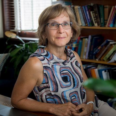
Cynthia EbingerView profile
Professor
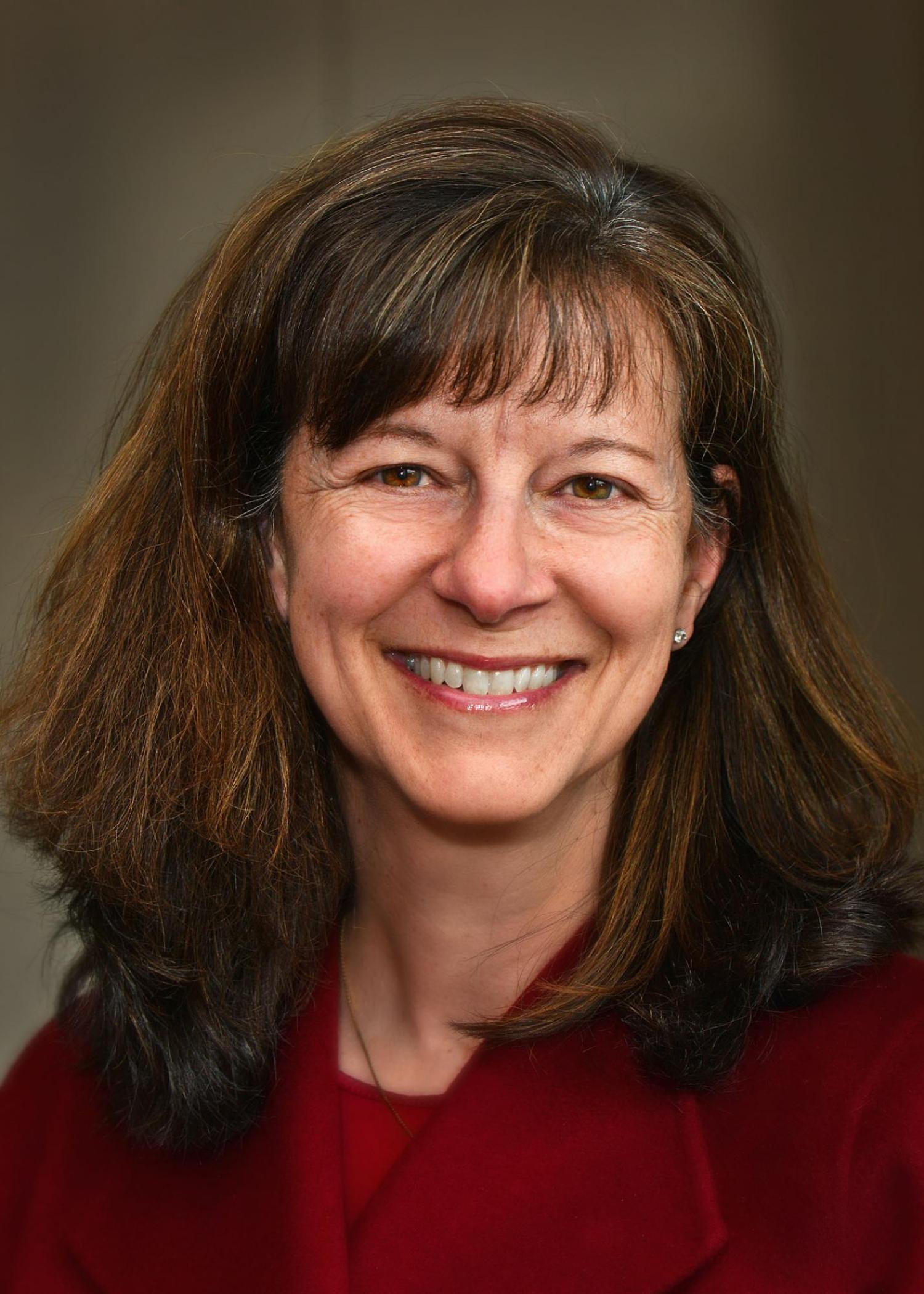
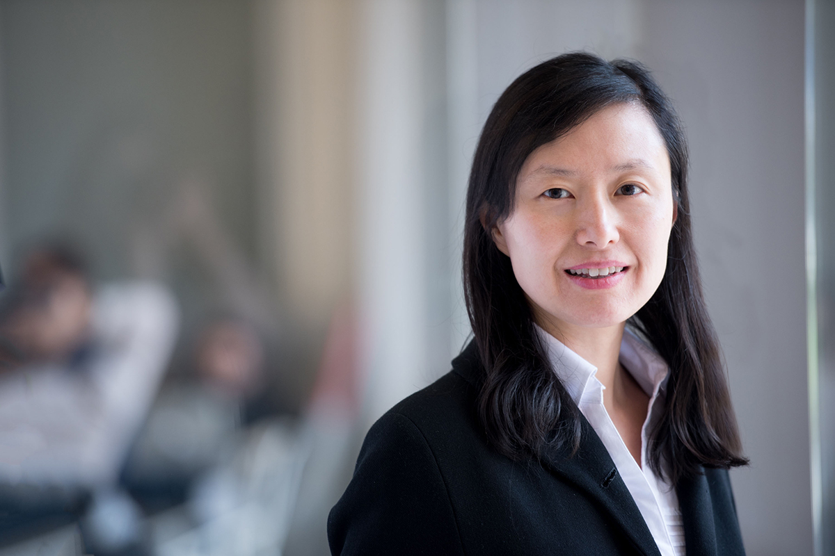
Cynthia Ebinger is a Professor in the Department of Earth and Environmental Sciences at Tulane University, affiliated with the School of Science & Engineering. She holds the Marshall-Heape Chair and previously served at the University of Rochester and as an Adjunct Professor at Royal Holloway, University of London. Her research focuses on geophysics, rift systems, seismic monitoring, volcanoes, and plate tectonics in West Africa and East Africa, particularly the Turkana Depression and East African Rift. She has conducted fieldwork in Ecuador, Peru, Kenya, Uganda, Ethiopia, and Australia. Education : Ph.D., MIT/WHOI, Joint Program in Oceanography, Marine Geology & Geophysics (1988) M.A., MIT, Geophysics (1986) B.S., Duke University, Geology (1982) Research Interests : Dr. Ebinger investigates continental rifting mechanisms, magmatic processes, seismic anisotropy, and volcanic systems. Her work integrates geophysical methods (e.g., InSAR, receiver functions) to study deformation in regions like the East African Rift and Gulf of Mexico passive margin. She emphasizes understanding crustal dynamics, lithosphere modification, and the interplay between tectonics and surface processes. Publications : Her recent work addresses rift linkage mechanics, crustal anisotropy variations, and volcanic deformation (e.g., Nyiragongo eruption). Key themes include seismic imaging of rift zones, subsidence patterns in coastal Louisiana, and mantle lithosphere interactions. Awards : American Geophysical Union Distinguished Lecturer (2023-2024) NASEM Jefferson Science Fellow (2022-2023) Woollard Award (2021) Tulane Honors Professor of the Year (2021) Grants & Collaborations : Leads projects funded by NSF and international collaborations, focusing on Turkana Depression geodynamics, Gulf of Mexico subsidence, and volcanic monitoring in East Africa. Active in education initiatives to strengthen quantitative geophysics training. Labs/Teams : Core member of the Tulane Earth Sciences group and collaborates with global networks (e.g., Project TRAILS in East Africa). Engages in field-based research and satellite geodesy applications.