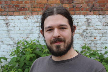
Takeshi ShirabeView profile
Associate Professor
Takeshi Shirabe is an Associate Professor in the Division of Geoinformatics at KTH Royal Institute of Technology, Sweden. He holds positions in the Department of Urban Planning and Environment, School of Architecture and the Built Environment (ABE), and is part of the Digital Futures cross-disciplinary research center. His research focuses on spatial optimization, geographic information science (GIS), and geodesign, with particular emphasis on raster-based models for spatial decision support and route improvisation. He has taught numerous courses including GIS Architecture and Algorithms, Computational Methods in GIS, and Spatial Planning with GIS. Shirabe's academic journey includes a PhD from the University of Pennsylvania (USA), a Master’s in City and Regional Planning from the same institution, and a Bachelor of Engineering from the University of Tokyo. Before joining KTH in 2010, he served as an Assistant Professor at Vienna University of Technology, Austria, where he earned his Habilitation in Geoinformation. His research interests span combinatorial optimization in geography, spatial decision support systems, and GeoDesign. Notable projects include the Space Time Alarm Clock (STAC), an Android app for pedestrian route improvisation, developed with Adrian C. Prelipcean and Falko Schmid. This tool uses real-time spatial-temporal analysis to guide users toward destinations efficiently. Shirabe has contributed to over 30 peer-reviewed publications since 2002, focusing on raster-based GIS methods for corridor design, least-cost path analysis, and spatial allocation modeling. His work bridges theoretical computational geometry with practical urban planning applications. Courses he oversees emphasize algorithmic and computational foundations of geospatial technologies.