
About
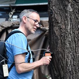
Patrick Hostert is a Professor of Geography at Humboldt-Universität zu Berlin with 30 years of expertise in remote sensing and geoinformatics. His work focuses on integrating advanced remote sensing methods (e.g., machine learning, big data analysis) with land systems analysis to address environmental and global change challenges.
- PhD in Remote Sensing, Universität Trier (2001)
- MSc in Geoinformation Systems, University of Edinburgh (1995)
- Diplom in Geography, Universität Trier (1994)
His research interests include:
- Remote sensing for environmental monitoring
- Machine learning applications in Earth observation
- Grassland and cropland dynamics
- Hyperspectral imaging (e.g., EnMAP mission)
- Climate change impacts and adaptation strategies
Recent work emphasizes:
- Mapping vegetation cover using Sentinel/Landsat time series
- Responsible AI frameworks for EO
- Global material stock quantification using EO data
Key contributions include the EnMAP-Box software tool and leadership in the MODCiX mowing detection initiative. Ongoing projects involve national-scale tree species mapping and drought impact analysis in European grasslands.
0Publications listed
Find Patrick Hostert elsewhere
Related Searches
You Might Also Like
 Benjamin JakimowHumboldt University · Research Fellow
 D. FrantzUniversity of Trier · Assistant Professor
 Ann-Kathrin HoltgraveTechnical University of Berlin (TU Berlin) · Researcher
 Marcel SchwiederHumboldt University · Researcher
 Sebastian van der LindenUniversity of Greifswald · Professor
 Akpona OkujeniHumboldt University · Researcher