

About
Michael Bevis is a Professor and Ohio Eminent Scholar in the Division of Geodetic Science at The Ohio State University, where he leads the Geodesy and Geodynamics (G2) group. A space geodesist since the late 1980s, he holds a Ph.D. from Cornell University (1982) and has established geodetic networks across the South Pacific, Andes, Greenland, and Antarctica to study Earth system dynamics.
- Ph.D. in Geophysics, Cornell University, 1982
Bevis specializes in crustal motion geodesy, GPS meteorology, and reference frame realization, with research spanning plate tectonics, earthquake deformation cycles, mountain building, postglacial rebound, and sea-level change. His work integrates GNSS, GRACE, and terrestrial gravity data to investigate ice mass dynamics, elastic loading phenomena, and water vapor climatology, emphasizing the coupling between geophysical processes and climate systems.
His recent publications (2023-2025) reveal a dominant focus on Antarctic and Greenland ice mass loss through elastic deformation modeling, alongside innovations in GNSS network applications for climate hazard monitoring and gravitational field theory. Key trends include joint inversions of multi-sensor geodetic data, advanced algorithms for satellite image processing, and theoretical refinements to spherical harmonic expansions for global gravity modeling.
- Ohio Eminent Scholar
Bevis has secured extensive research funding for global geodetic network deployments, including the Polar Earth Observing Network (POLENET) in Antarctica and the Greenland Network (GNET). His projects involve major international collaborations with NASA, NSF, and global geodetic initiatives, supporting infrastructure for real-time crustal motion monitoring and climate impact assessment. While specific student names aren't listed in source materials, his leadership of the G2 group implies significant graduate mentorship in geodetic science.
The Geodesy and Geodynamics (G2) group operates under the Division of Geodetic Science, maintaining specialized laboratories for GPS data processing, gravity measurements, and satellite geodesy. Bevis directs field teams conducting terrestrial gravity surveys in mountain chains and coordinates Antarctic network operations through the ANET GNSS array, with recent expansions into equatorial satellite constellations for climate hazard tracking.
Find Michael Bevis elsewhere
Related Searches
You Might Also Like
 Robert Smalley, Jr.University of Memphis · Research Professor
- HHaluk ÖzenerBosphorus University · Professor
 Yuning FuBowling Green State University · Associate Professor
 Emma HILLNanyang Technological University · Professor
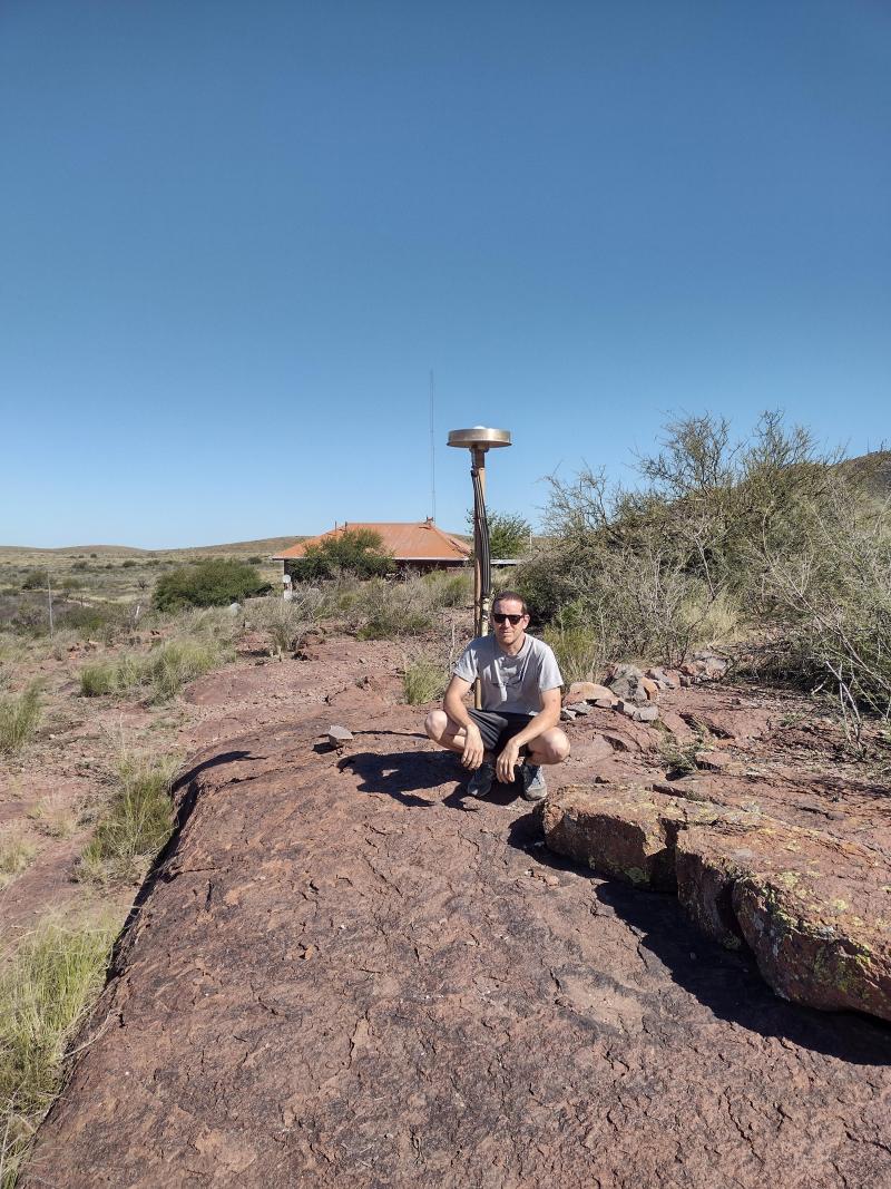 Demián GómezOhio State University · Associate Professor
 Ján HeftySlovak University of Technology in Bratislava · Professor