
About
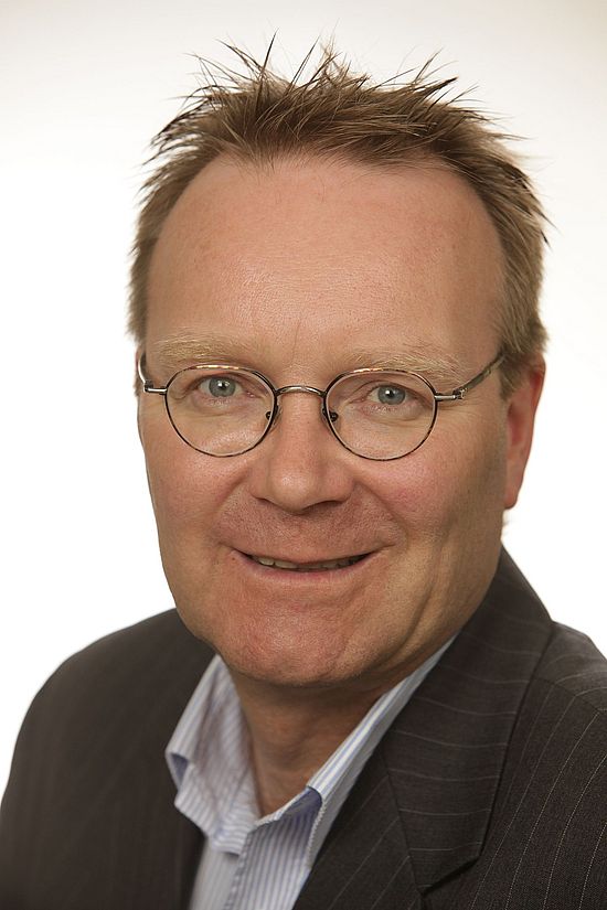
Matthias Moeller serves as Professor (W2) for Cartography, Geographical Information Systems, and Remote Sensing at Beuth University of Applied Sciences Berlin since October 2010, where he leads research in the Department of Applied Geoinformatics & Remote Sensing.
His academic journey includes significant appointments across multiple institutions: Acting Professor roles at University of Bamberg (Human Geography and GIS), University of Bonn (Cartography and Geoinformatics), and University of Salzburg (Remote Sensing in UNIGIS program). He completed his Habilitation in 2010 with the thesis "Semantic-quantitative modeling approaches for the synoptic monitoring of urban spaces."
Dr. Moeller's research focuses on Geoinformatics and Remote Sensing applications for environmental and urban systems, with expertise in spatial analysis, 3D modeling, and GIS integration. His work bridges theoretical advancements with practical implementations in land use and environmental monitoring.
He has held research positions at the Austrian Academy of Sciences (GIScience, Salzburg) since 2007 and served as Coordinator for the NSF-AgTrans project (Agricultural Landscapes in Transition) at Arizona State University's Global Institute of Sustainability from 2003-2007.
Throughout his career, Dr. Moeller has contributed to geospatial science through leadership roles including Managing Director of GiN - Competence Center for Geoinformatics in Lower Saxony (2002-2003) and Senior staff member at Steinbeis Transfer Center for Applied Geoinformatics & Environmental Research (2000-2002).
Find Matthias Moeller elsewhere
Related Searches
You Might Also Like
- CChris MoellerUniversity of Wisconsin-Madison · Research Fellow
- DDavid MoellerUniversity of Minnesota Twin Cities · Professor
- KKhizer ZakirParis Lodron University of Salzburg · Researcher
 Lin Nyi Nyi NyanParis Lodron University of Salzburg · Researcher
- CChristoph TraunParis Lodron University of Salzburg · Researcher
 Matthias PietschAnhalt University of Applied Sciences · Professor