About
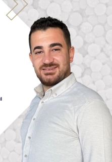
Bilal Atak serves as a full-time Lecturer in the Department of Cadastre and Property Mapping at Kaman Vocational School, Kirsehir Ahi Evran University, Turkey, holding this position since 2019 while also serving on the University Board and as Deputy Director of the Research Application Center since 2023.
His academic foundation includes a PhD in Remote Sensing and GIS (2021) from Yıldız Technical University, an MSc in Geomatics Engineering (2018) from Necmettin Erbakan University, and a BSc in Geodesy and Photogrammetry Engineering (2011) from Yıldız Technical University.
Dr. Atak's research specializes in UAV-driven geospatial solutions for cadastre systems, with core expertise in photogrammetry, remote sensing, and land administration. His work focuses on improving cadastral mapping accuracy through drone technology, orthophoto production, and geospatial data analysis, directly addressing practical challenges in property registration and land management.
His publication trajectory (2018-2024) reveals a concentrated evolution toward UAV applications in cadastral systems, demonstrating consistent methodological refinement in drone-based surveying techniques and accuracy validation protocols for land parcel delineation.
He teaches seven courses including Cartography, UAV Applications, Cadastre, and Photogrammetry across undergraduate and associate degree programs, emphasizing practical geospatial skills.
As Deputy Director of the Research Application Center, he drives institutional geospatial research initiatives, though specific laboratory infrastructure details remain undocumented in public sources.