Alison Cook
Researcher · Polar Geospatial Data Analysis
University of the Highlands and IslandsAbout
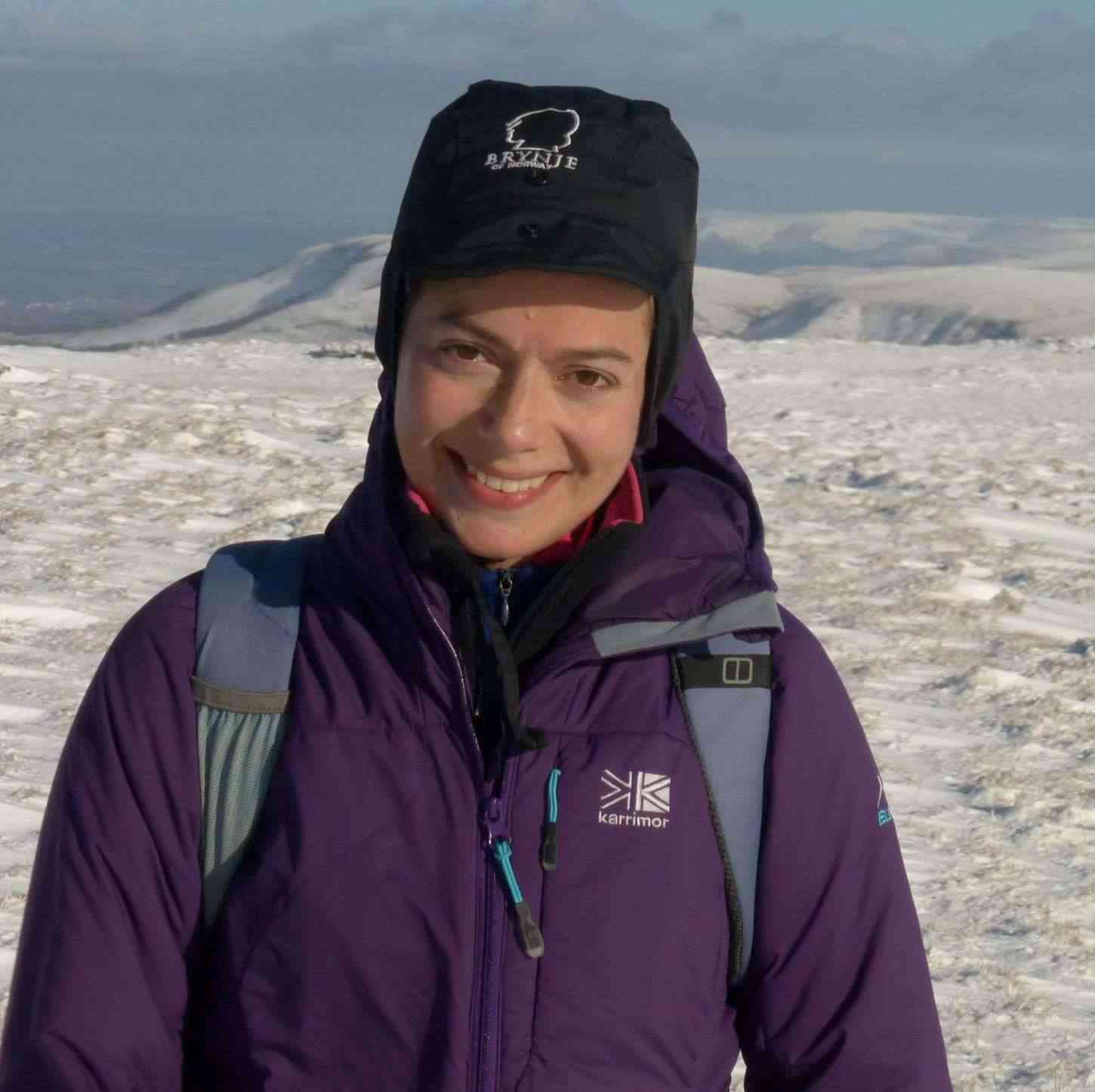
Dr. Alison Cook is a Polar Geospatial Data Analyst and Senior Postdoctoral Research Associate at the Scottish Association for Marine Science (SAMS), with extensive expertise in analyzing spatial and temporal changes in polar regions using GIS, remote sensing, and fieldwork methodologies. Her research spans glacier dynamics, sea ice patterns, and Arctic shipping impacts, with over 30 peer-reviewed publications and numerous publicly accessible geospatial datasets.
Dr. Cook earned her PhD in "Spatial and temporal changes in marine-terminating glaciers on the Antarctic Peninsula since the 1940s" from Swansea University (2014), following an MSc in Geographical Information Science from Edinburgh University (1999) and a BSc in Geography from the University of St Andrews (1998). Her early career included a decade as a Geographic Data Analyst at the British Antarctic Survey (2000-2010), followed by research fellowships at Durham University (2015-2018) and the University of Ottawa (2018-2020).
Her research focuses on polar geospatial data analysis with specific expertise in glacier front changes, surface elevation dynamics, calving frequency, and Arctic shipping patterns. Current projects include the ARIA GIANT initiative (2025-2030) examining Greenland Ice Sheet tipping points, and the Canada Inuit Nunangat UK Arctic Research Programme (CINUK2021, 2022-2025) investigating shipping impacts on Inuit communities. She employs UAV drones for glacier front photography in Greenlandic fjords and develops Structure from Motion Digital Elevation Models for high-resolution ice dynamics analysis.
Dr. Cook's publication record reveals an evolution from Antarctic-focused glaciology to contemporary Arctic shipping research, reflecting changing polar conditions. Her early work centered on Antarctic Peninsula ice shelves and glacier dynamics, while recent publications address Arctic shipping navigability, environmental impacts, and community consequences of reduced sea ice.
- Royal Scottish Geographical Society (RSGS) William Speirs Bruce Medal (2010) - first female recipient since the medal's 1926 inception, recognizing significant contributions to Antarctic science and fieldwork
- British Cartographic Society Stanfords Award (2007) - for innovative production of the first large-scale topographic map of Ryder Bay, Antarctica using novel ortho-photograph techniques
- Maps of Antarctica and the Arctic displayed at Scott Polar Research Institute, Cambridge entrance hall
Dr. Cook has secured substantial research funding for polar investigations and maintains extensive field experience with three Antarctic seasons (2002-2003, 2004-2005, 2009), fieldwork in South Georgia (2008), and Canadian Arctic expeditions (2017-2019). Her outreach includes frequent public presentations, school talks about polar fieldwork, and community engagement with Inuit communities in Nunavut, where she taught map-making to local youth as part of the Arctic Corridors and Northern Voices project.
She leads multiple international research collaborations and has generated significant geospatial datasets used by the broader scientific community, including coastal-change and glaciological maps of the Antarctic Peninsula, South Georgia glacier changes, Antarctic Peninsula drainage-basin outlines, and Arctic shipping data for the NORDREG zone (1990-2022).